
12 Beautiful Tenerife Hikes I Explored
12 beautiful Tenerife hikes through Anaga, Teide, Teno and the northern coast, with route maps, photos and practical tips.

Updated September 25, 2026
Want to plan the perfect hiking trip to Tenerife or just add something exciting to your beach getaway? We've compiled 12 top hiking trails on the island, complete with detailed descriptions, trailhead maps, and routes. In our guide, you can choose the perfect trail based on difficulty, distance, views, and more.
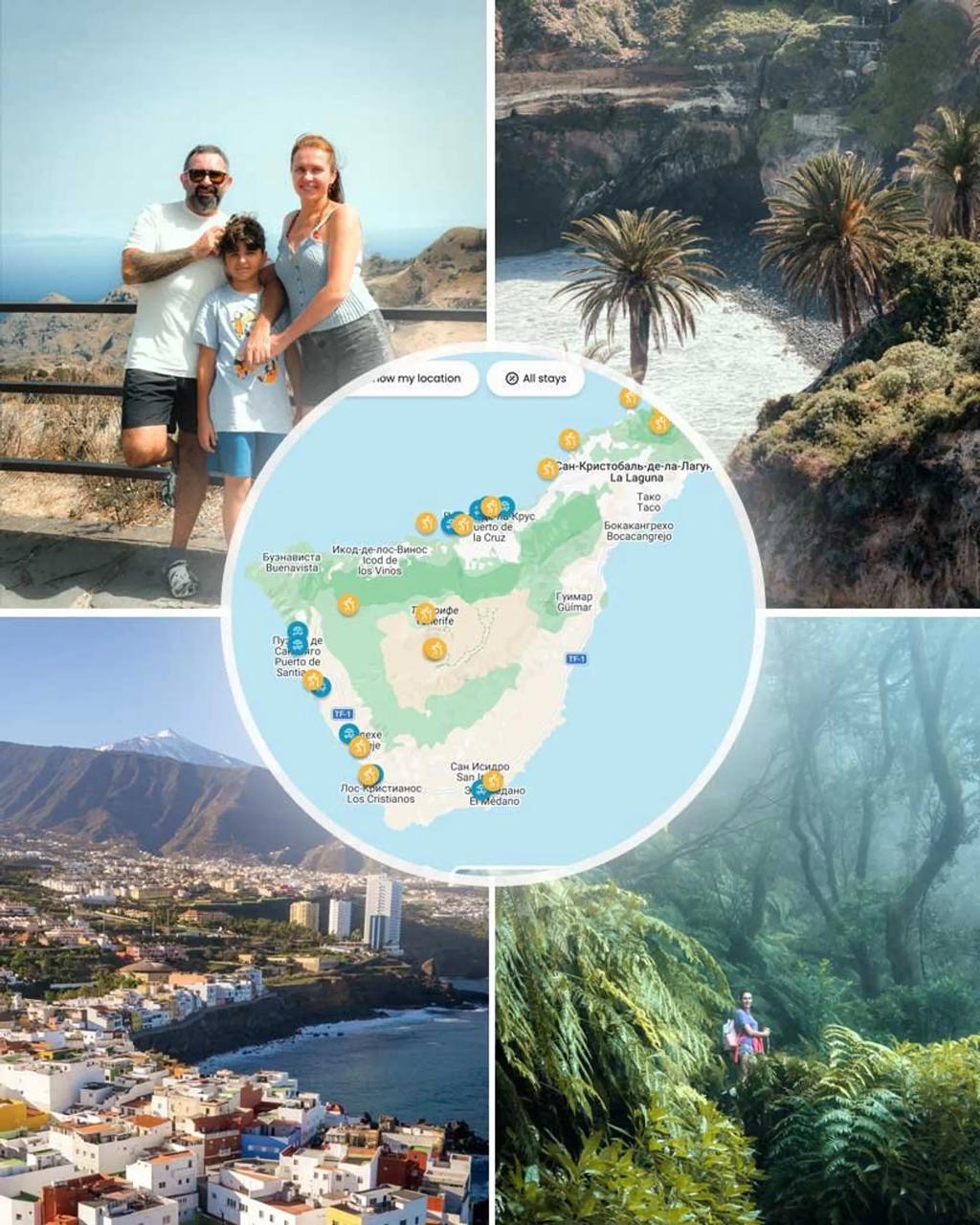
Explore Tenerife with Our Premium Guide
Save planning time with our personally tested locations, practical tips and an interactive map of Tenerife.
Many visitors associate Tenerife mainly with beaches and resorts. While that's true, the island reveals a completely different side to those who explore its hiking trails. They pass through the green gorges of Anaga, the moon-like terrain around Teide, and lead to secluded black-sand beaches accessible only on foot.
Spring is an especially good season for hiking in Tenerife, with milder temperatures and more colour on many trails, but hiking is possible year-round depending on the route and weather. Popular places such as Teide and Roques de García can get busy, so an early start is often worthwhile.
Use the Google map to explore the key locations and scenic spots along every hiking route.
We've compiled 12 routes of varying difficulty, including easy coastal walks, multi-hour trails through mountain villages, volcanic loops, and serious high-altitude hikes. Each offers its own unique perspective on Tenerife's outdoor activities and is well worth your time.
You can reach most trails by TITSA bus, but if you want to head out early in the morning, catch the sunset, or simply have more freedom, we recommend renting a car. On Discover Cars, you can compare rental prices and find the best deal.
Compare car rental prices on Discover Cars
Compare rental options for reaching Tenerife's trailheads.
Affiliate disclosure: we may earn a commission at no extra cost to you.
1. Rambla de Castro
Los Realejos · North Tenerife Coastal Hike · Mirador de la Gordejuela · Playa de Castro
Start point: Start of the Rambla de Castro Trail
Route: AllTrails
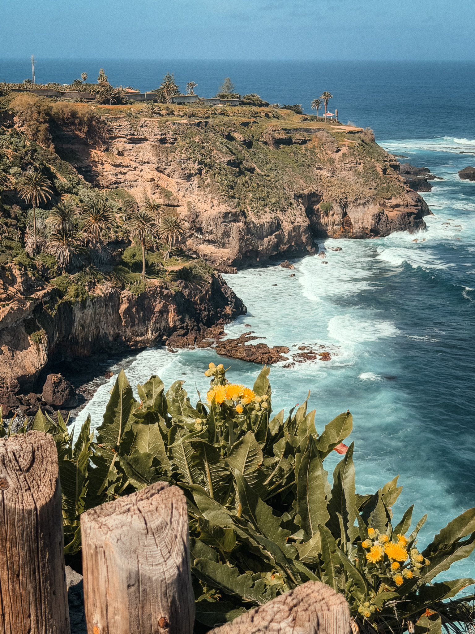
This is a moderate out-and-back route of about 8 km, with around 457 m of elevation gain and a walking time of roughly 3 hours along the island's northern coast.
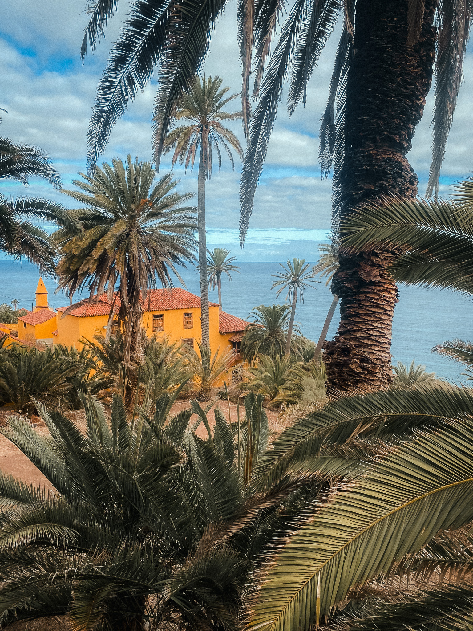
The Rambla de Castro trail impresses from the very beginning and is considered one of the best coastal walks in Tenerife. From the start, you'll enjoy views of the Atlantic, lush banana plantations, and palm groves.
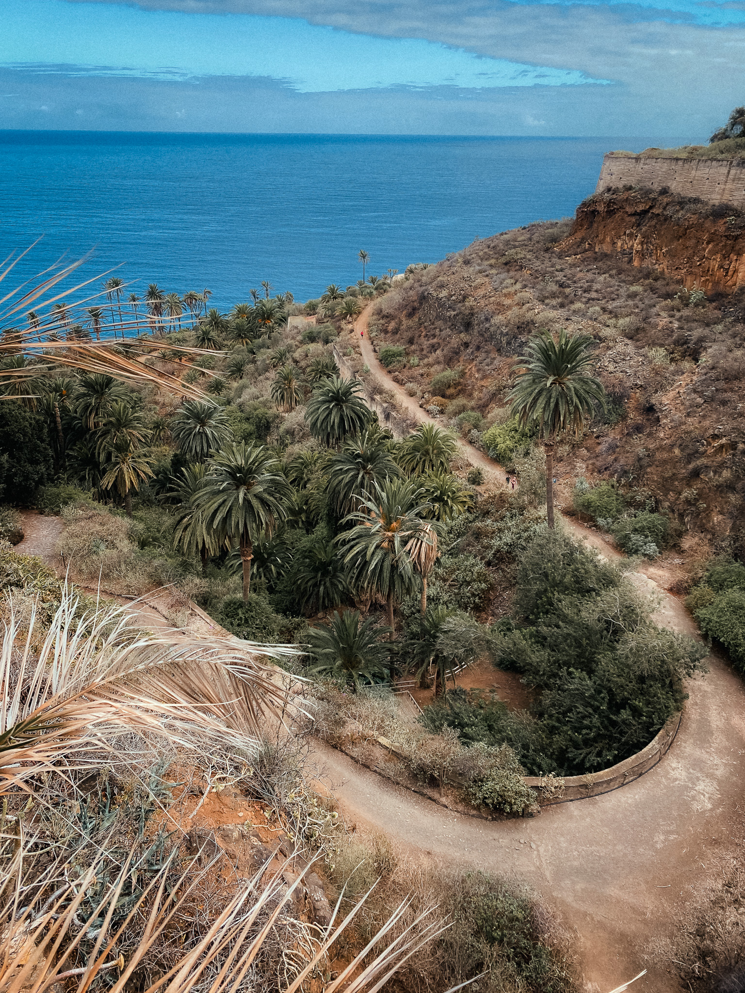
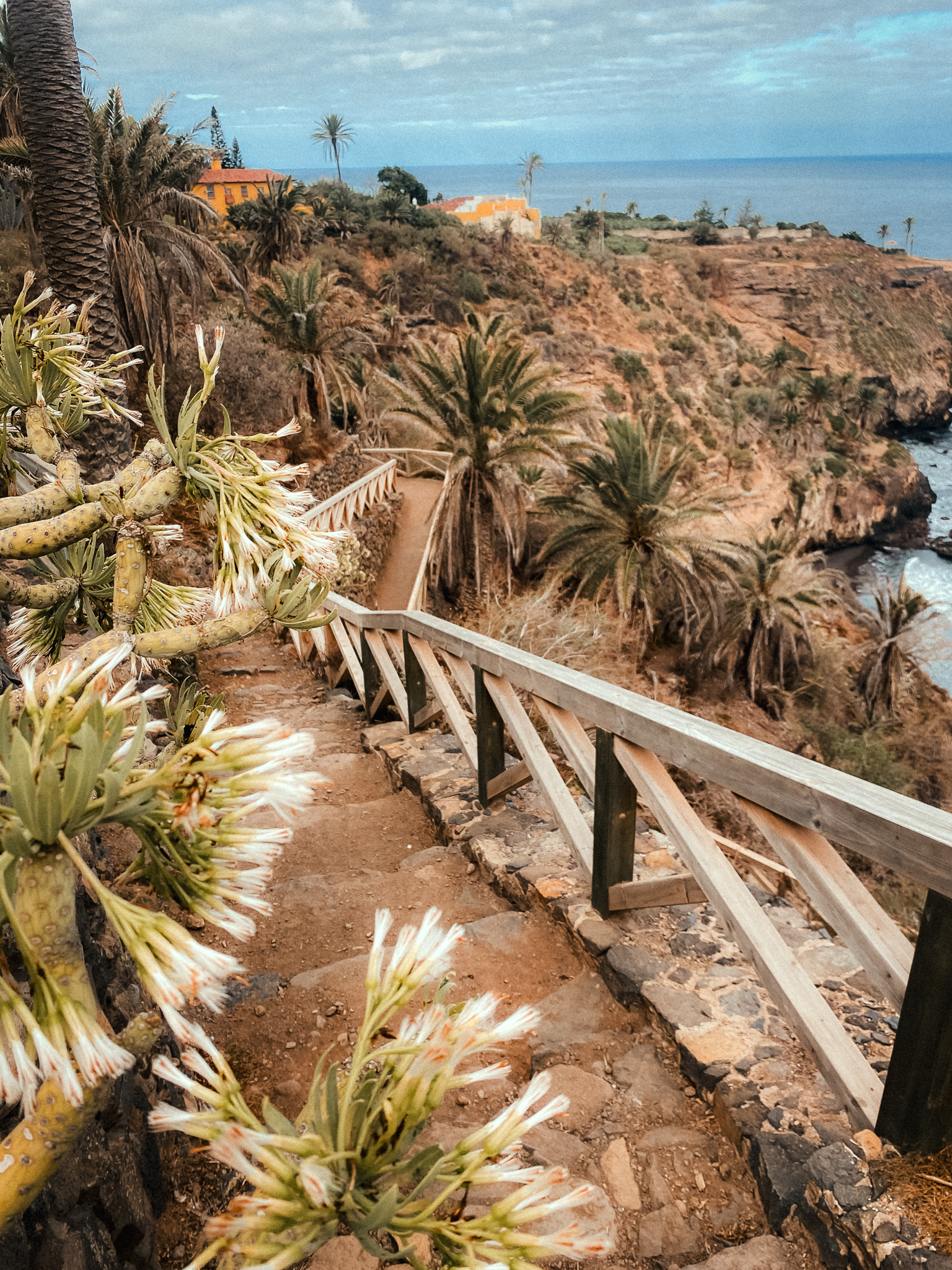
One of the main highlights along the route is the ruins of the Elevador de Aguas de Gordejuela. Built in 1903, it was the island's first steam pumping station, used to pump water up to the banana plantations.
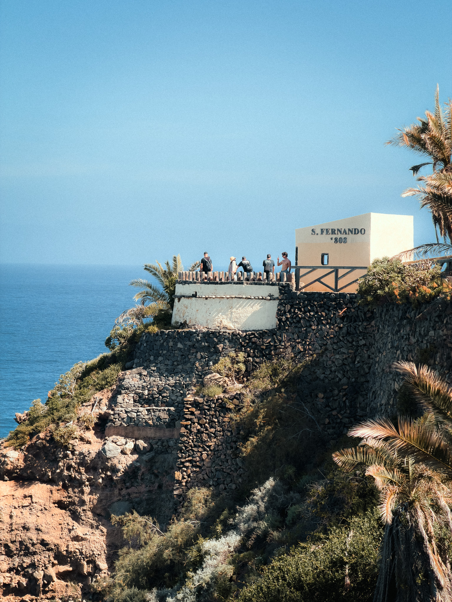
The route then passes several other historic sites, including the Hacienda de Castro (the ruins of a 16th-century estate) and San Fernando Fort, built to protect the coast from pirate raids. All of this is set against the backdrop of the ocean, plantations, and stunning views.
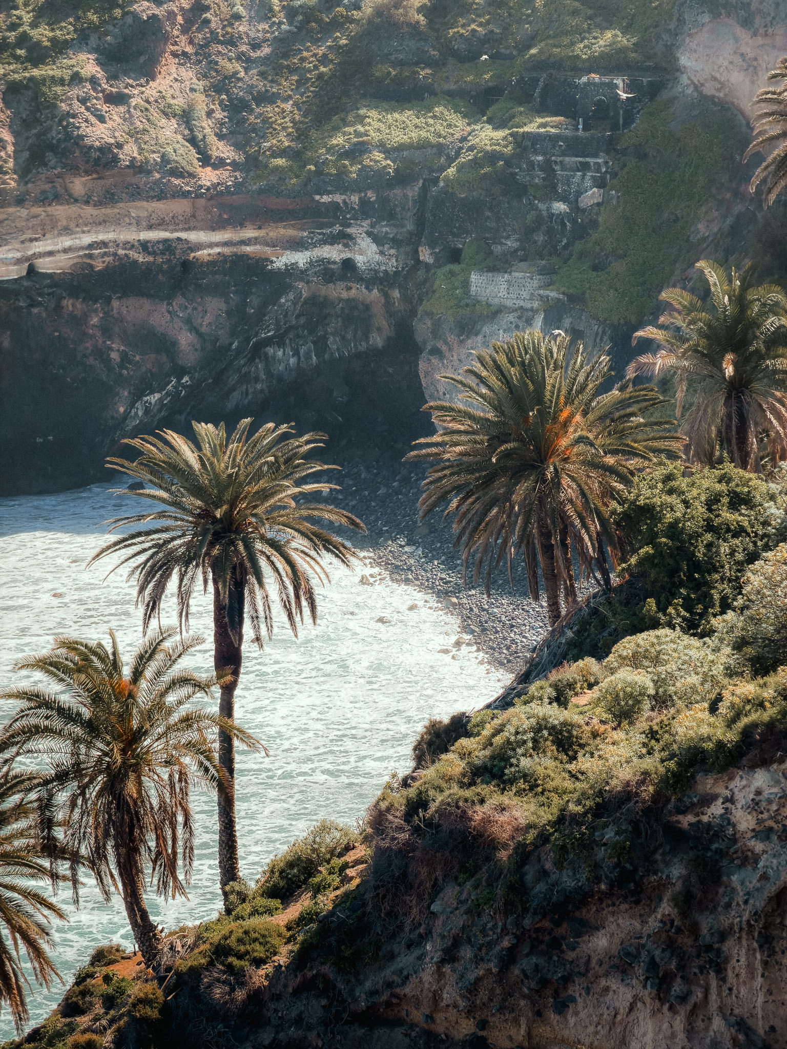
The trail passes Playa de Castro, a small black-sand bay surrounded by cliffs and palm trees, before continuing along the coast. On the AllTrails version linked above, you return along the same route.
Keep in mind that there are no restrooms or shops along the trail. We recommend heading out early in the morning, when it's least crowded.
2. Las Carboneras – Chinamada – Mirador Aguaide
Las Carboneras · Anaga Rural Park · PR-TF 10 · Cave Houses Hike
Start point: Las Carboneras
Route: AllTrails
This is a moderate 7.6 km circular trail through the Anaga Mountains, with around 350 m of elevation gain and an estimated walking time of about 2.5 hours.
Anaga Rural Park preserves extensive laurel forest and forms part of the Anaga Biosphere Reserve. This hike from Las Carboneras is one of the most rewarding ways to experience the mountains.
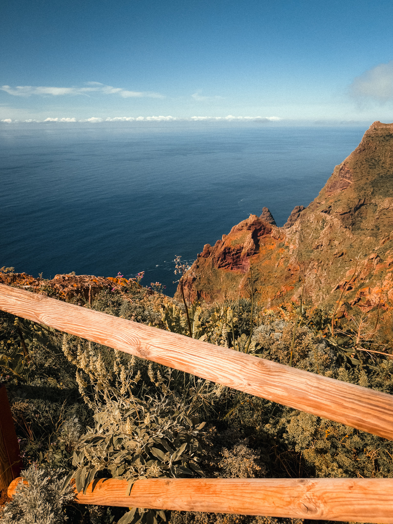
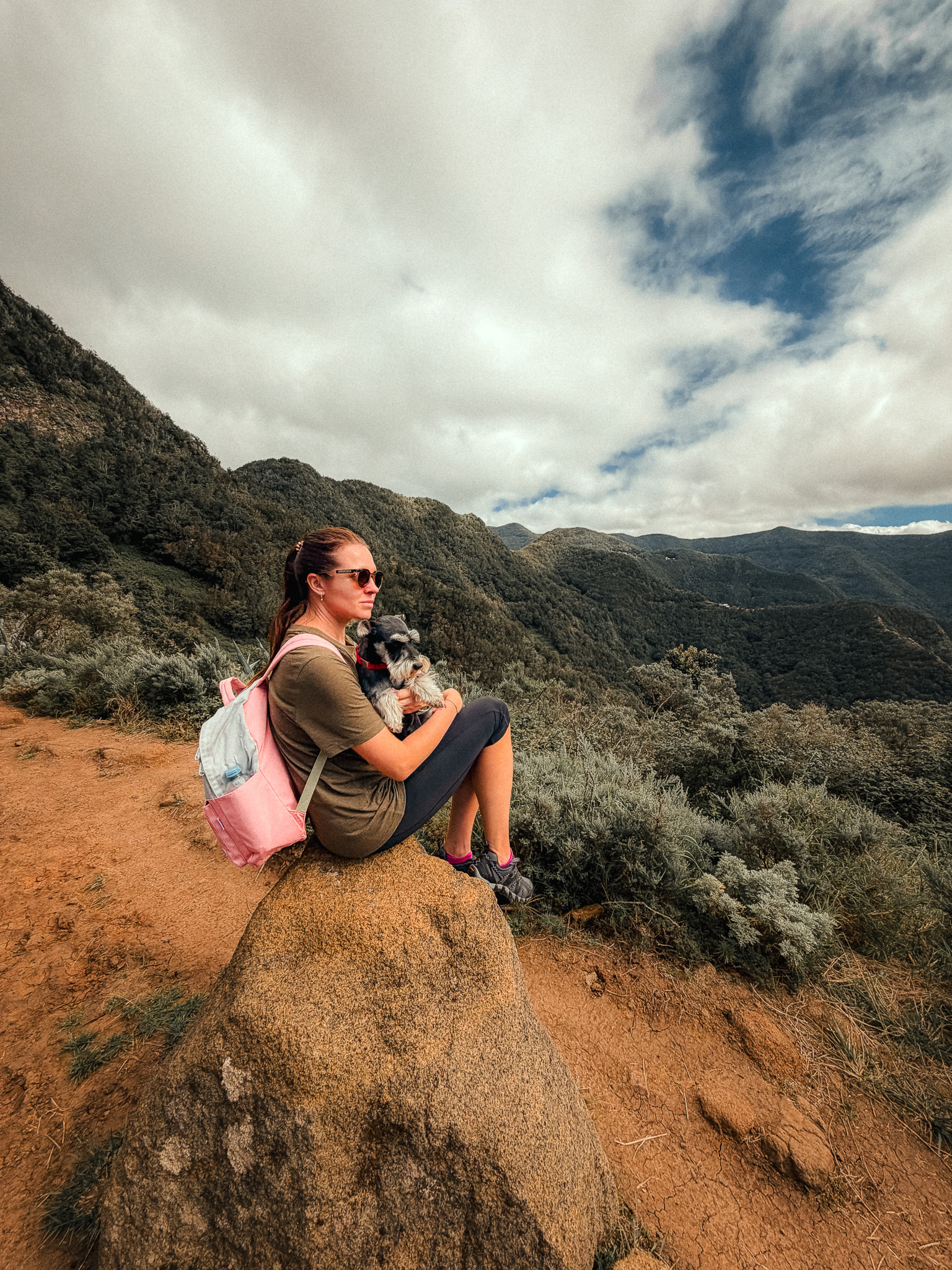
The route runs along ridges with views across the Anaga mountains. Along the way, you'll see lush green peaks, deep valleys and, quite often, mist moving through the landscape before reaching Chinamada.
In the village of Chinamada, some residents still live in traditional cave dwellings carved into the volcanic rock. Just 30-40 years ago, there was no electricity or road access here. Today, some houses have brick extensions, while others remain untouched. The San Ramon Nonato Chapel and Restaurante La Cueva are also well worth a visit.
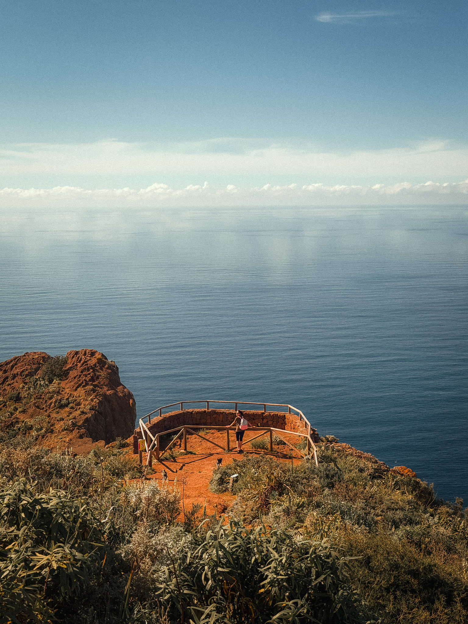
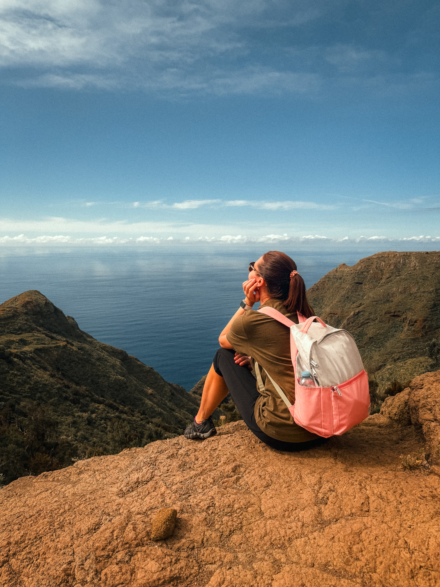
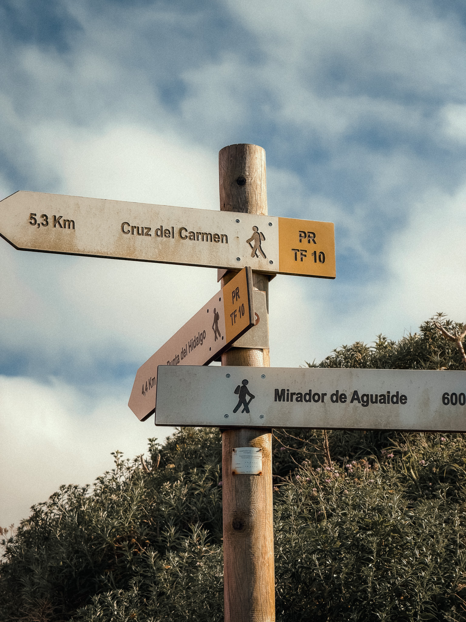
The trail then leads to Mirador Aguaide, a viewpoint high above the northern coast. The drop toward the Atlantic is dramatic, and when mist moves through the mountains the whole landscape becomes even more atmospheric.
The hike starts in Las Carboneras. Bring water and a light layer for changing weather; after the hike, you can head down toward Punta del Hidalgo and its natural pools.
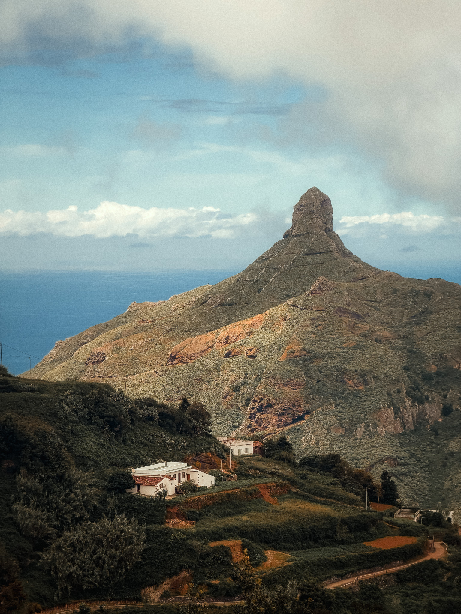
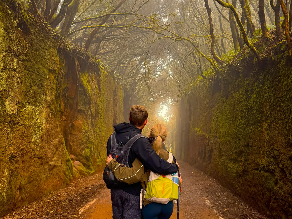
Anaga Mountains & Enchanted Forest Hiking Tour
A small-group guided hike through Anaga’s laurel forest, volcanic ridges and remote mountain scenery — ideal if you want the Anaga experience without planning the route yourself.
Affiliate disclosure: we may earn a commission at no extra cost to you.
3. Afur – Playa de Tamadite via PR-TF 8
Barranco de Afur · PR-TF 8 · Anaga Rural Park · Black Sand Beach Hike
Start point: Barranco De Afur
Route: AllTrails
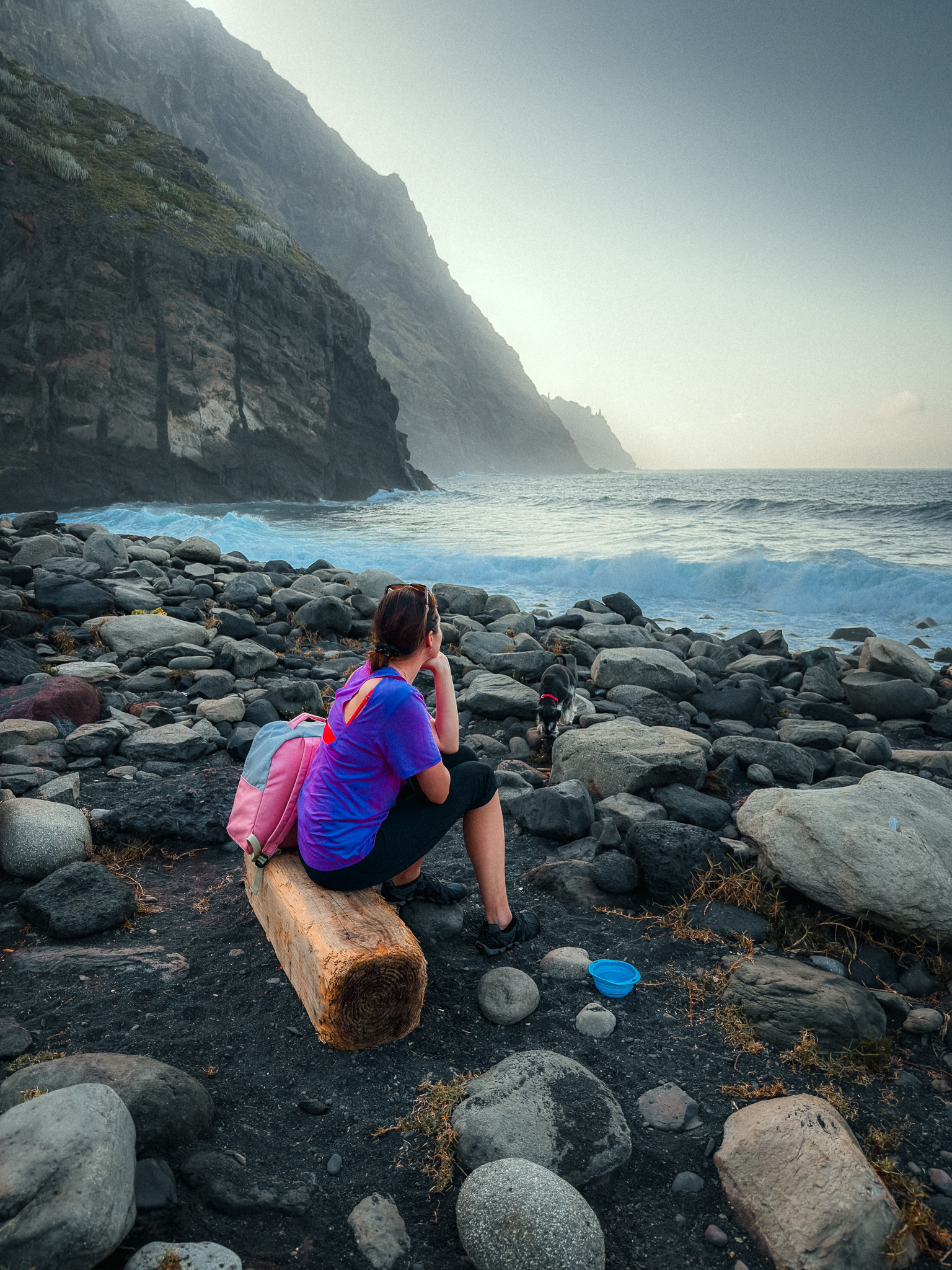
The AllTrails route linked below is a moderate out-and-back hike of about 5 km to Playa de Tamadite and back, usually taking around 1.5–2 hours. More experienced hikers can extend the day into a longer circuit through Anaga.
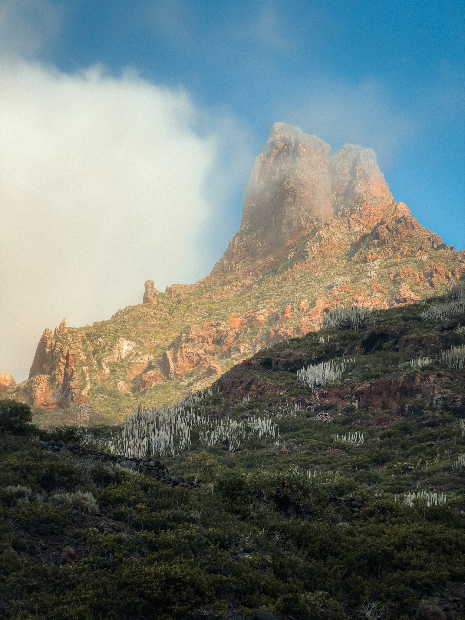
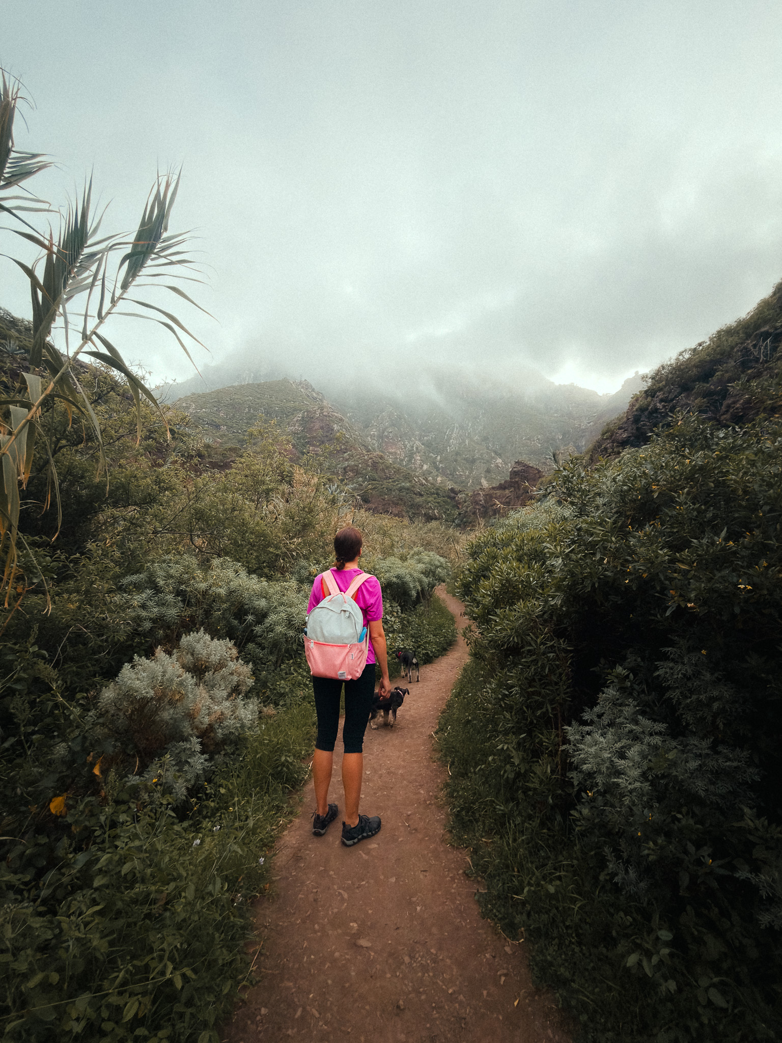
The trail passes through wild landscapes and the Barranco de Afur. In fact, this Anaga Rural Park trail is considered one of the most authentic on the entire island.
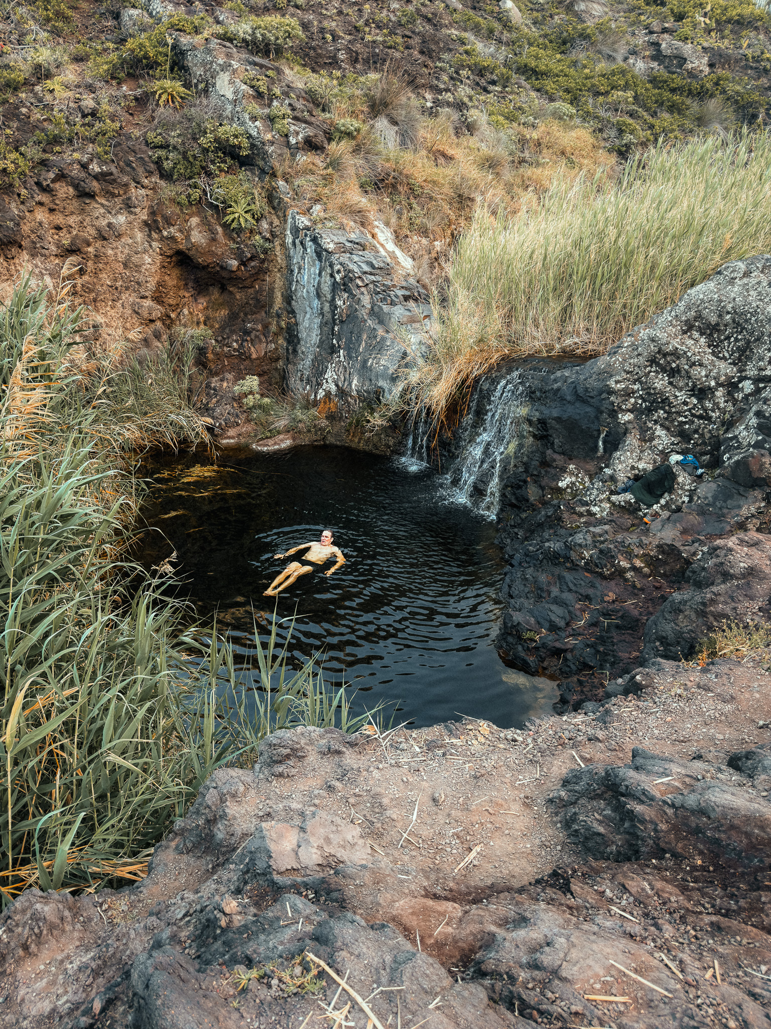
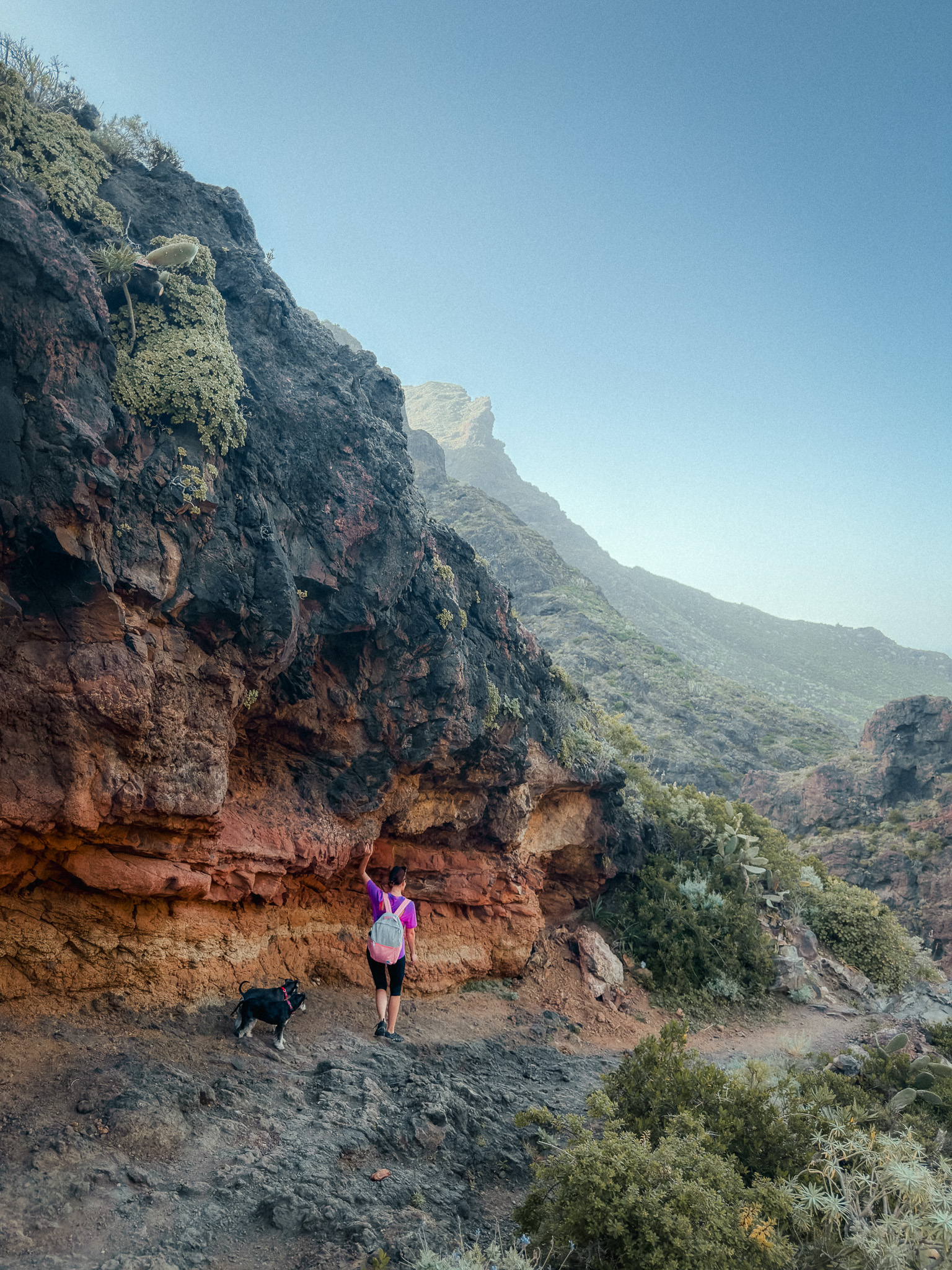
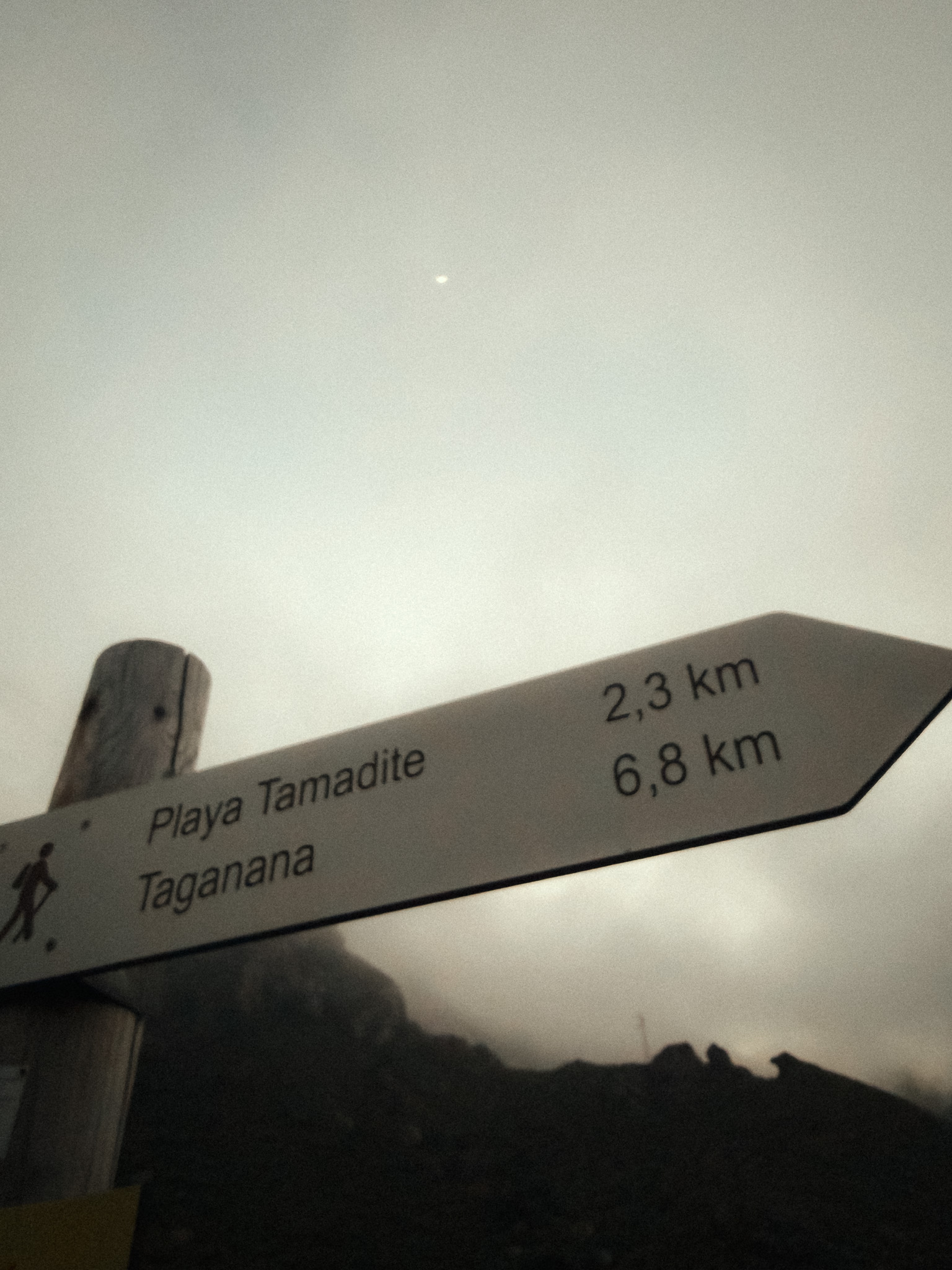
The PR-TF 8 trail begins in the village of Afur and descends through the ravine. Depending on recent rainfall, you may see water in parts of the barranco. After roughly 2.5 km, the trail reaches Tamadite Beach, a wild black-sand and pebble beach where the surf can be powerful, so it is best treated as a scenic stop rather than a swimming beach.
There are no facilities like umbrellas, bars, or showers here, but you can see the Roques de Anaga in the distance. If you're an experienced hiker, you can complete the full loop through Taganana and climb up to the village along the coastal cliffs.
Parts of the coastal route between Afur, Playa de Tamadite and Taganana have been affected by rockfall closures in the past. Check the current trail status on TenerifeON before setting out. Good hiking shoes with solid grip are essential, especially after rain.
Check current trail status on TenerifeON
4. Montaña Majúa
Teide National Park · PNT 19 Majúa · Volcanic Landscape Hike
Start point: Montaña Majúa
Route: AllTrails
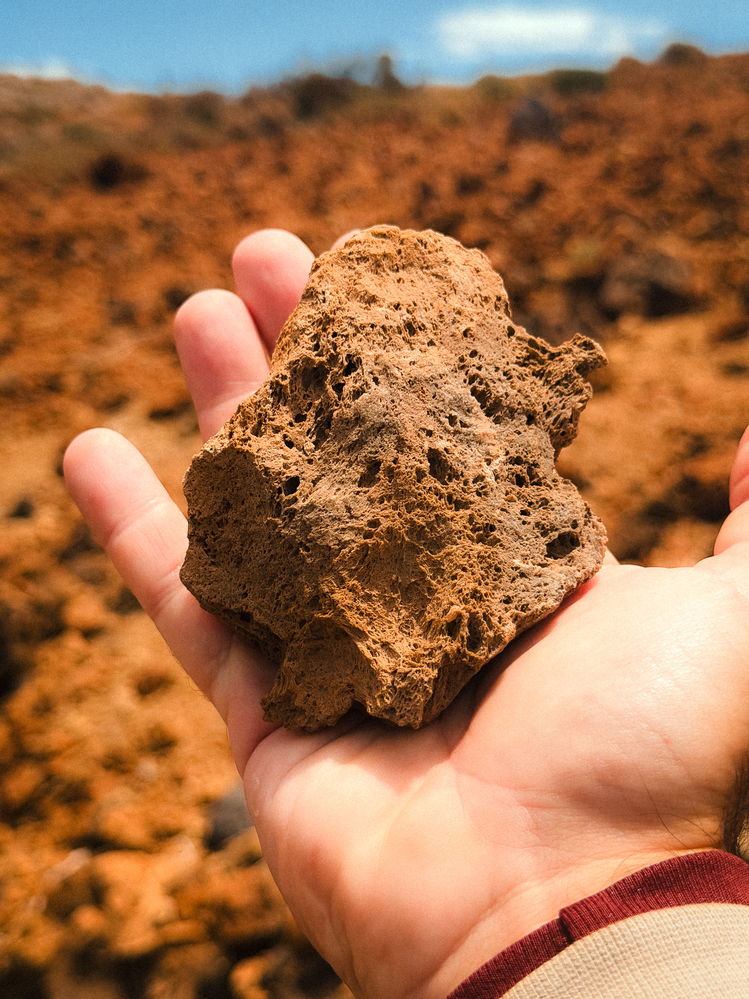
This easy-to-moderate high-altitude hike explores Montaña Majúa in Teide National Park. The official PNT 19 Majúa trail is a 4.2 km linear route that takes about 1.5 hours one way, running from the TF-21 at km 43.3 to Parador de Las Cañadas. If you follow the circular AllTrails version, allow more time for the full loop.
The trail begins near the cable car area and skirts the pumice cone of Montaña Majúa before crossing lava fields and the open volcanic landscape of Cañada Blanca. Aside from the wind, the landscape can feel almost lifeless, while the massive silhouette of Teide dominates the horizon. It is one of the most photogenic easy hikes in the national park.
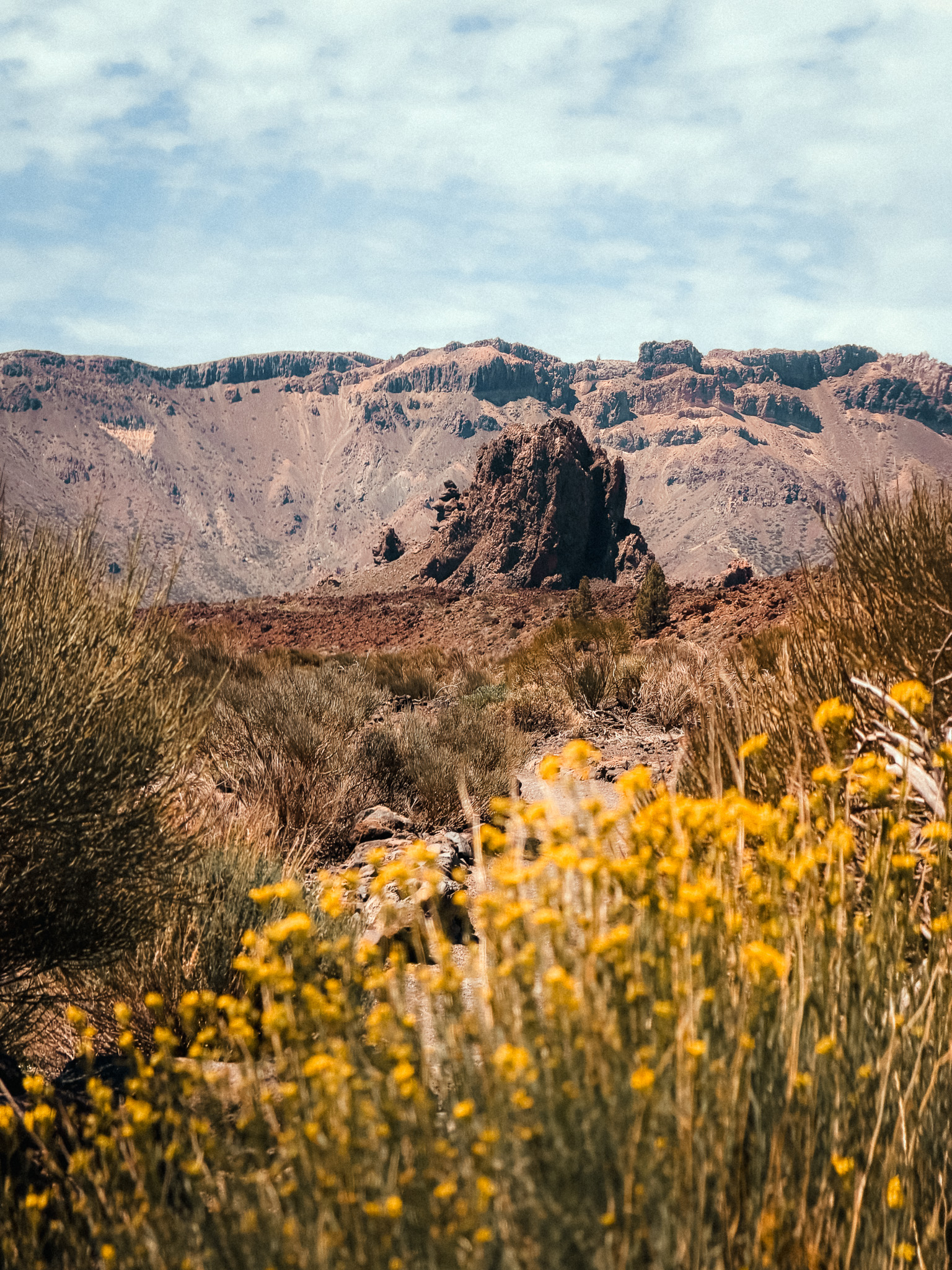
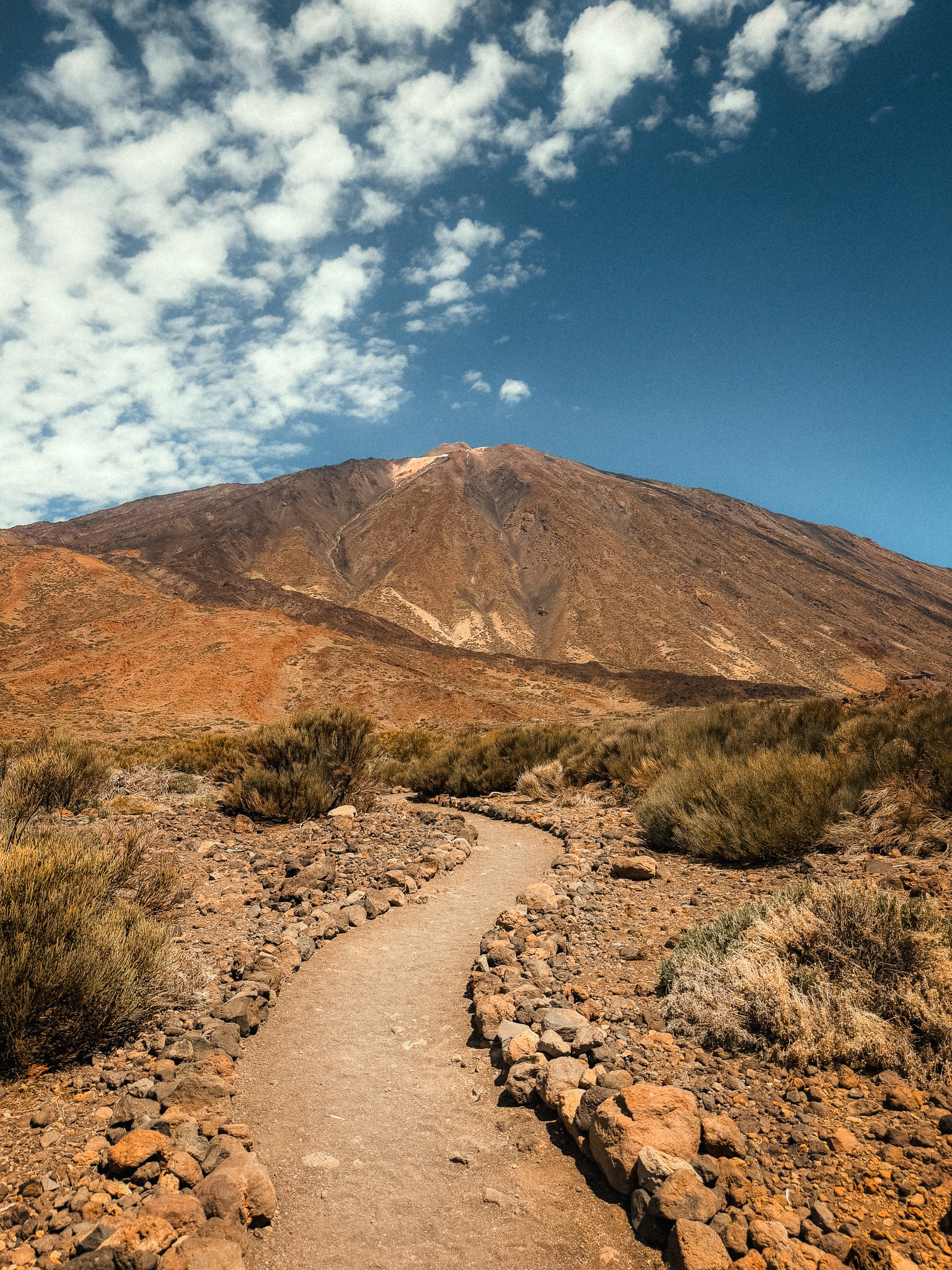
As you cross Cañada Blanca, the landscape becomes more colourful. Retamas (local broom shrubs), codesos, and other high-mountain plants grow between the volcanic terrain, with the strongest flowering usually in spring and early summer. On the official PNT 19 route, the trail finishes near Parador de Las Cañadas, while the circular AllTrails option continues via neighbouring trails before returning to the start.
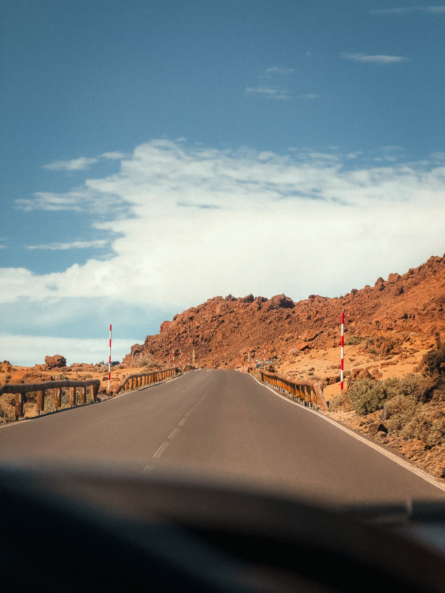
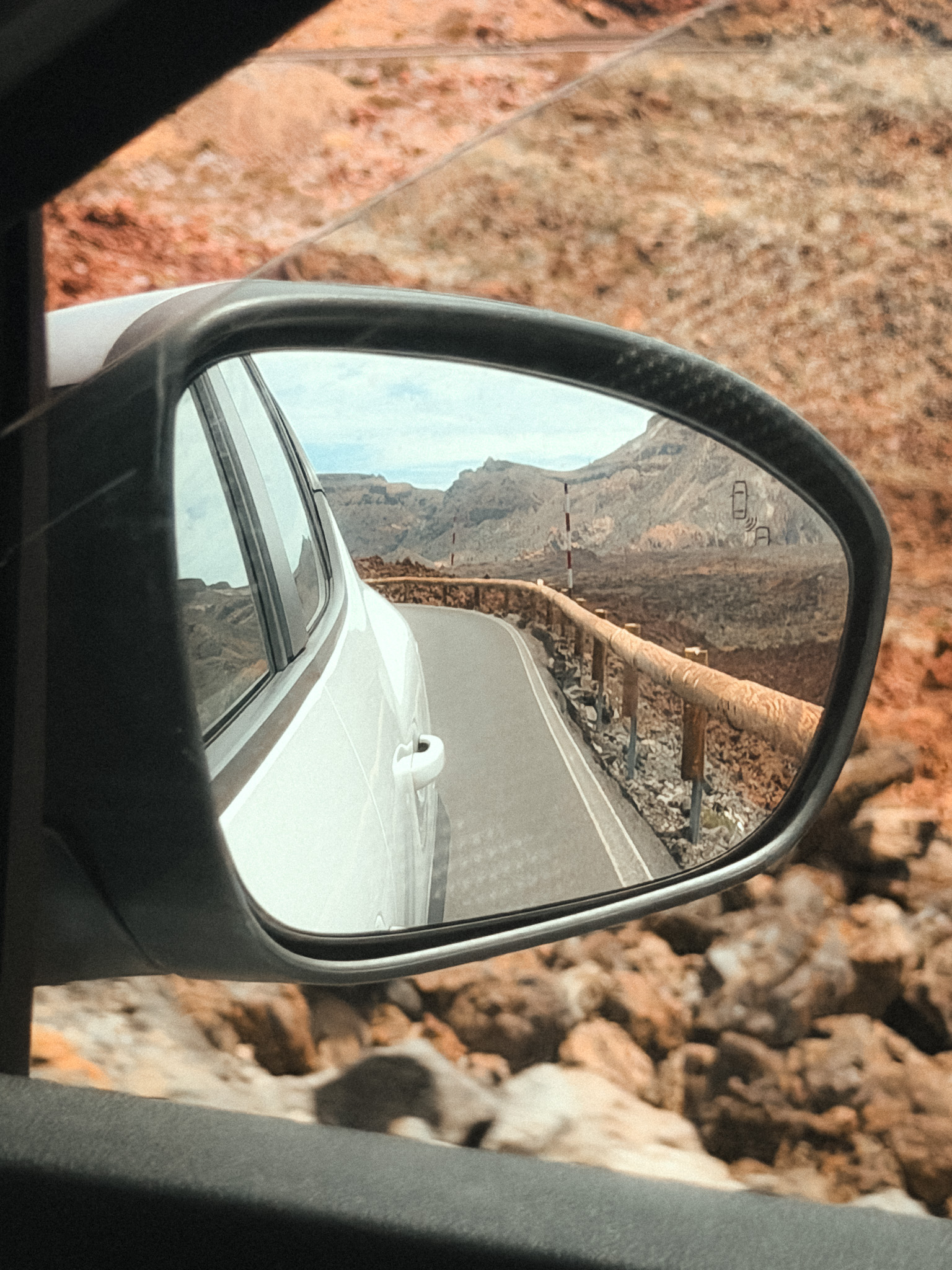
The most convenient start is near km 43.3 of the TF-21, close to the Teide cable car access. Be sure to bring SPF 50, a hat, and water. At more than 2,000 metres, temperatures and wind can change quickly even in summer, so bring a jacket as well.
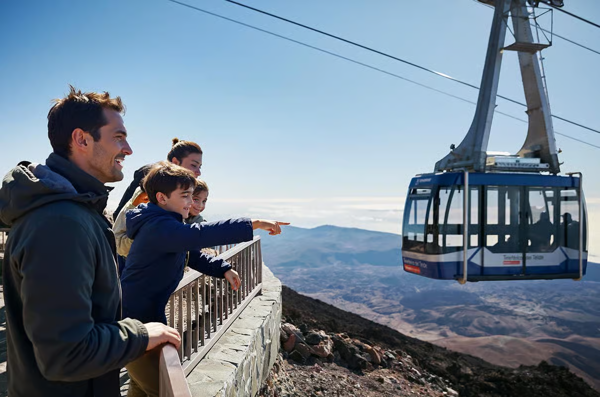
Mount Teide Tour with Cable Car Ticket & Transfer
A convenient option if you want high-altitude Teide scenery without organising parking or transport, with the cable car taking you up to 3,555 metres.
Affiliate disclosure: we may earn a commission at no extra cost to you.
5. El Sauzal – El Puertito – Rojas
Costa de Acentejo Protected Landscape · Moderate Coastal Hike · North Tenerife Nature Walk
Start point: Sendero La costa de las Breñas
Route: AllTrails
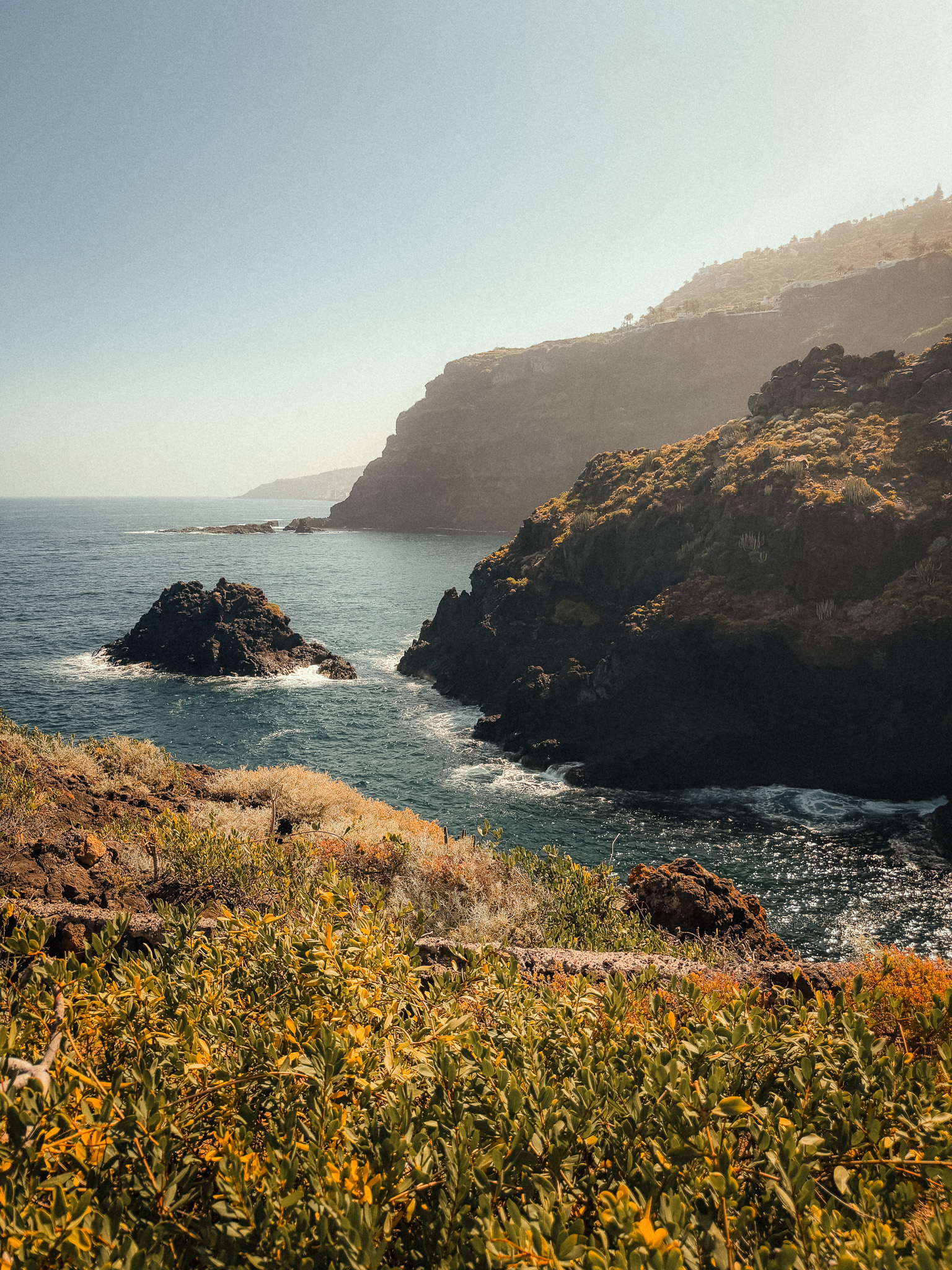
This is a moderate 5 km out-and-back route that usually takes around 1.5–2 hours, with about 240 m of elevation gain. The first half descends toward the coast, so remember that most of the climbing comes on the return.
The trail starts at Mirador de las Breñas, where you can even spot Mount Teide on a clear day. Along the way, you descend gently toward the coastline. One of Tenerife's rarest endemic plants, the Lotus maculatus (Pico de El Sauzal), grows along this route. This small flower with orange-red petals is unique to the island. It's details like these that distinguish this off-the-beaten-path trail from standard tourist routes.

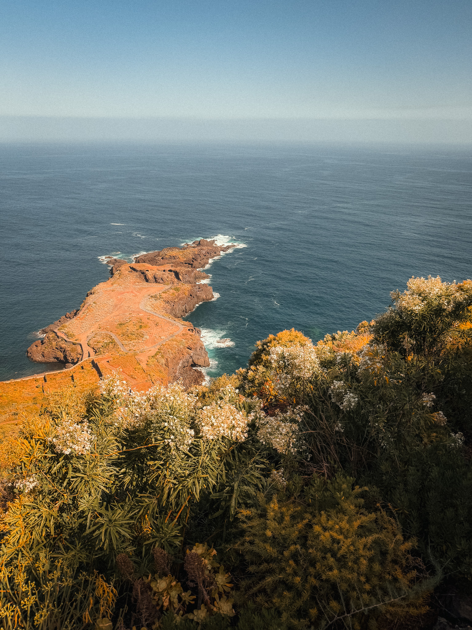
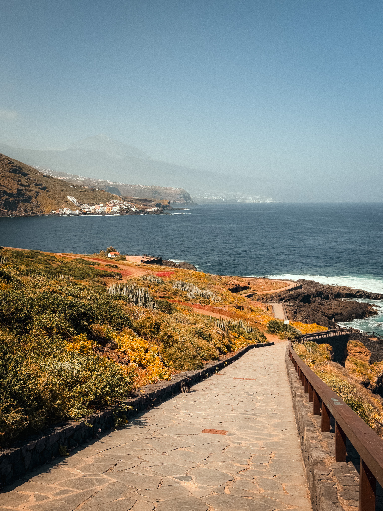
The end of the trail at Rojas offers a view of the Ermita de Rojas chapel, where you can enjoy a picnic right by the water. On the way back, you can stop by the Casa del Vino Museum in El Sauzal.
Park near Mirador de las Breñas and bring water and sun protection. Late-afternoon light can be especially beautiful here, but leave enough daylight for the uphill return.
6. Callejón de Teno – Cumbre de Baracán
Teno Rural Park · El Palmar · Cumbre de Baracán · Northwest Tenerife Hiking Trail
Start point: Callejón de Teno
Route: AllTrails
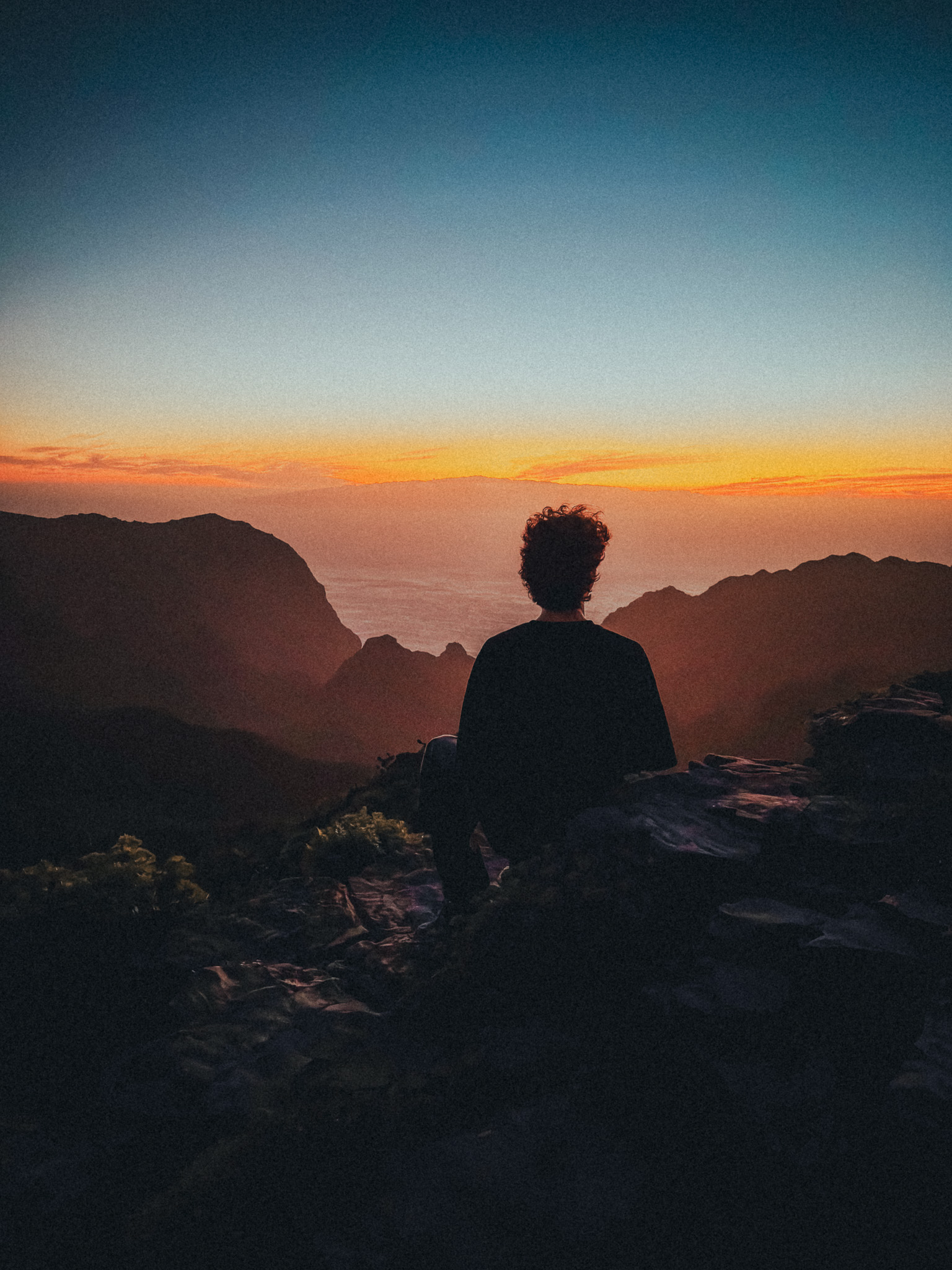
This circular route is about 10 km long with roughly 580 m of elevation gain. AllTrails rates it moderate, but the rocky and exposed ridge sections can feel more serious, especially in wind or mist.
Teno Rural Park often goes unnoticed by tourists, and that’s too bad. It boasts a rugged landscape unlike the rest of Tenerife. Hiking here is the perfect choice for those who want to see a different side of the island.
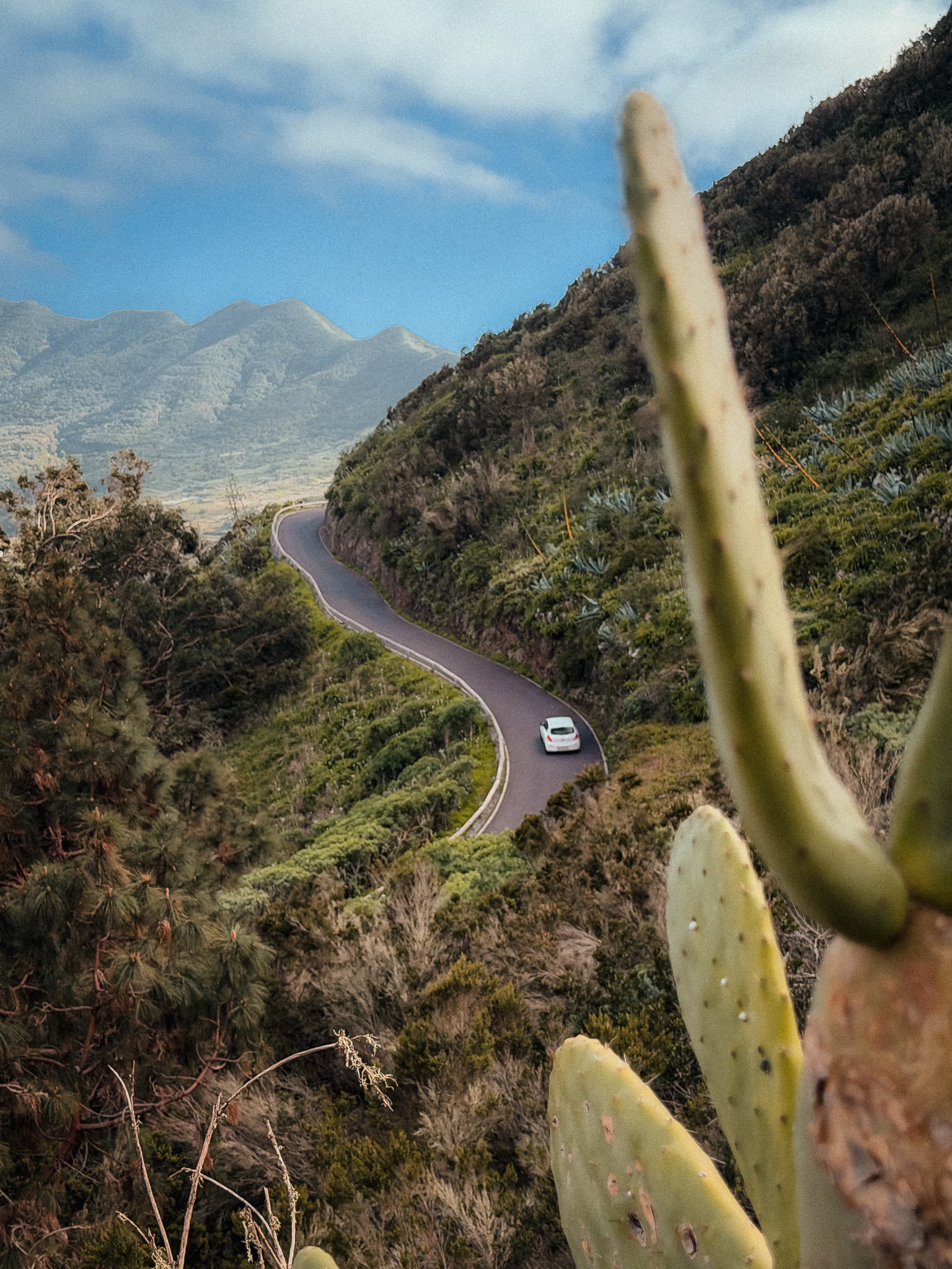
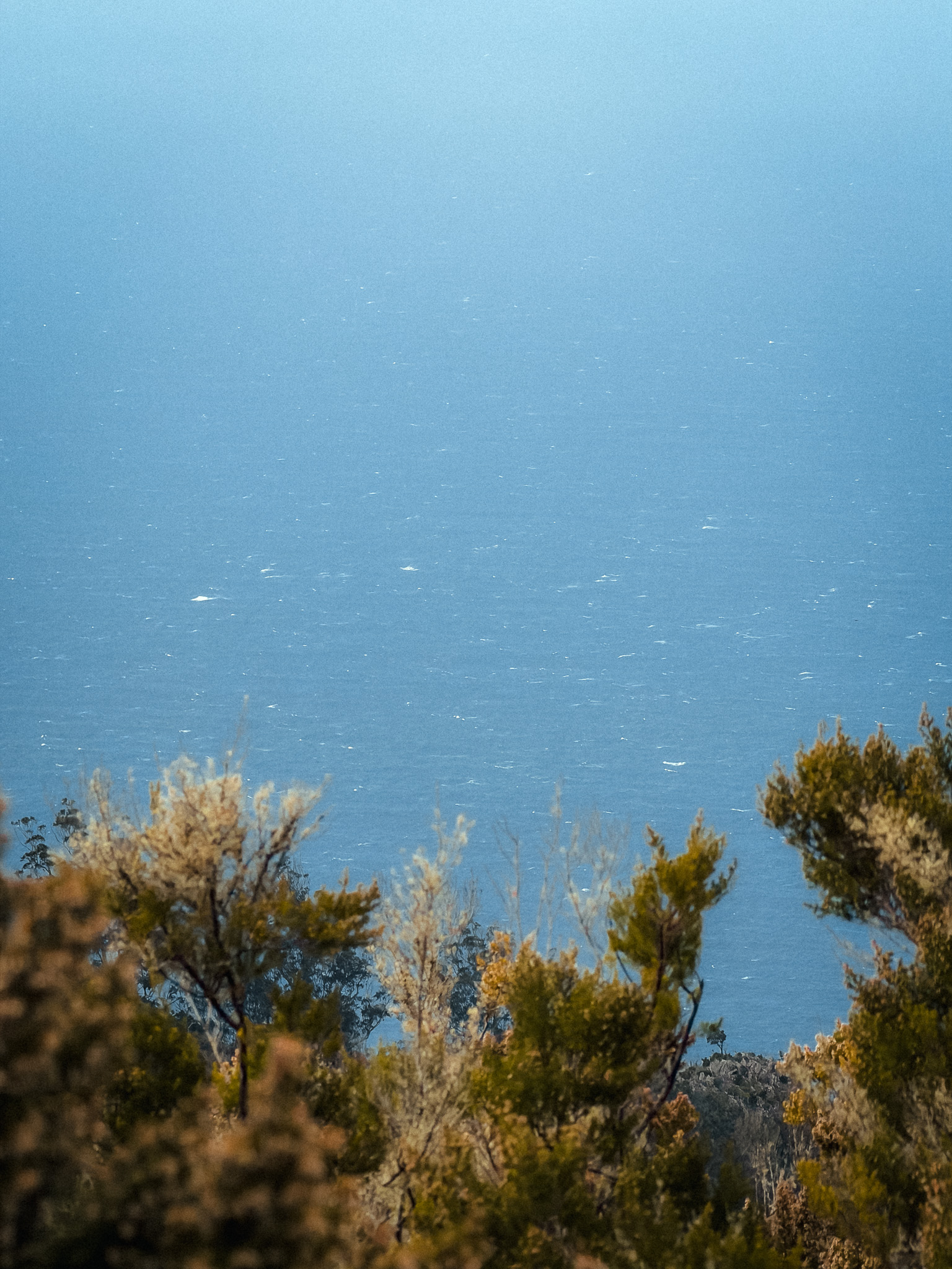
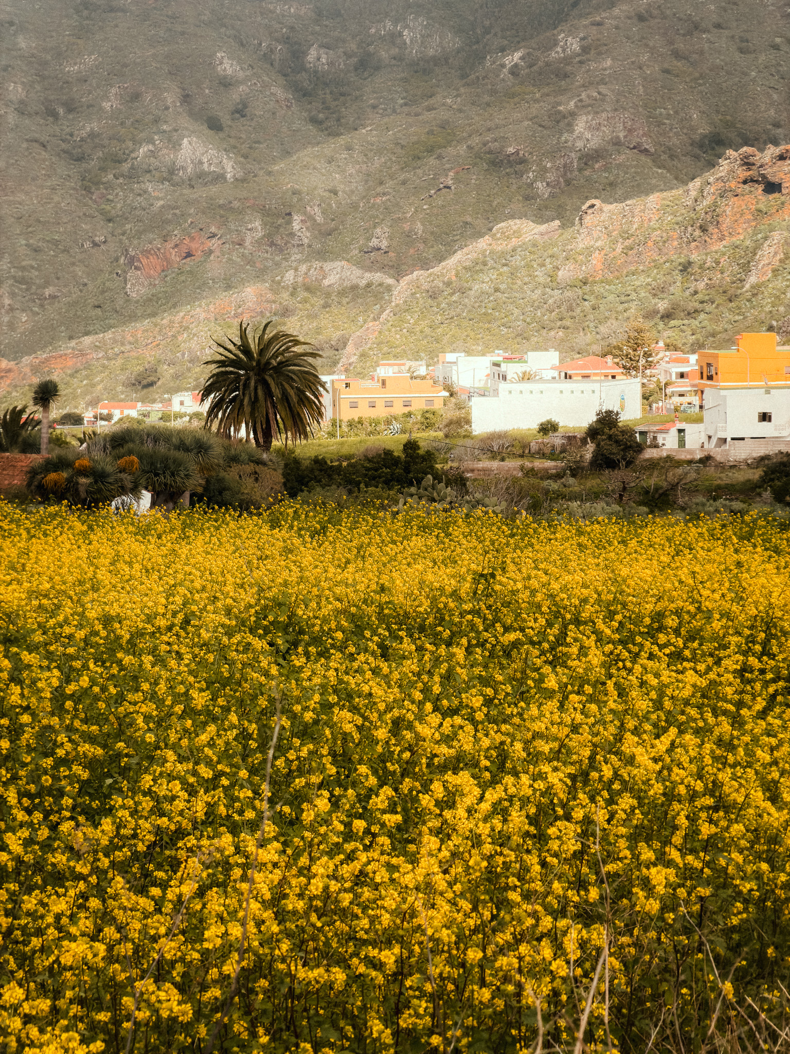
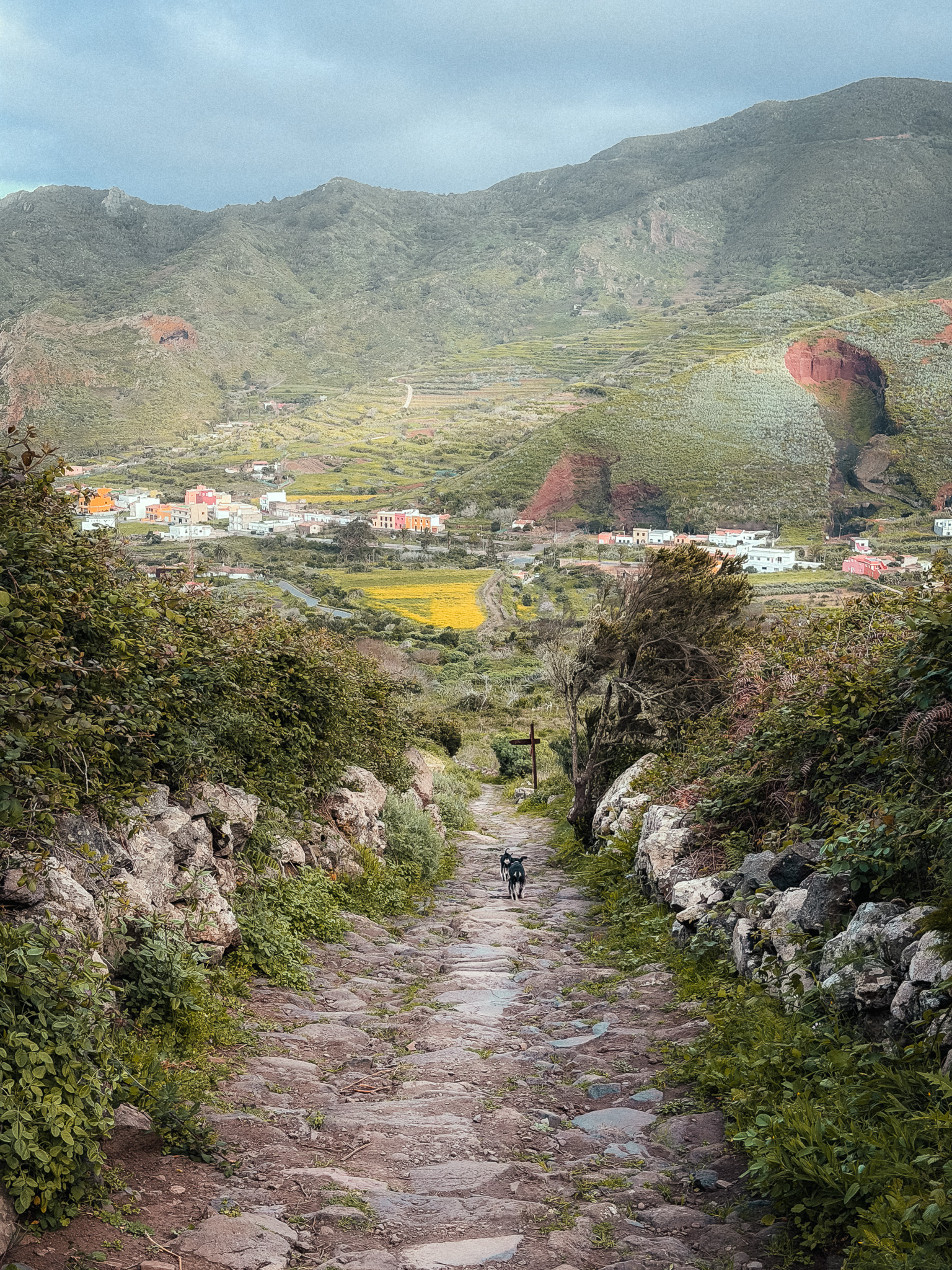
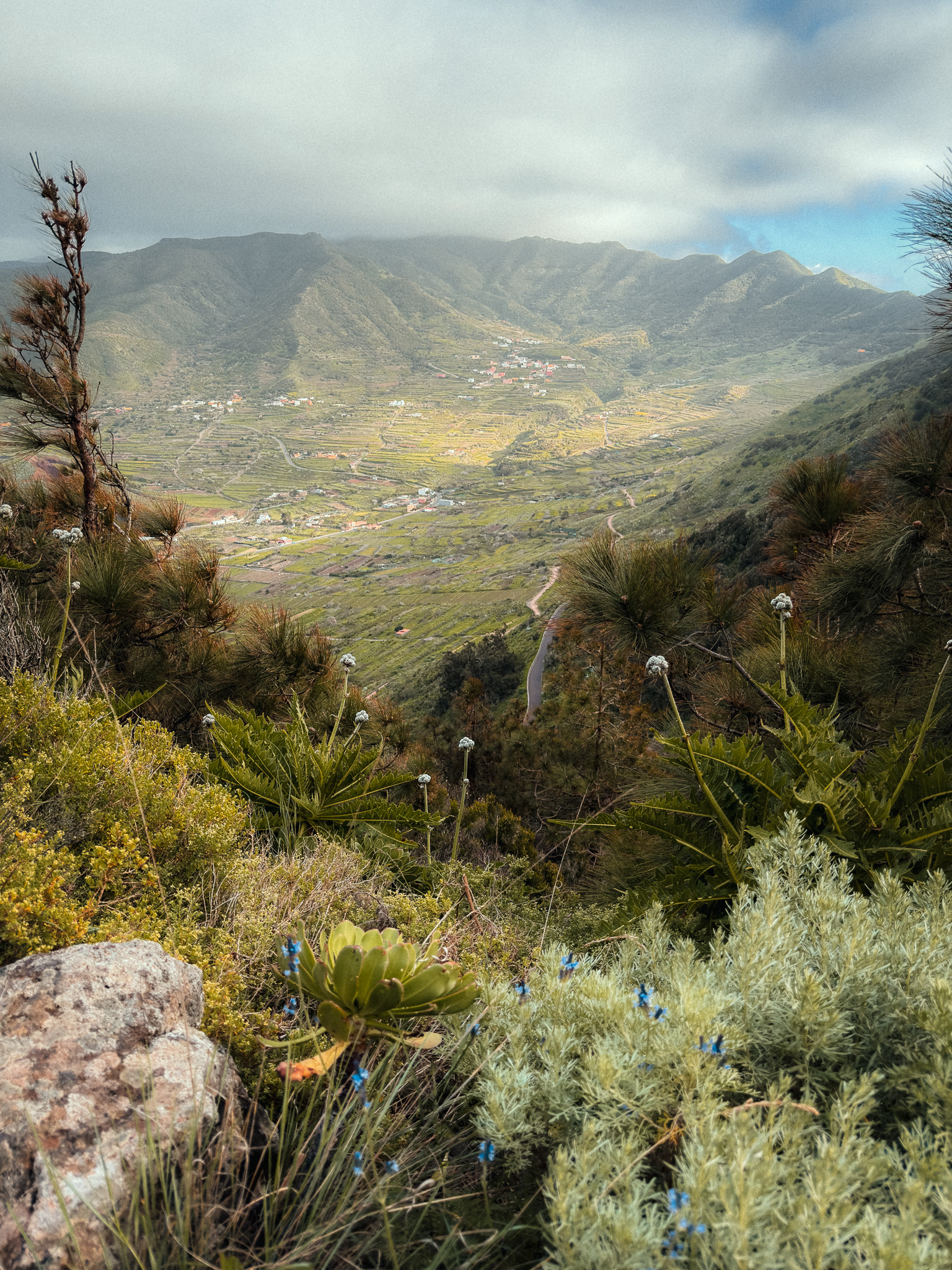
The route begins near El Palmar and climbs through Callejón de Teno. The first section is rocky and fairly steep, with beautiful views back over El Palmar Valley, vineyards, and the rugged volcanic landscape of Teno.
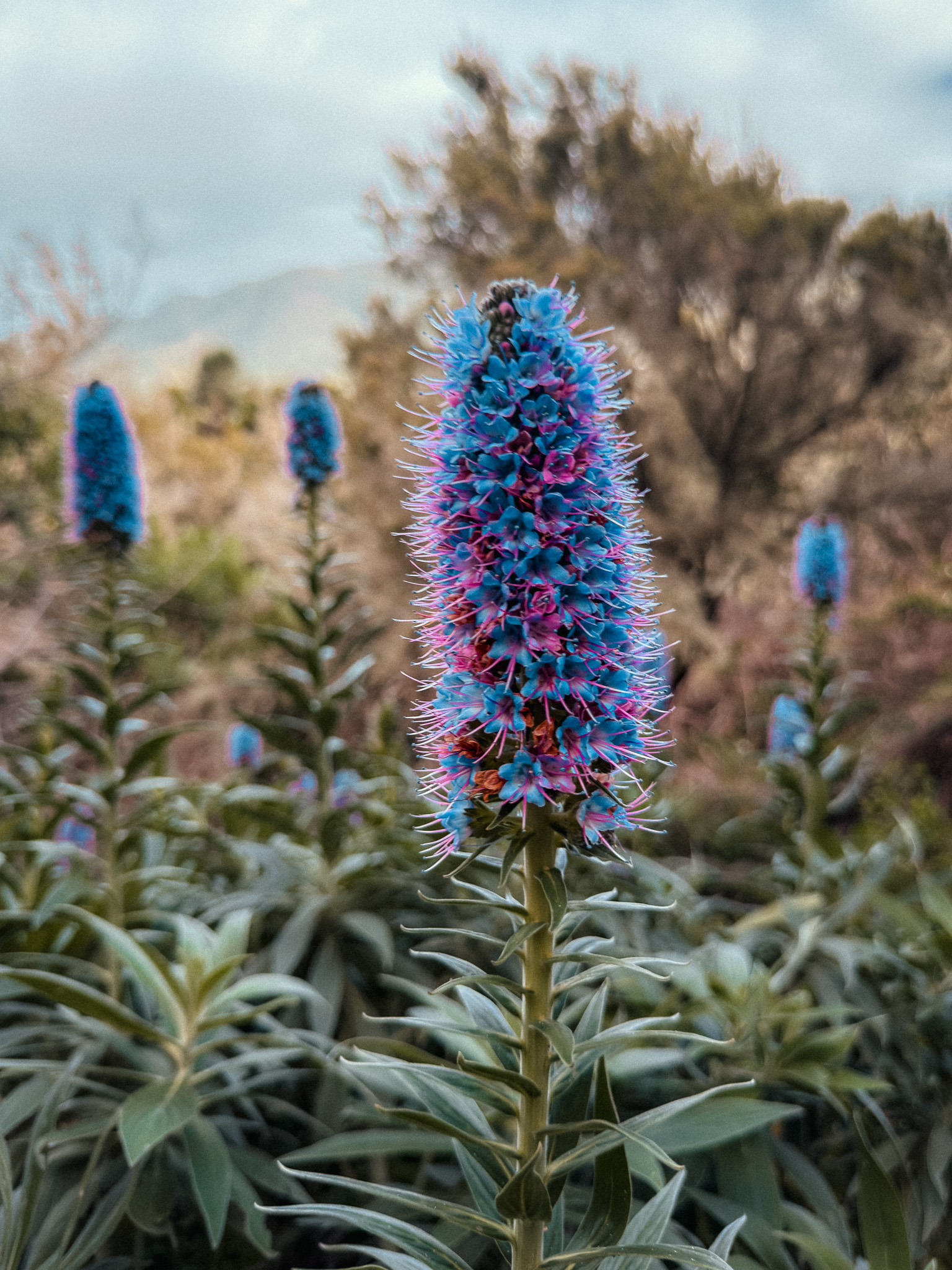
From there, the circuit continues toward Teno Alto and Cumbre de Baracán, crossing areas of heath and laurel forest before reaching the high ridge. On clear sections you can see Teide in the distance; when clouds move in, the atmosphere changes completely.
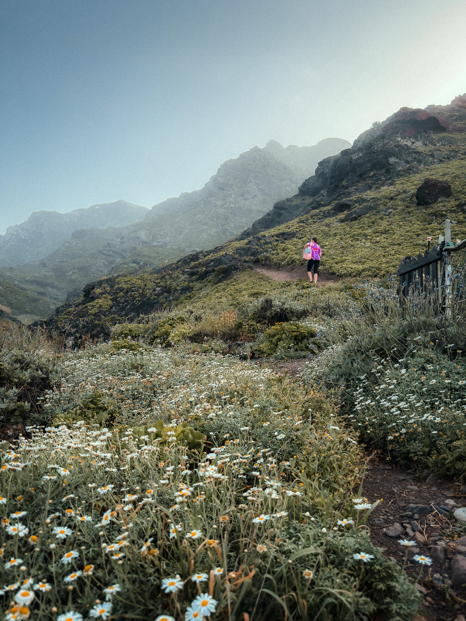
Cumbre de Baracán is the highlight of the route. Clouds and mist often move directly across the crest, and when they open you get wide views across the valleys, mountains, and Atlantic. Some sections are rocky and exposed, with significant elevation changes.
The route starts near Los Pedregales and El Palmar. There is a bar and a small shop in Teno Alto, but you should still carry enough water and snacks. Check TenerifeON before setting out, as temporary access restrictions can affect trails in Teno.
Check current trail status on TenerifeON
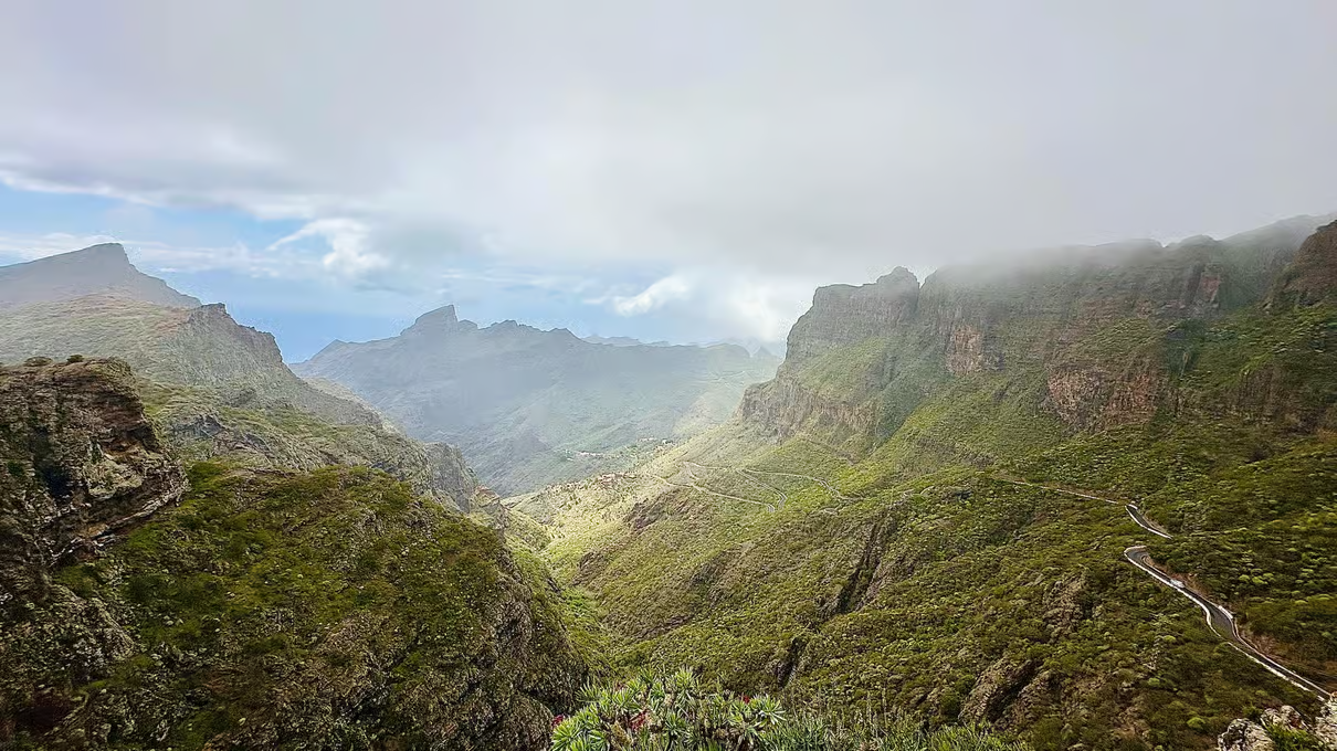
Teno Waterfalls Hiking Tour: Tropical Jungle Adventure
A 7.2 km guided hike through Teno with around 350 m of elevation gain, passing banana, avocado and citrus plantations before reaching lush forest, waterfalls and natural pools. Pickup and trekking poles are included.
Affiliate disclosure: we may earn a commission at no extra cost to you.
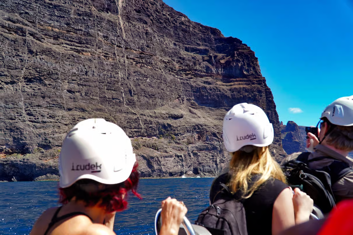
Barranco de Masca Guided Trekking + Cruise
If you want another dramatic hike in western Tenerife, this guided Masca Gorge trek combines the ravine with transport and a boat connection.
7. Roques de García
Teide National Park · Iconic Rock Formations · Volcanic Hike
Start point: Sendero Roques de García
Route: AllTrails
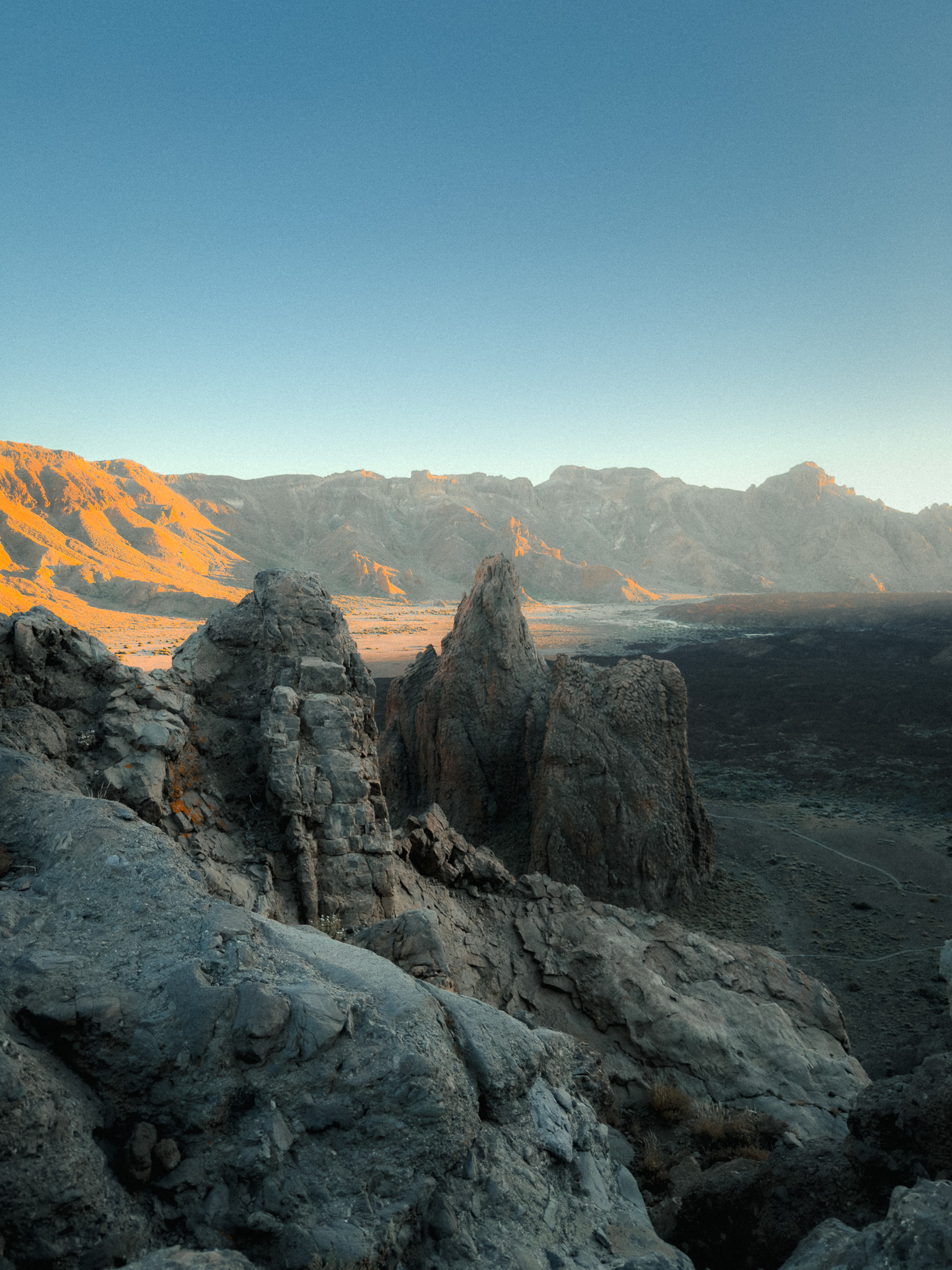
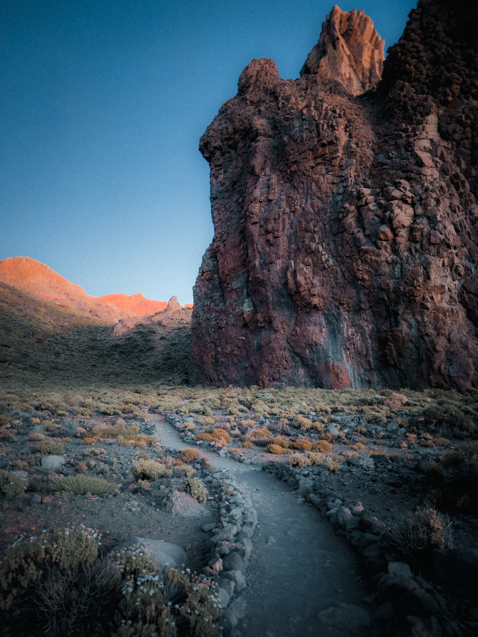
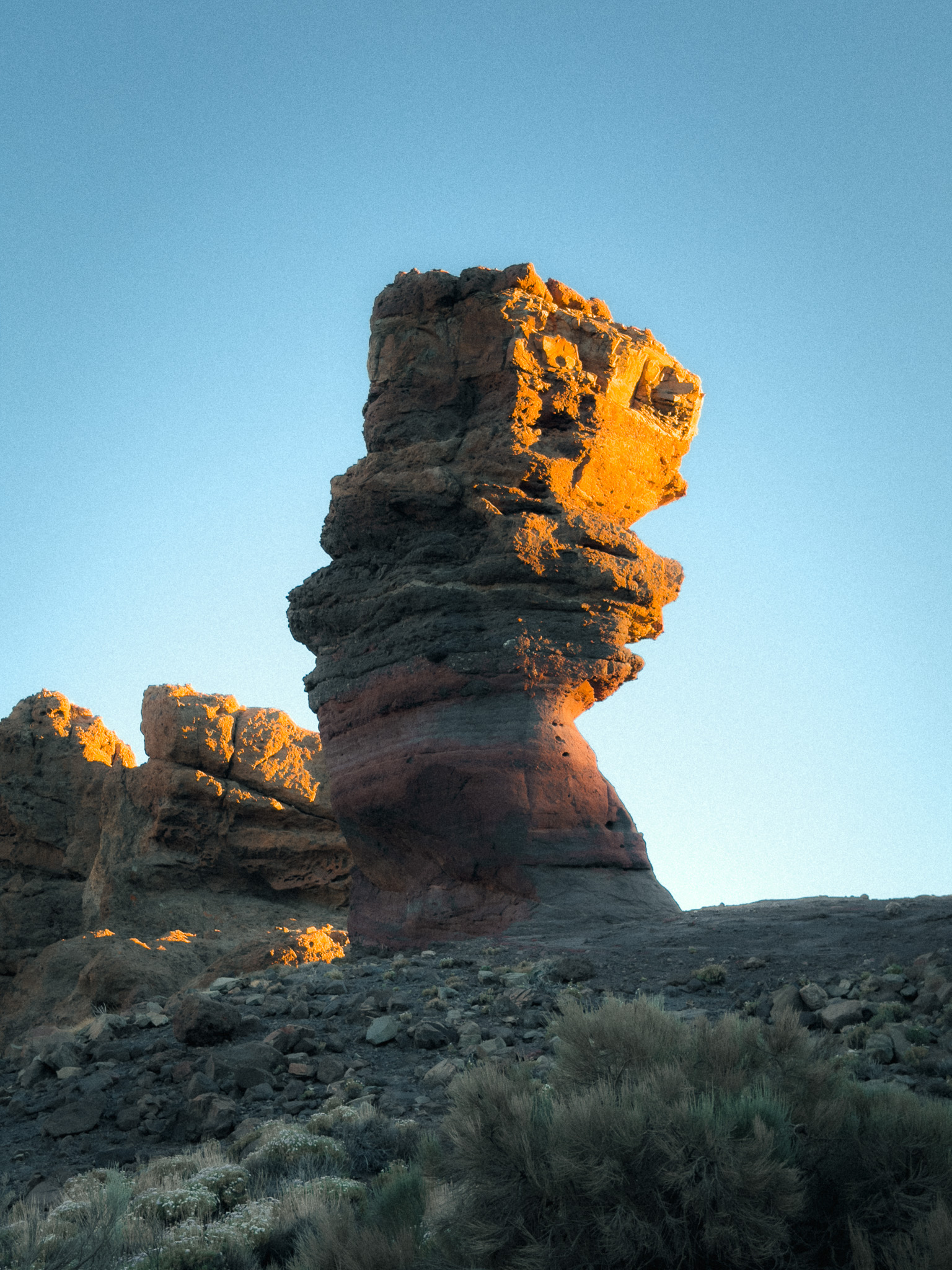
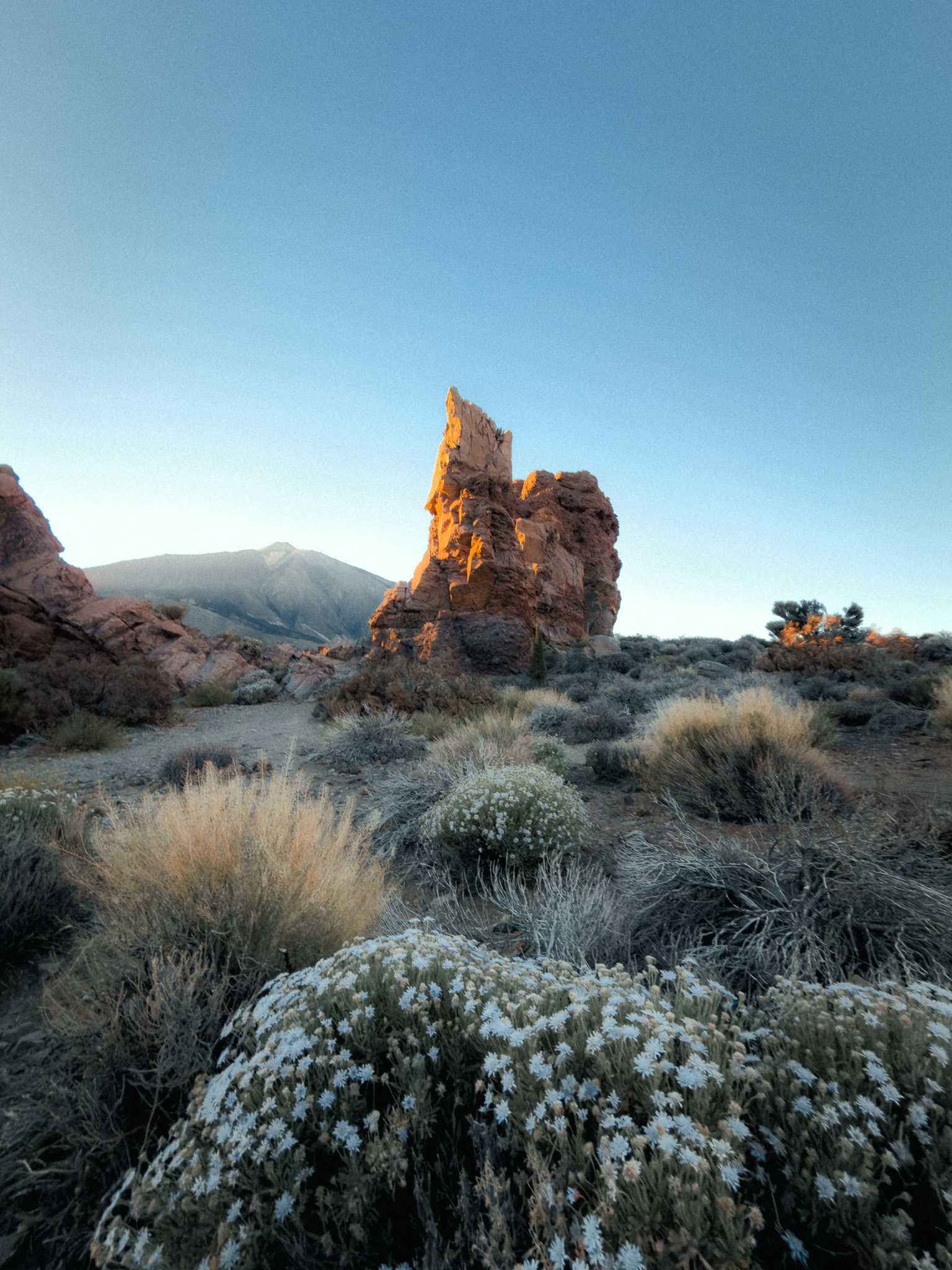
No hiking guide to Tenerife would be complete without the Roques de García trail. It is one of the island's most iconic hikes. The official circular route is about 3.6 km long and normally takes around 2 hours.
The trail loops around the spectacular Roques de García, a collection of volcanic rock formations shaped by thousands of years of erosion. The highlight is Roque Cinchado, one of Tenerife's most recognizable natural landmarks. Along the way, you'll enjoy stunning views of Mount Teide, lava fields, and dramatic volcanic landscapes.
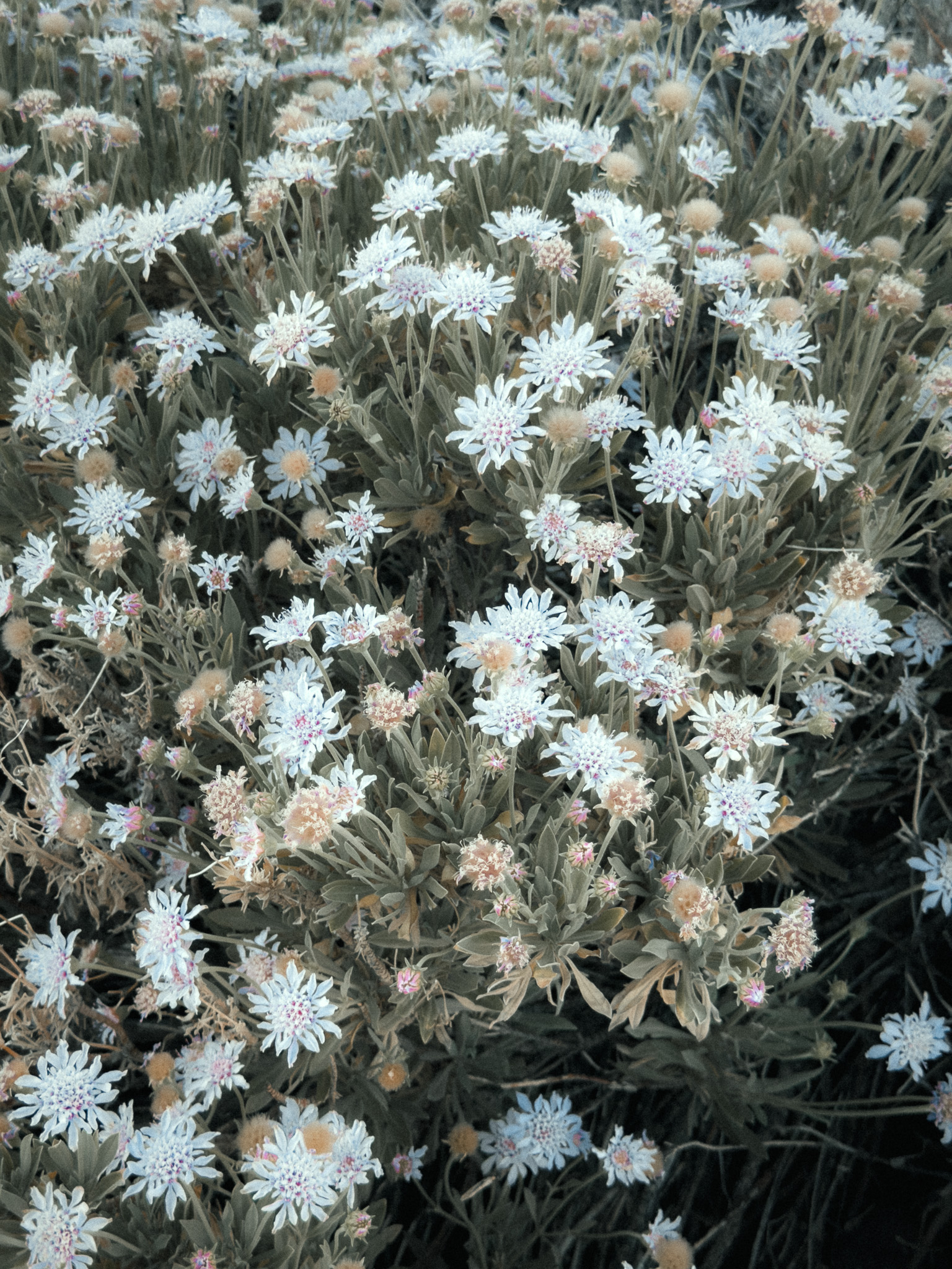
Spring is the most colourful season thanks to the blooming Teide broom, while summer usually offers crystal-clear skies and outstanding visibility. Although the hike is relatively short, it shouldn't be underestimated. The route includes several steep climbs and descents, uneven rocky terrain, and reaches an altitude of over 2,100 metres. We wouldn't recommend it for families with very young children, visitors with limited mobility, or anyone unaccustomed to hiking.
The usual starting point is the parking area at La Ruleta, beside Roques de García. Improvement works at La Ruleta and Cañada Blanca were completed and the parking area reopened in July 2026. This is still one of the busiest parts of Teide National Park, so arrive early and check current access or parking rules before driving up.
8. Barranco del Infierno
Adeje · Protected Nature Reserve · Waterfall Hike
Start point: Barranco del Infierno
Route: AllTrails
Official booking: Barranco del Infierno
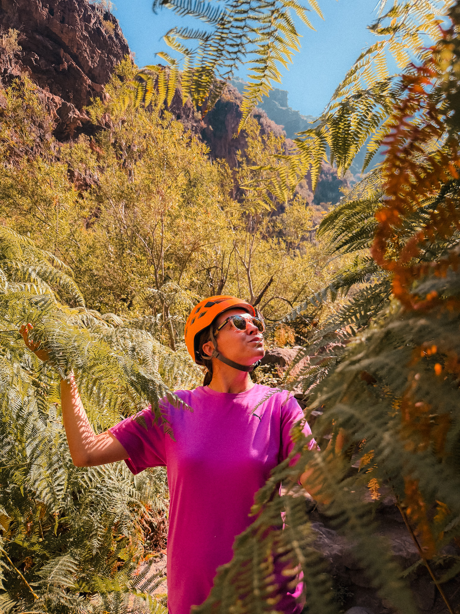
Barranco del Infierno is one of Tenerife's most popular hiking trails. The official out-and-back route is about 6.5 km long, takes around 3 hours, and leads through one of the island's most impressive volcanic gorges.
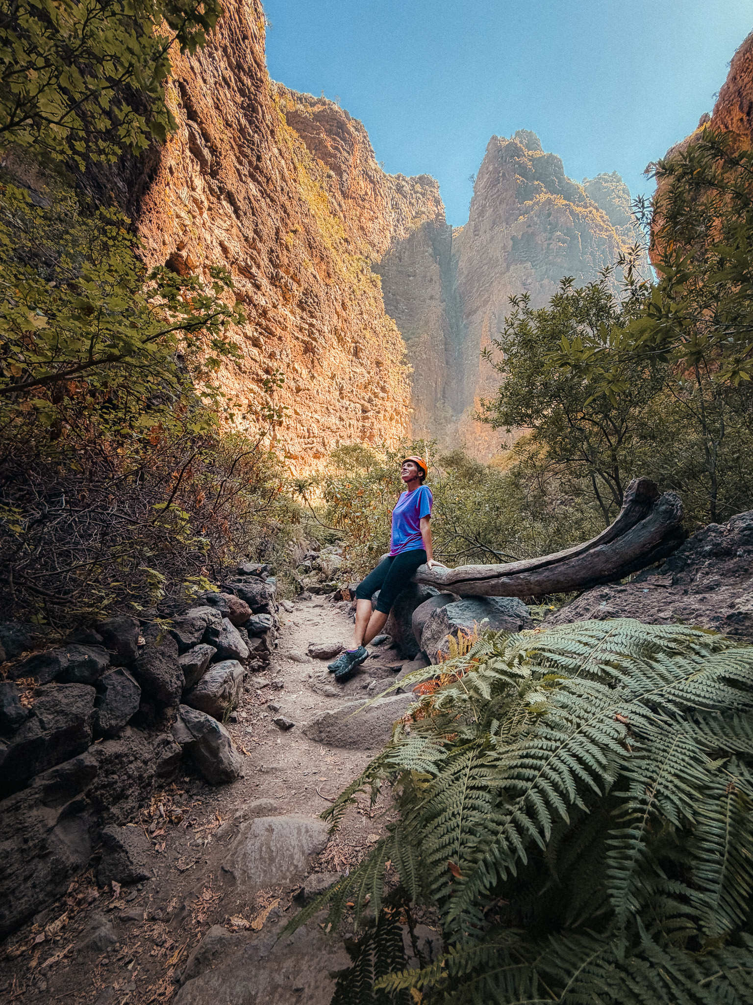
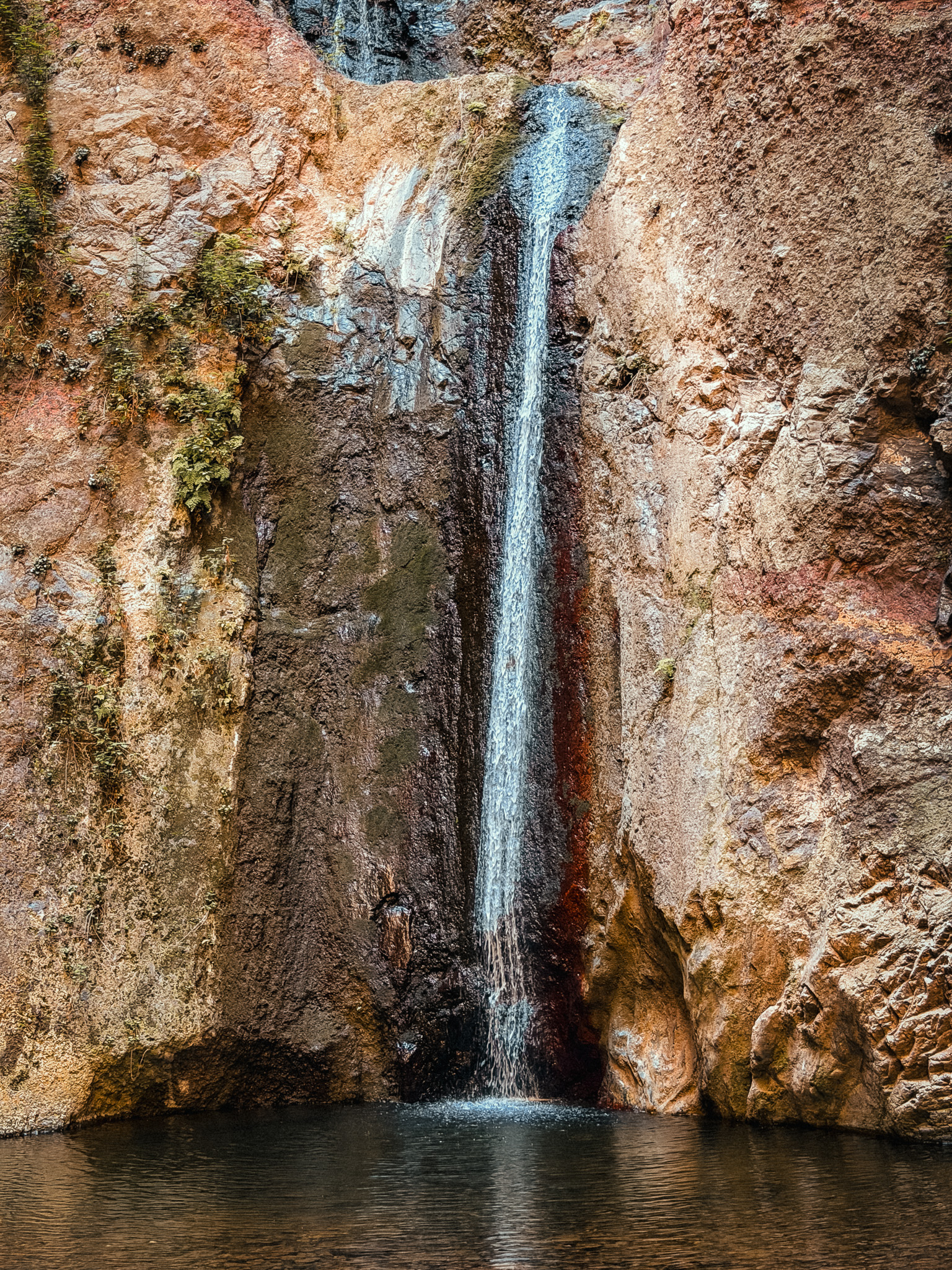
The trail starts in the historic town of Adeje and gradually climbs into a dramatic canyon surrounded by towering cliffs. Along the way, you'll cross small bridges, follow historic irrigation channels, and enjoy spectacular views before reaching Barranco del Infierno Waterfall, one of the few permanent natural waterfalls on Tenerife.
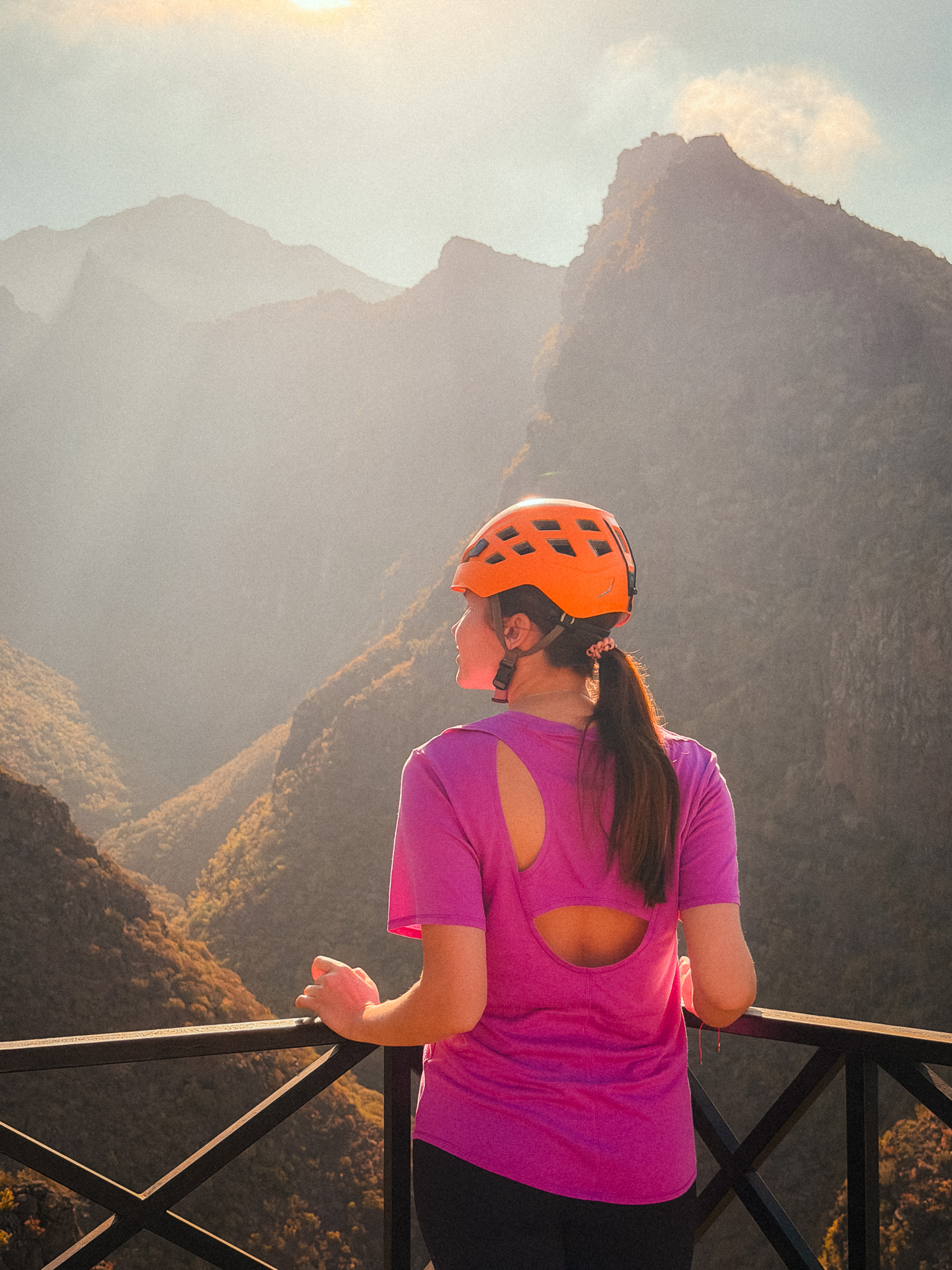
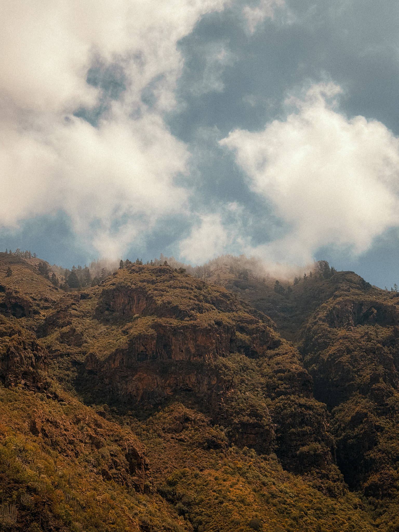
The official site rates the route as medium difficulty. The trail is managed and well marked, but the rocky terrain still requires suitable closed footwear; bring drinking water and sun protection as well.
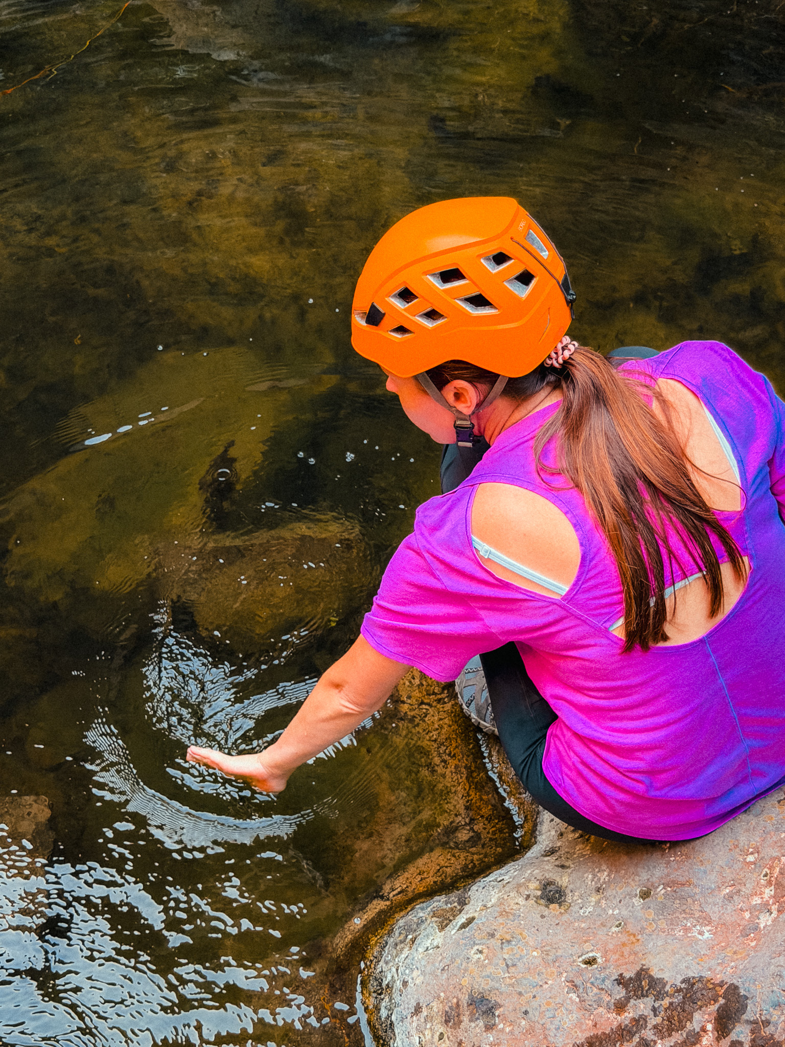
Barranco del Infierno has controlled access and limited daily capacity, so booking in advance is strongly recommended. The helmet provided at the meeting point must be worn throughout the route, and children under five are not admitted. After the hike, you can explore Adeje Old Town or continue down toward the beaches of Costa Adeje.
9. Punta del Hidalgo – Chinamada – Mirador Aguaide
Anaga Rural Park · Punta del Hidalgo · Chinamada · High-Elevation Hike
Start point: Randonnée Punta del Hidalgo
Route: AllTrails
This is a challenging out-and-back hike of roughly 9.5 km, with a serious climb from almost sea level to the mountains above Punta del Hidalgo.
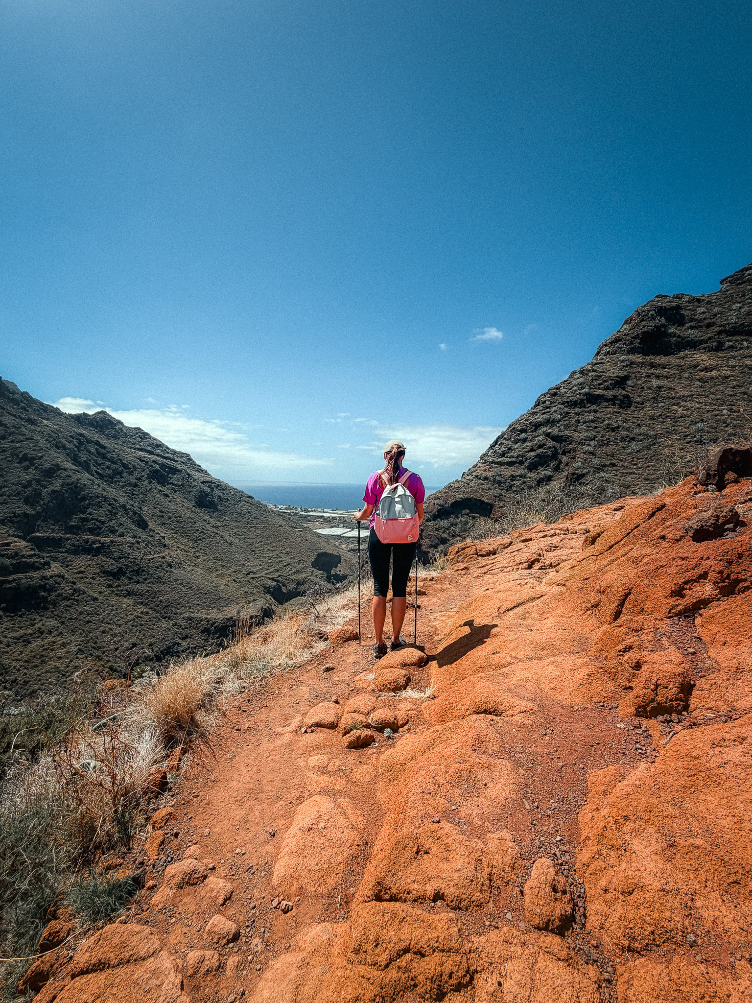
The route begins in Punta del Hidalgo and climbs continuously through rugged cliffs, ravines, and old stone paths toward Chinamada. The distance itself is not extreme, but the elevation is what makes this hike demanding.
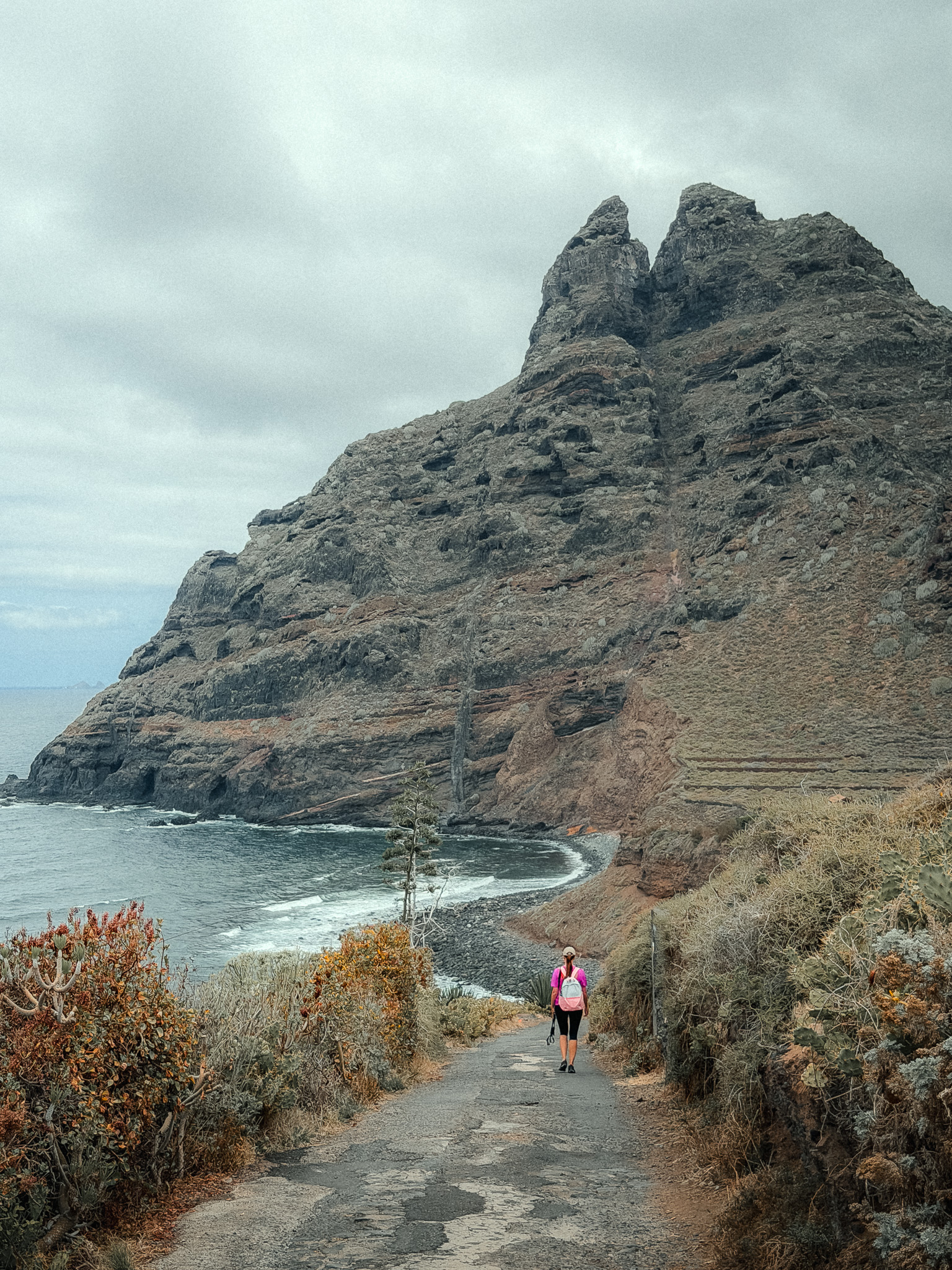
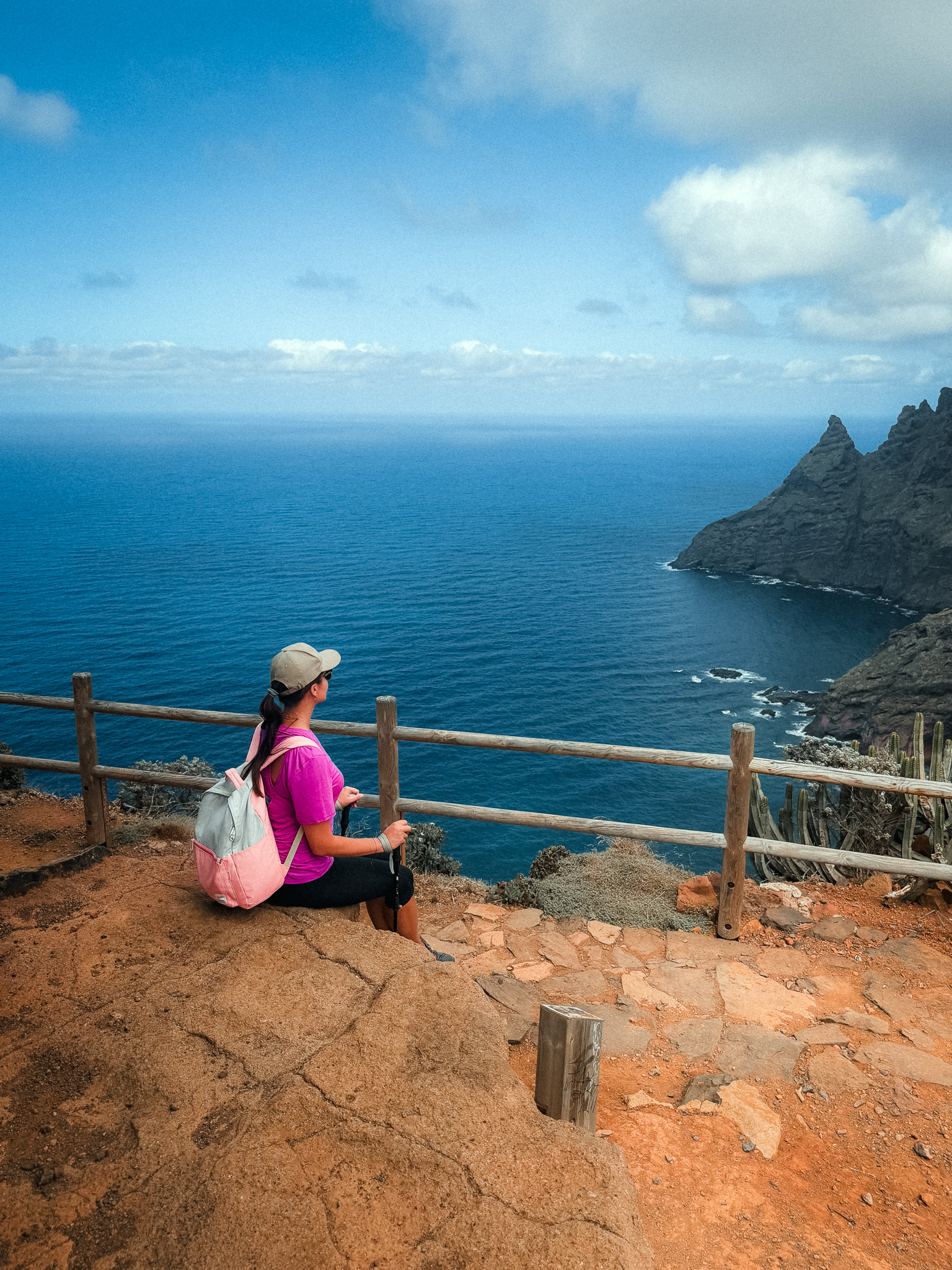
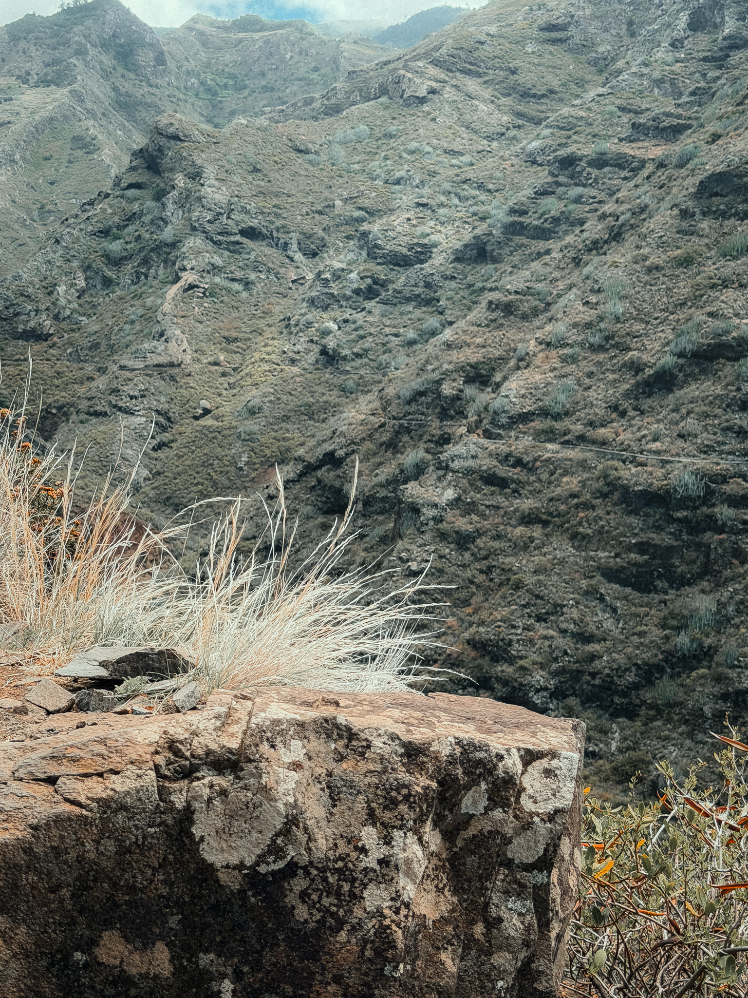
As you gain height, Punta del Hidalgo becomes smaller below you and the Atlantic opens behind you. Eventually, you reach Chinamada, known for its traditional cave houses carved into the volcanic rock.
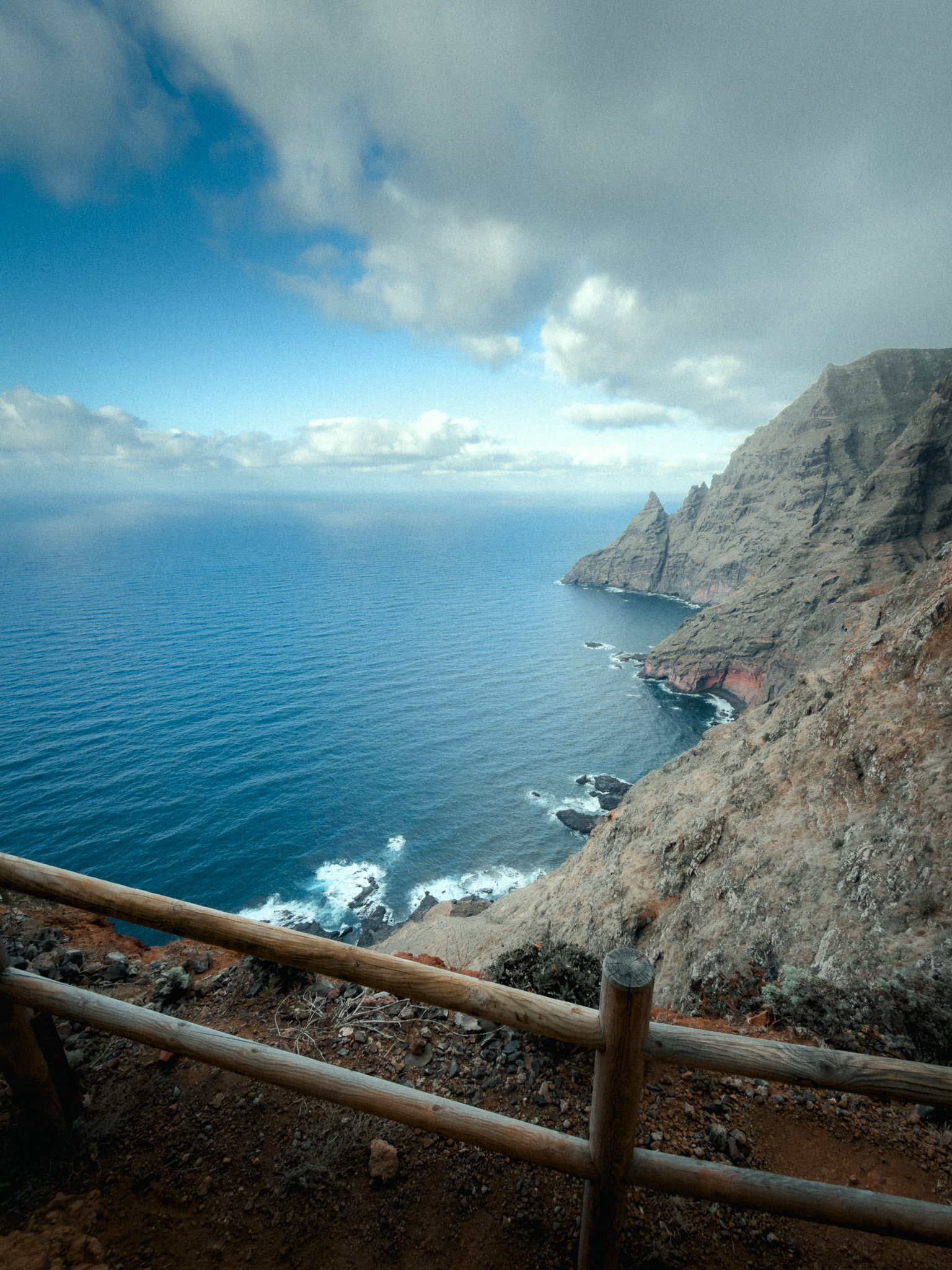
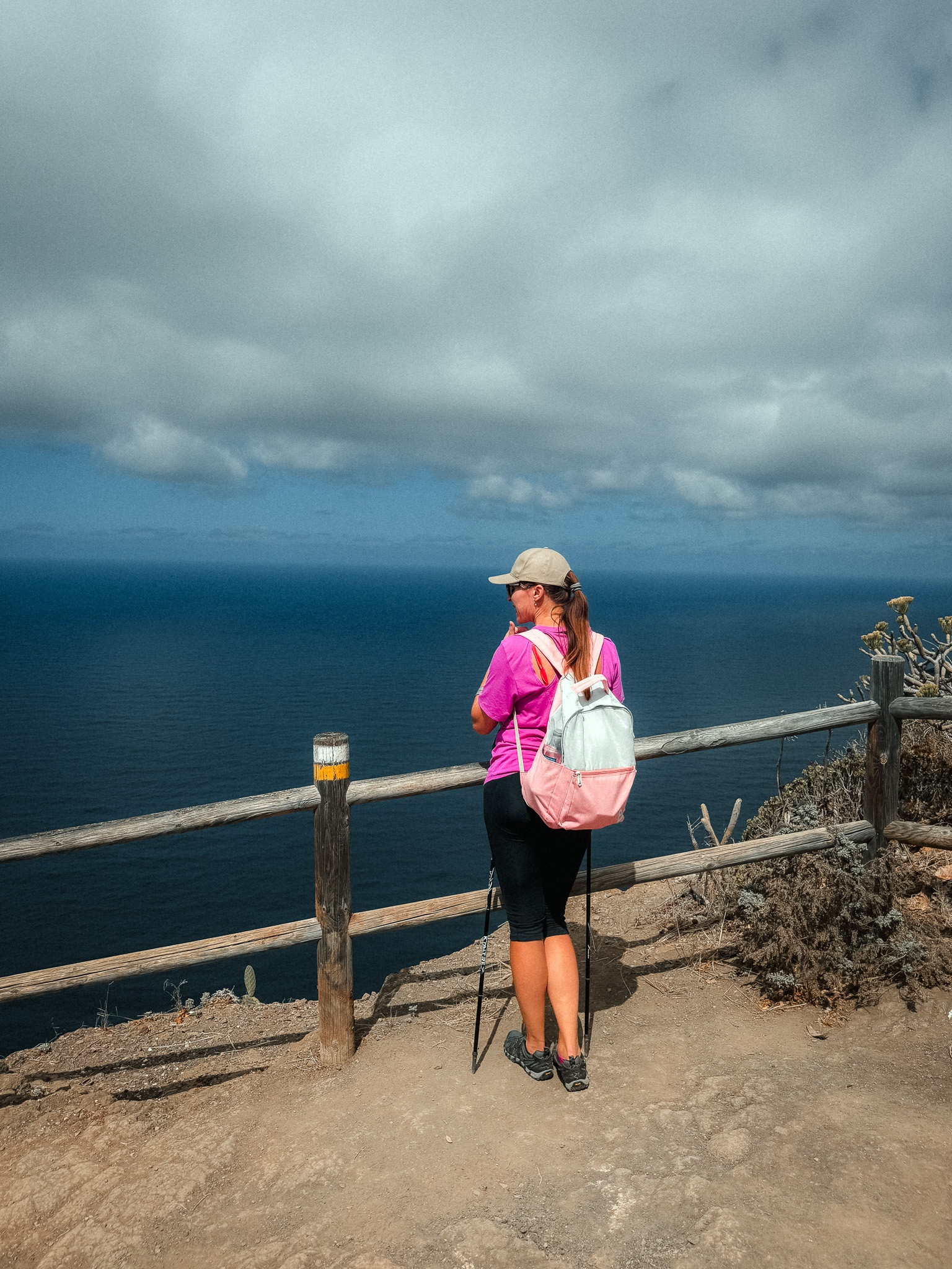
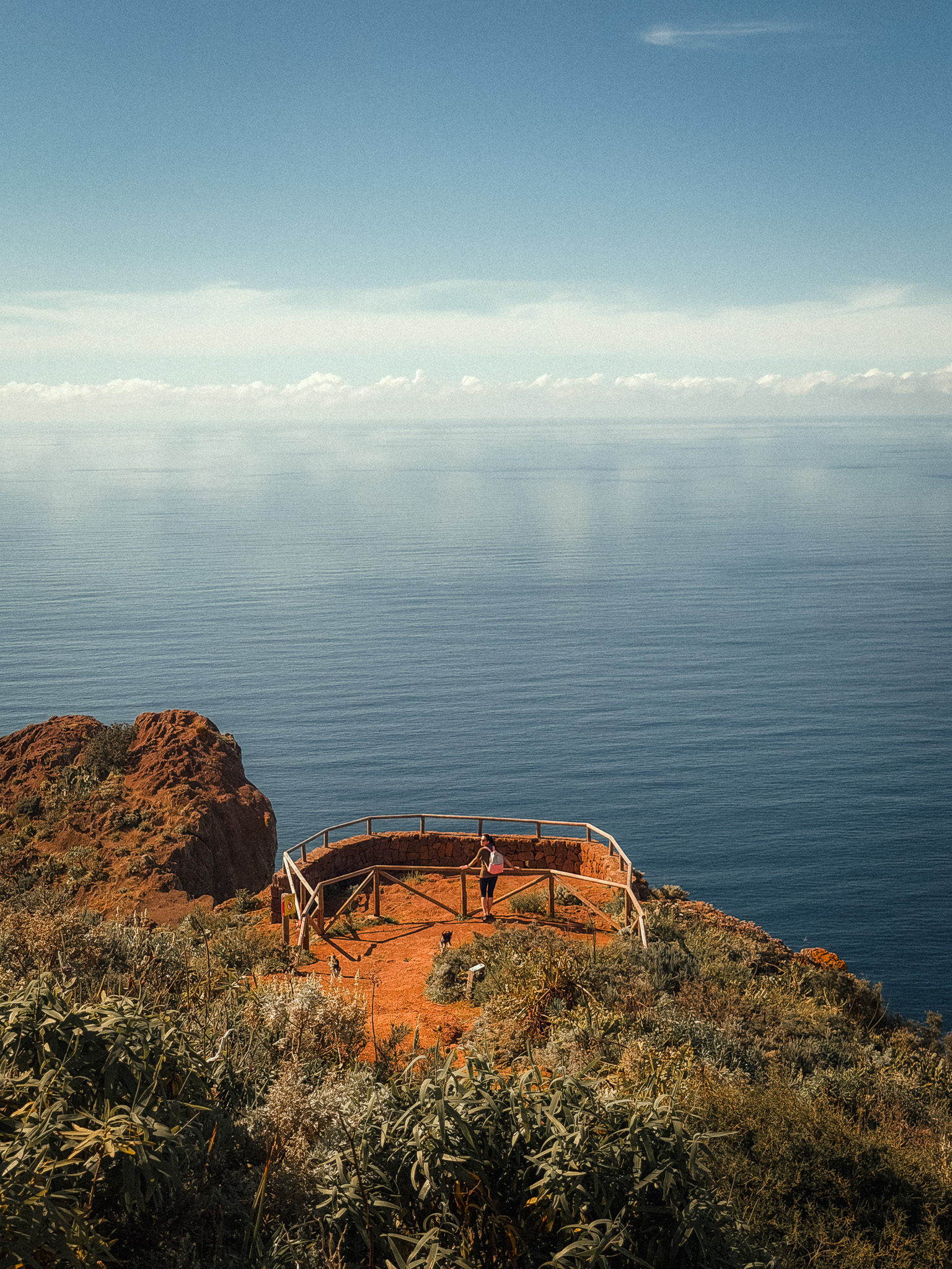
From Chinamada, continue toward Mirador Aguaide, one of the most dramatic viewpoints in Anaga. The platform sits high above the northern coast, with huge views over the cliffs and ocean.
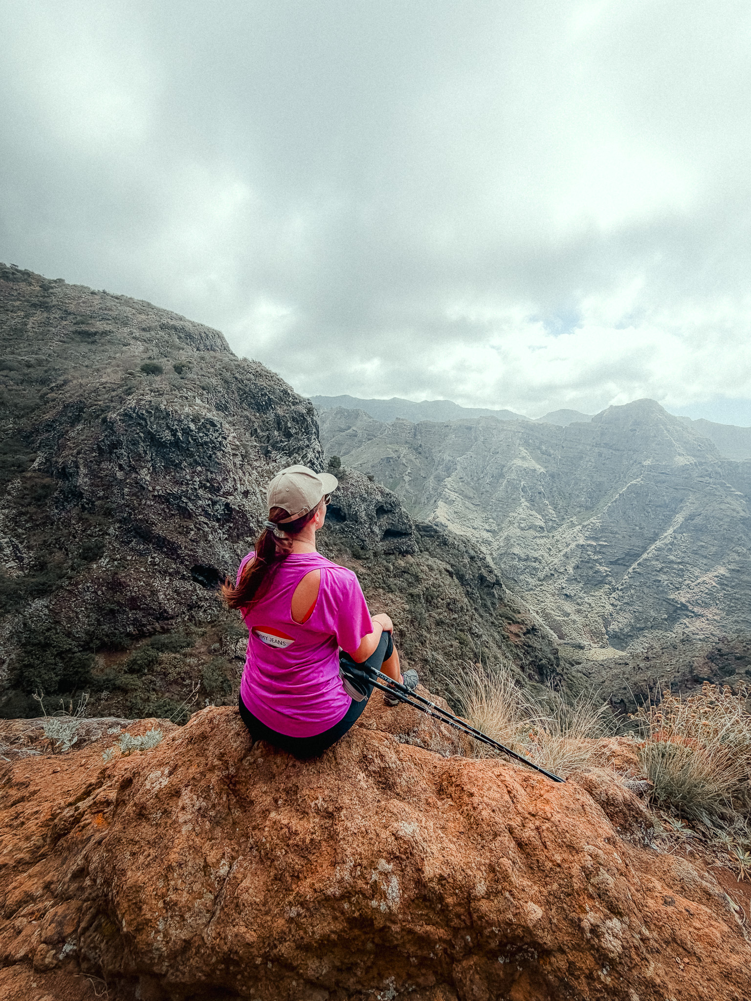
There are long climbs, stone steps, exposed sections, and very little shade in places. On a warm day, this can be physically demanding, but for experienced hikers the combination of ocean views, mountains, and traditional villages makes it one of the most rewarding hikes in Anaga.
10. Cruz de Taganana – Taganana – Roque de los Pasos
Anaga Rural Park · Laurel Forest · Taganana · Difficult Mountain Loop
Start point: Casa Forestal
Route: AllTrails
This difficult circular route through Anaga is 7.6 km long, with around 750 m of elevation gain, and usually takes about 4 hours. The steep climbs and major elevation changes make it feel much longer than the distance suggests.
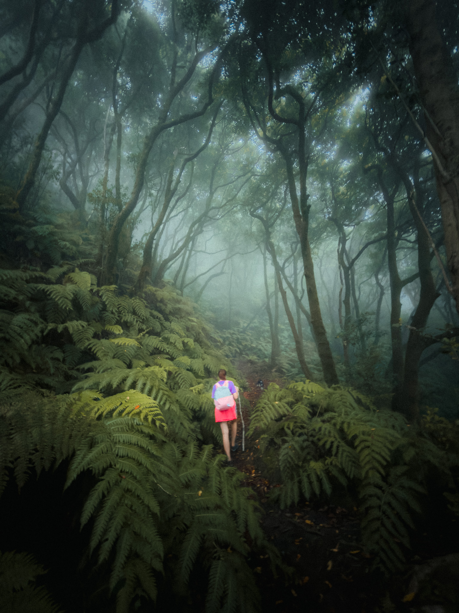
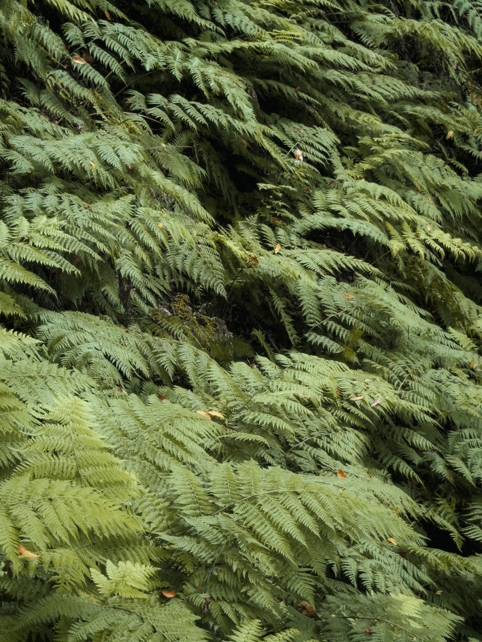
The hike starts high in the Anaga Mountains near Cruz de Taganana and almost immediately enters ancient laurel forest. Everything here is green, cool, and often very humid, even when the coast below is sunny and dry.
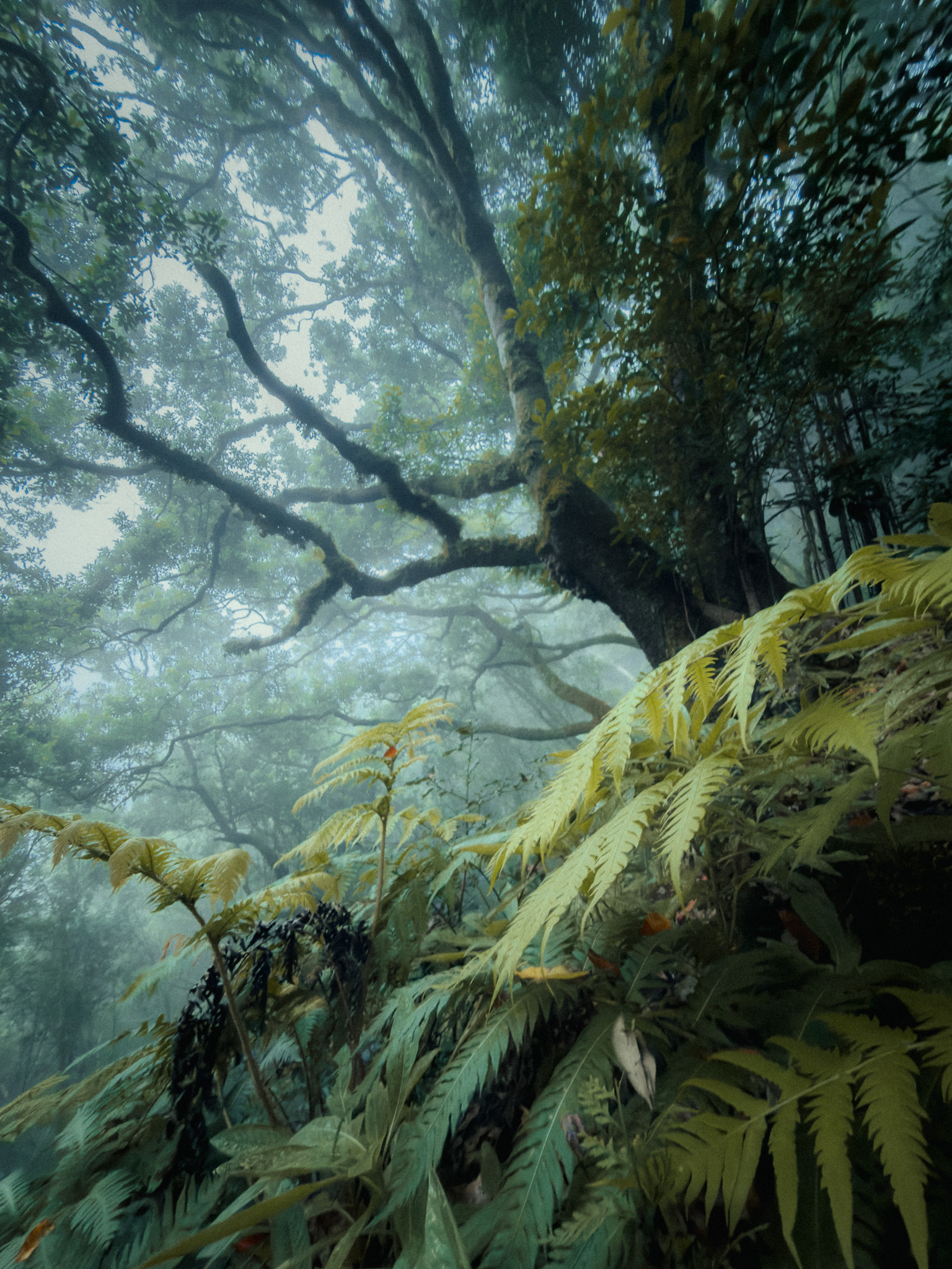
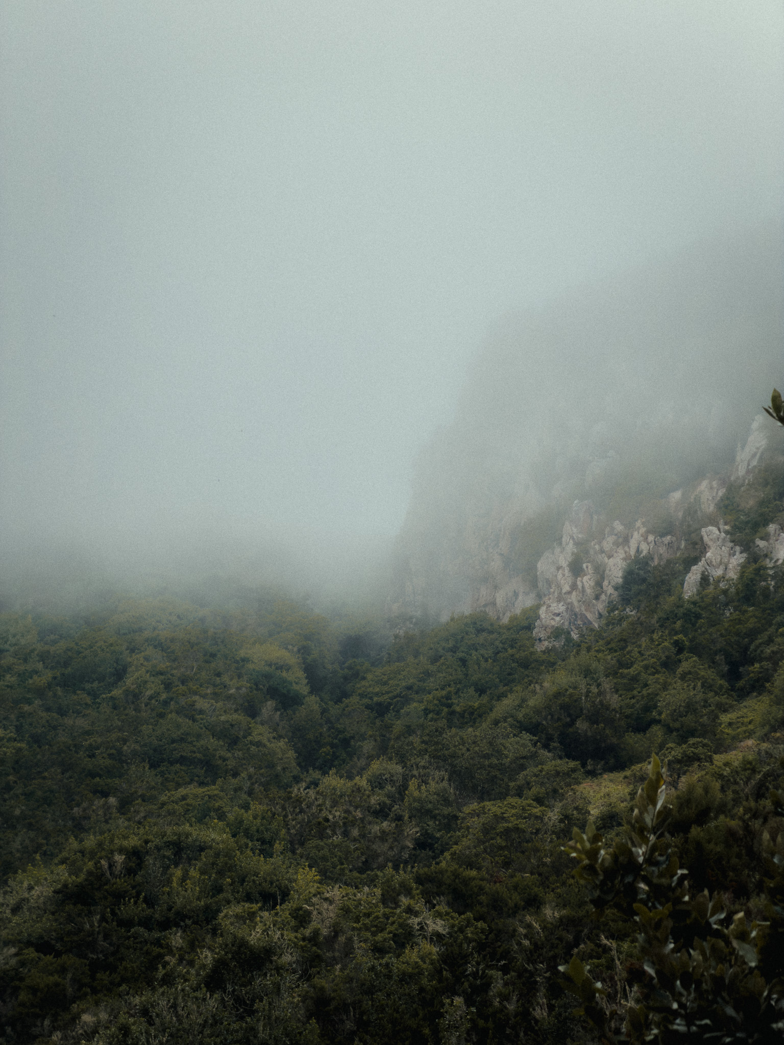
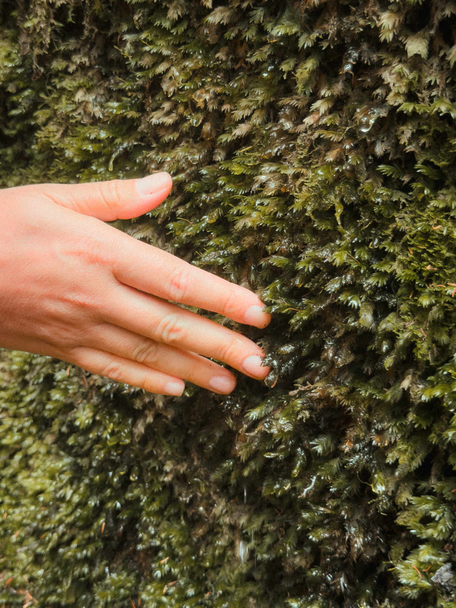
Clouds and mist move through the trees, moisture covers the vegetation, and some of the old stone steps can stay wet and slippery. After periods of rain, small streams can also appear along parts of the route.
The trail then descends toward Taganana. As you leave the forest, huge views open over the village, the surrounding mountains, and the Atlantic.
The hard part comes on the climb back through the Roque de los Pasos area. There are steep sections, narrow paths, and sustained climbing, so this route is best for hikers with good fitness and some mountain experience. Visually, though, it is one of the most atmospheric hikes on the island.
11. Sendero PNT 13 Circular Sámara
Teide National Park · PNT 13 · Volcanic Cones · Canary Pine Forest
Start point: Mirador de Samara
Route: AllTrails
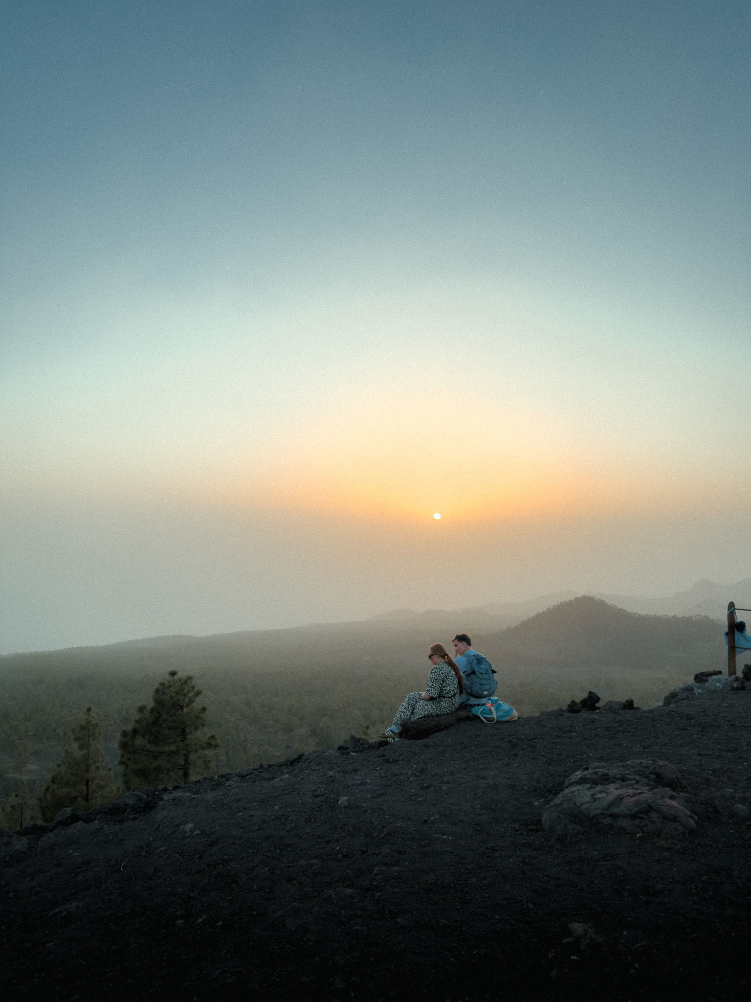
This moderate circular trail in Teide National Park is about 5.1 km long. AllTrails estimates roughly 1 hour 50 minutes, but allowing around 2–2.5 hours gives you time for stops and viewpoints.
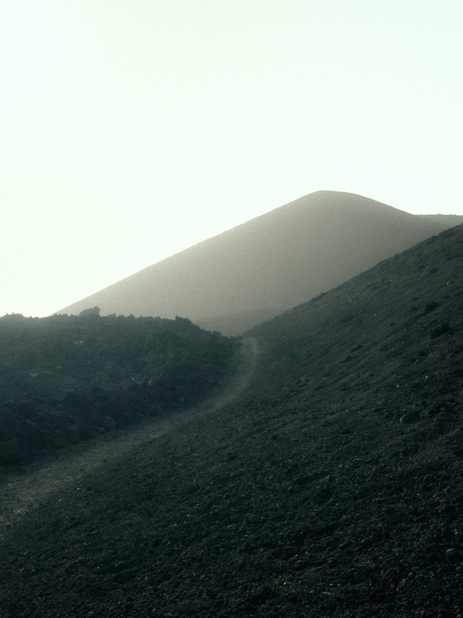
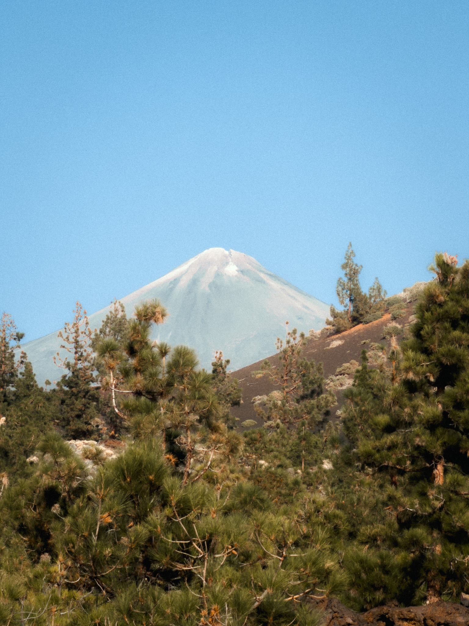
Sendero PNT 13 starts near Mirador de Sámara on the TF-38. What makes this hike special is the contrast between black volcanic ground, colourful volcanic cones, and Canary pine forest.
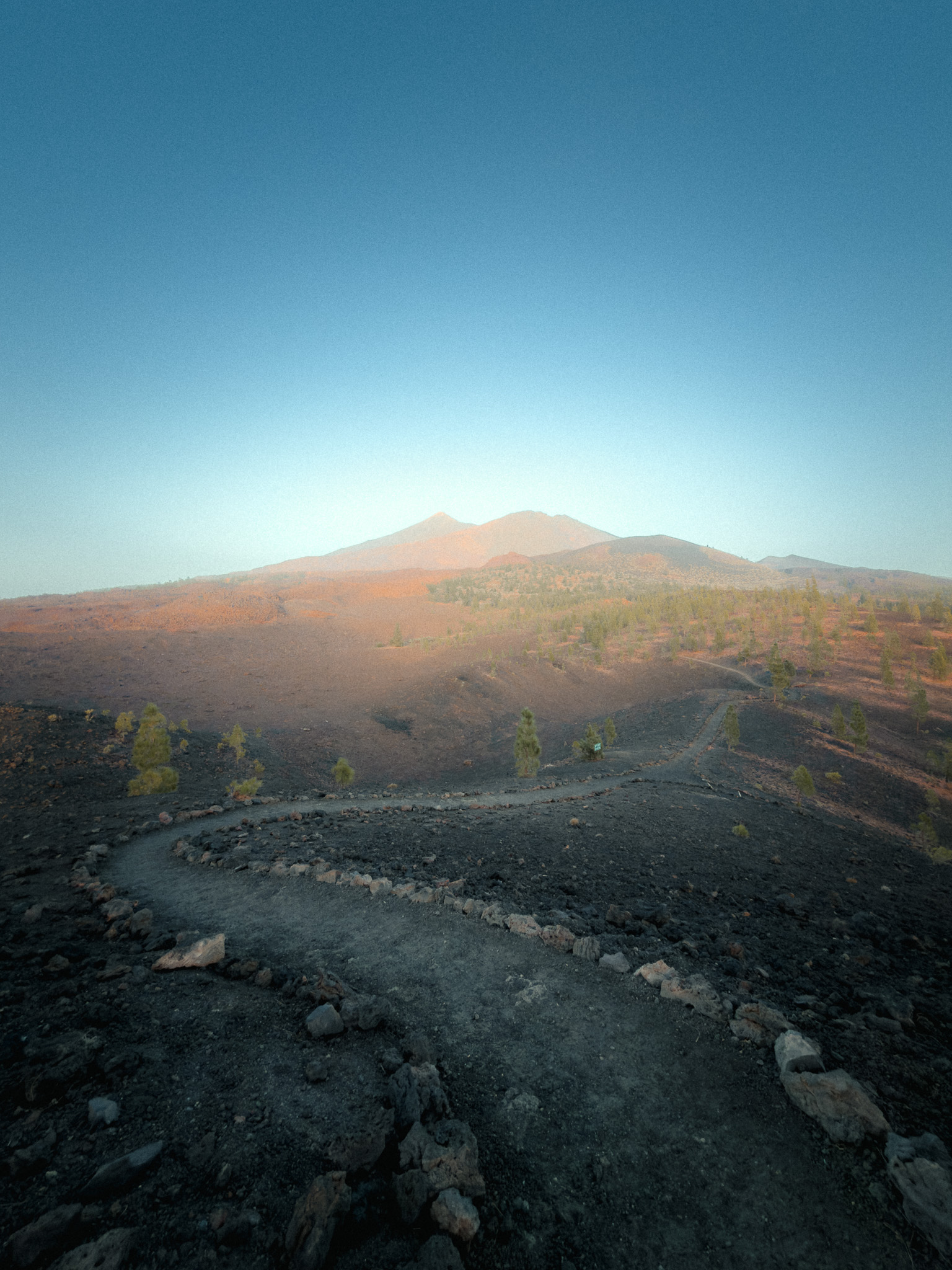
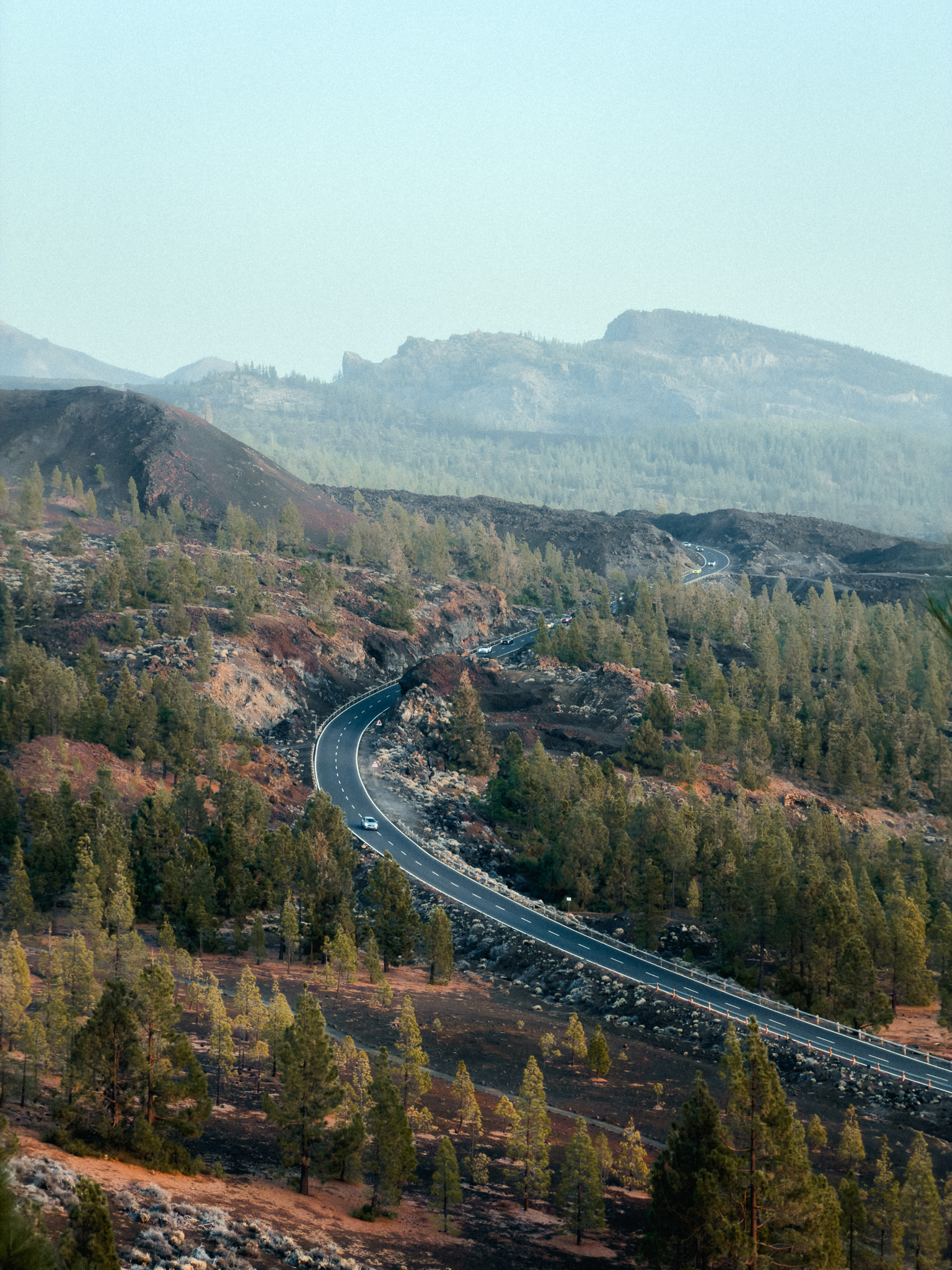
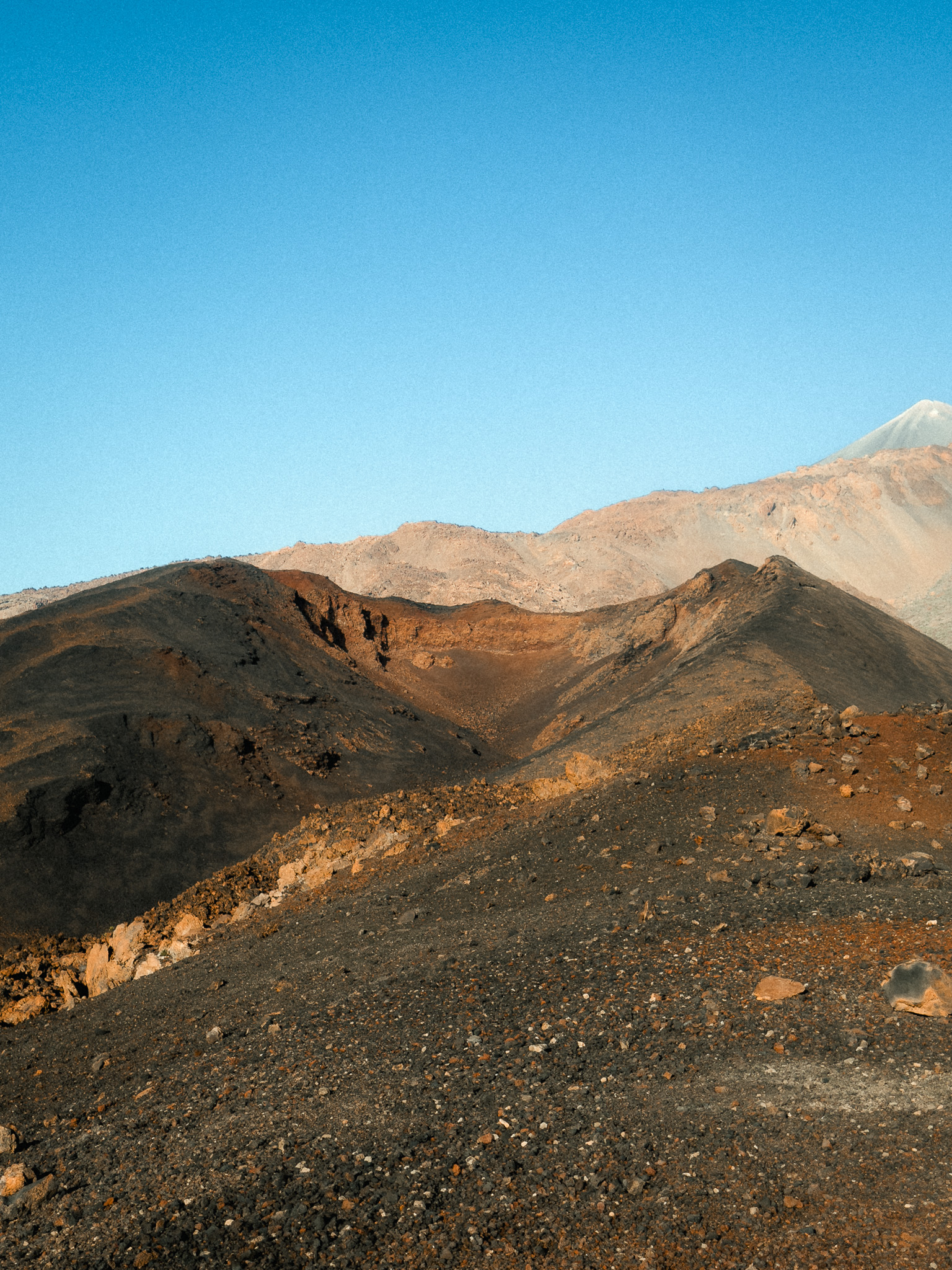
Green pine trees grow directly from dark lava, creating one of the most unusual landscapes in the national park. From the higher sections, you get wide views toward Mount Teide and Pico Viejo, with old lava fields and volcanic cones all around.
The terrain is mostly volcanic lapilli and rock, but the route is moderate rather than technically difficult. It is a great option if you want dramatic Teide scenery without committing to a long high-mountain ascent.
The official PNT 13 route is circular and starts and finishes at Mirador de Sámara. Bring water, sun protection, and a jacket — wind and temperature can change quickly at this altitude.
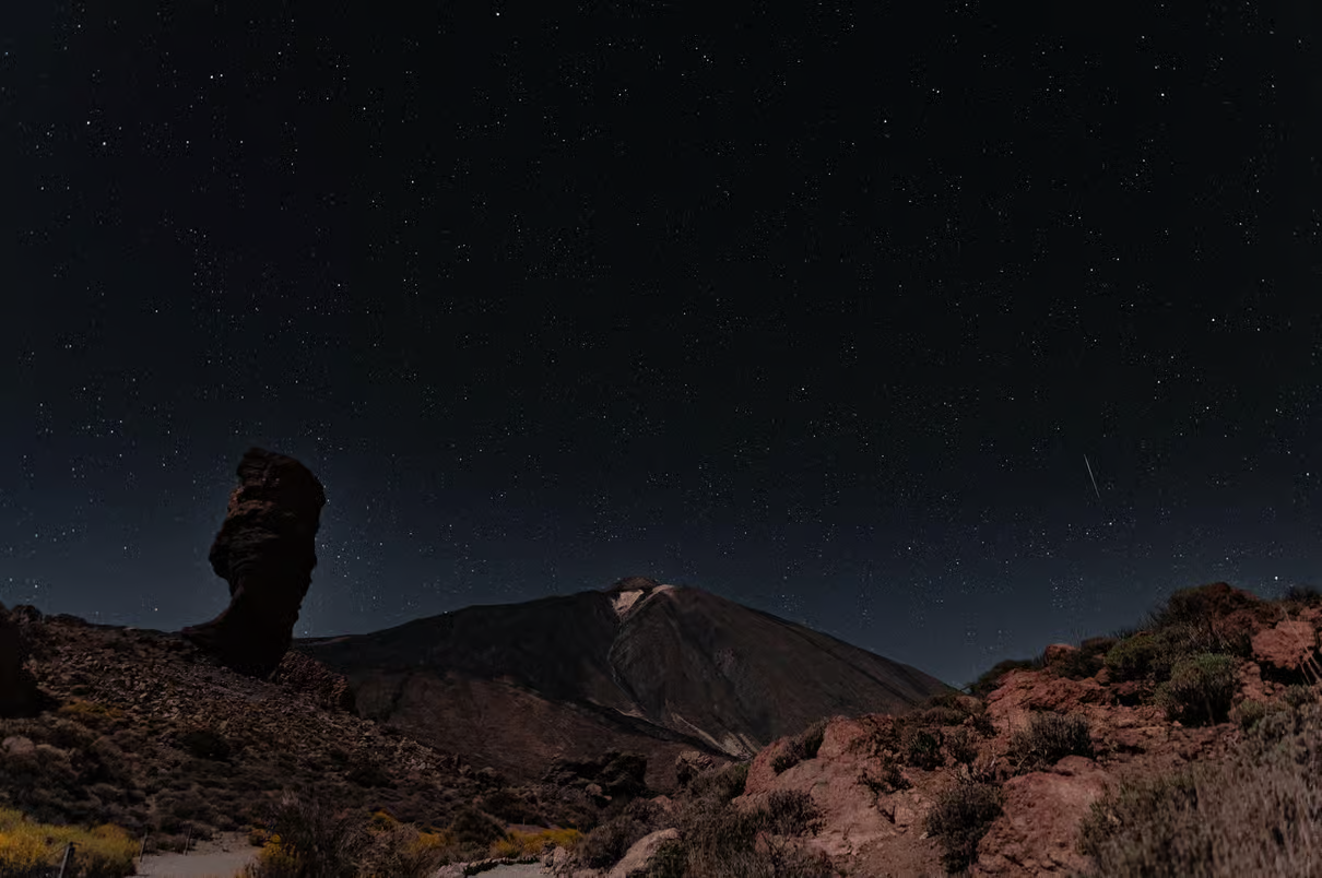
Teide Sunset & Stargazing Tour by Night
A good alternative after exploring Sámara: experience Teide at sunset, stay for the night sky, and leave the driving and logistics to a guided tour.
12. Mount Teide Summit via Altavista Refuge (Cable Car + Sunrise)
Teide National Park · Cable Car · Refugio de Altavista · Sunrise Summit
Book Refugio de Altavista: Official Website
Permits & trail status: Official Website
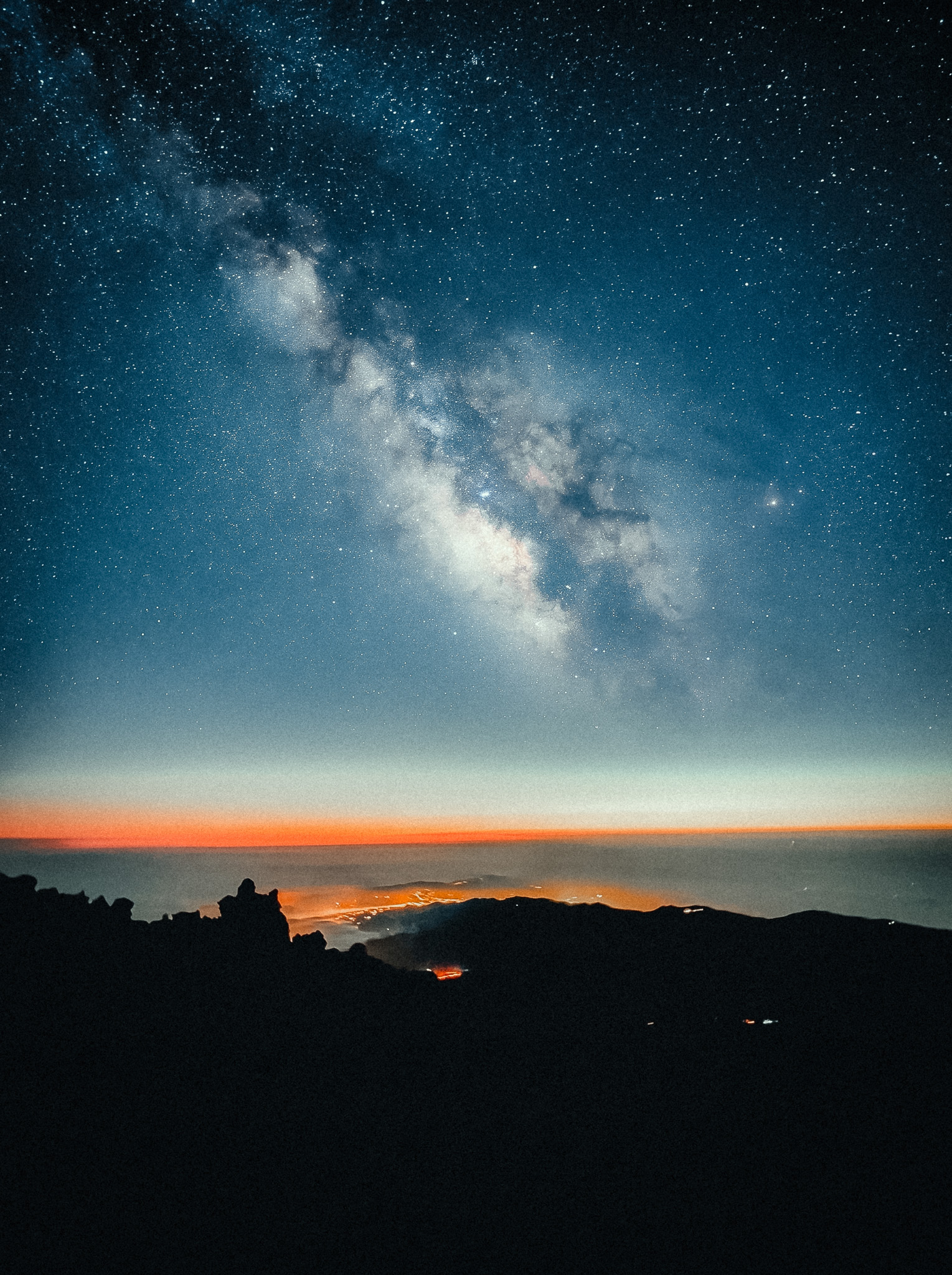
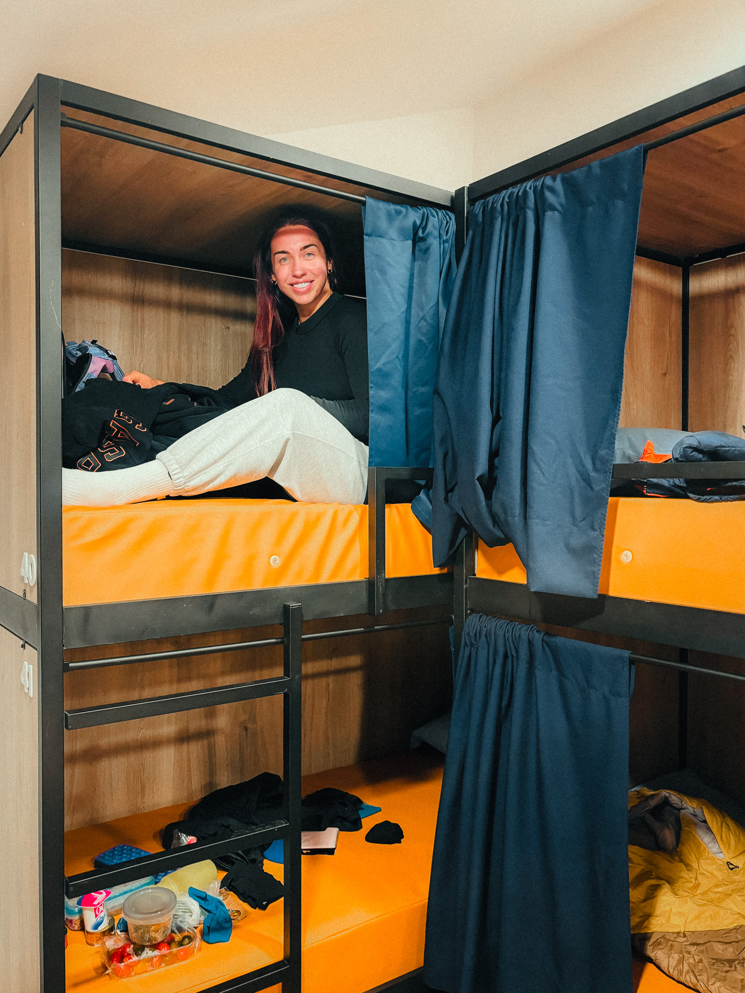
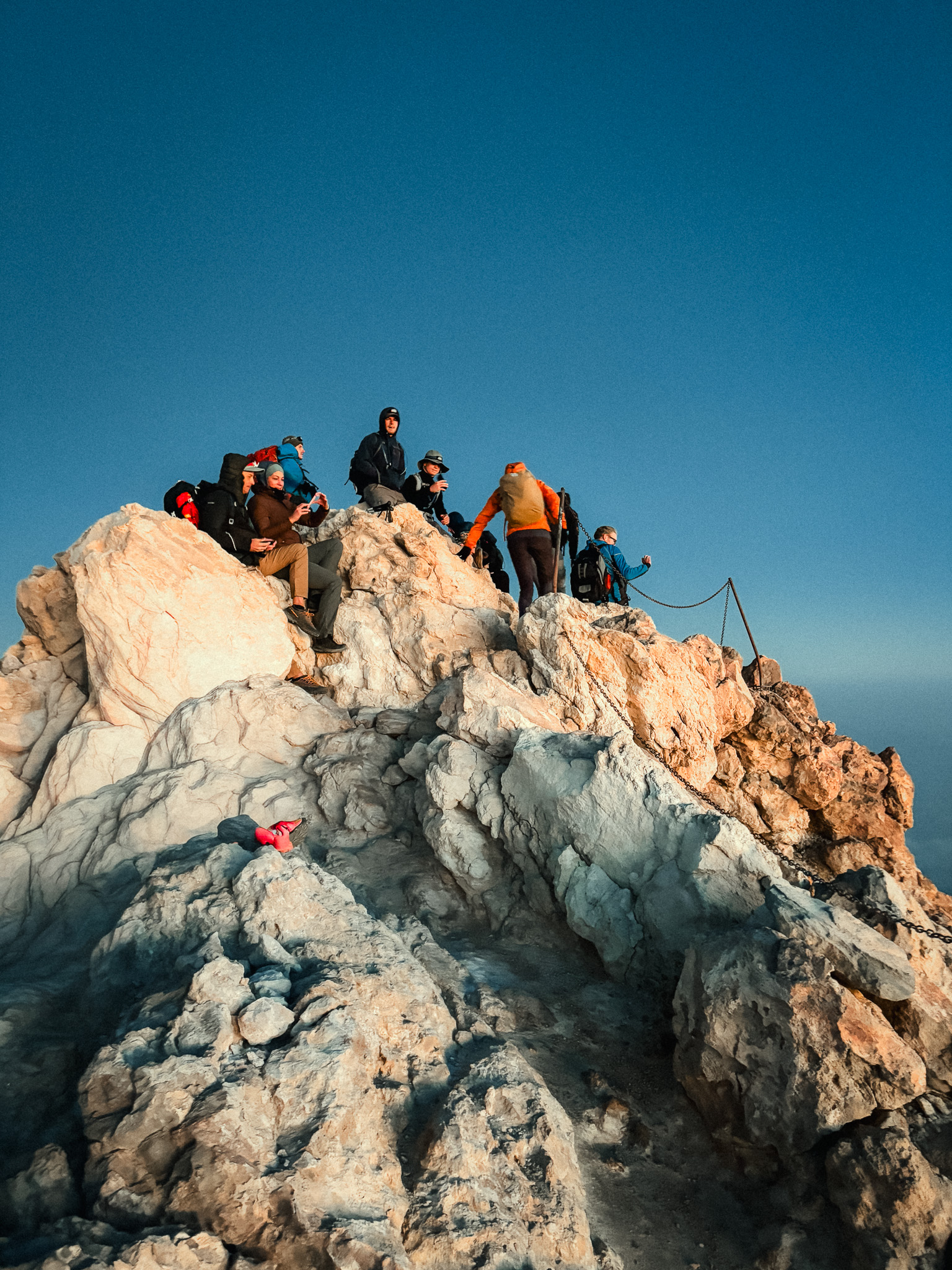
The walk from the upper cable car station to the refuge takes roughly one hour. We reached the refuge in the afternoon, watched the sunset from the high volcanic slopes, and spent the night there at around 3,260 metres above sea level.
The atmosphere changes completely after the cable car stops running. The mountain becomes quiet, the temperature drops quickly, and the night sky can be spectacular. Sleeping at this altitude is part of the experience, but you need to be prepared for cold, wind, and the effects of altitude.
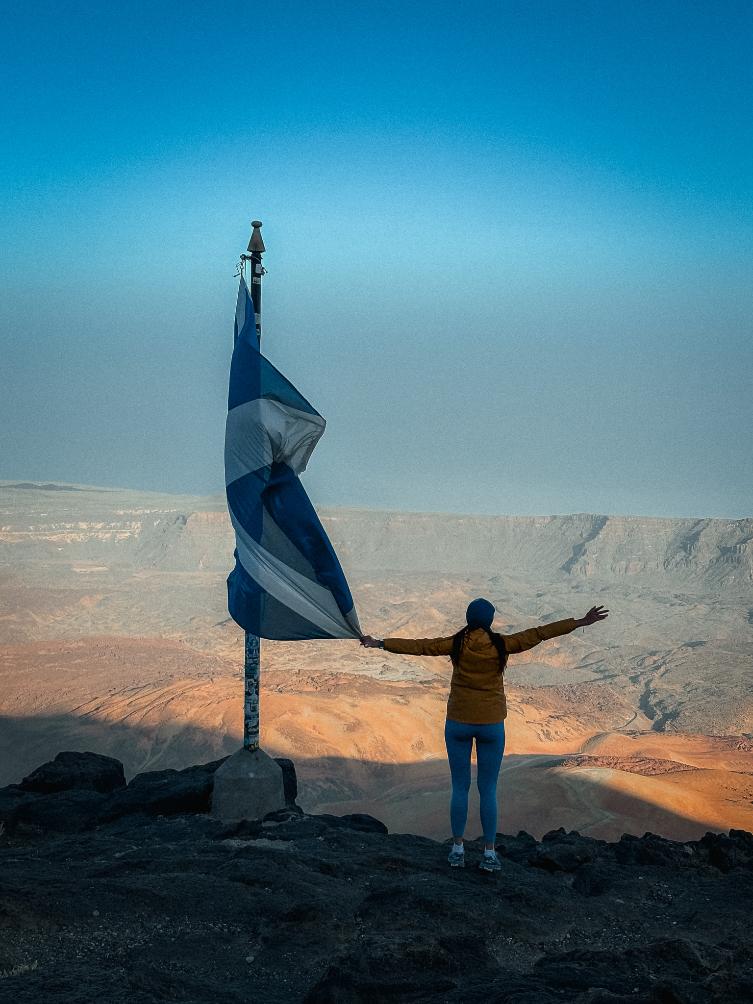
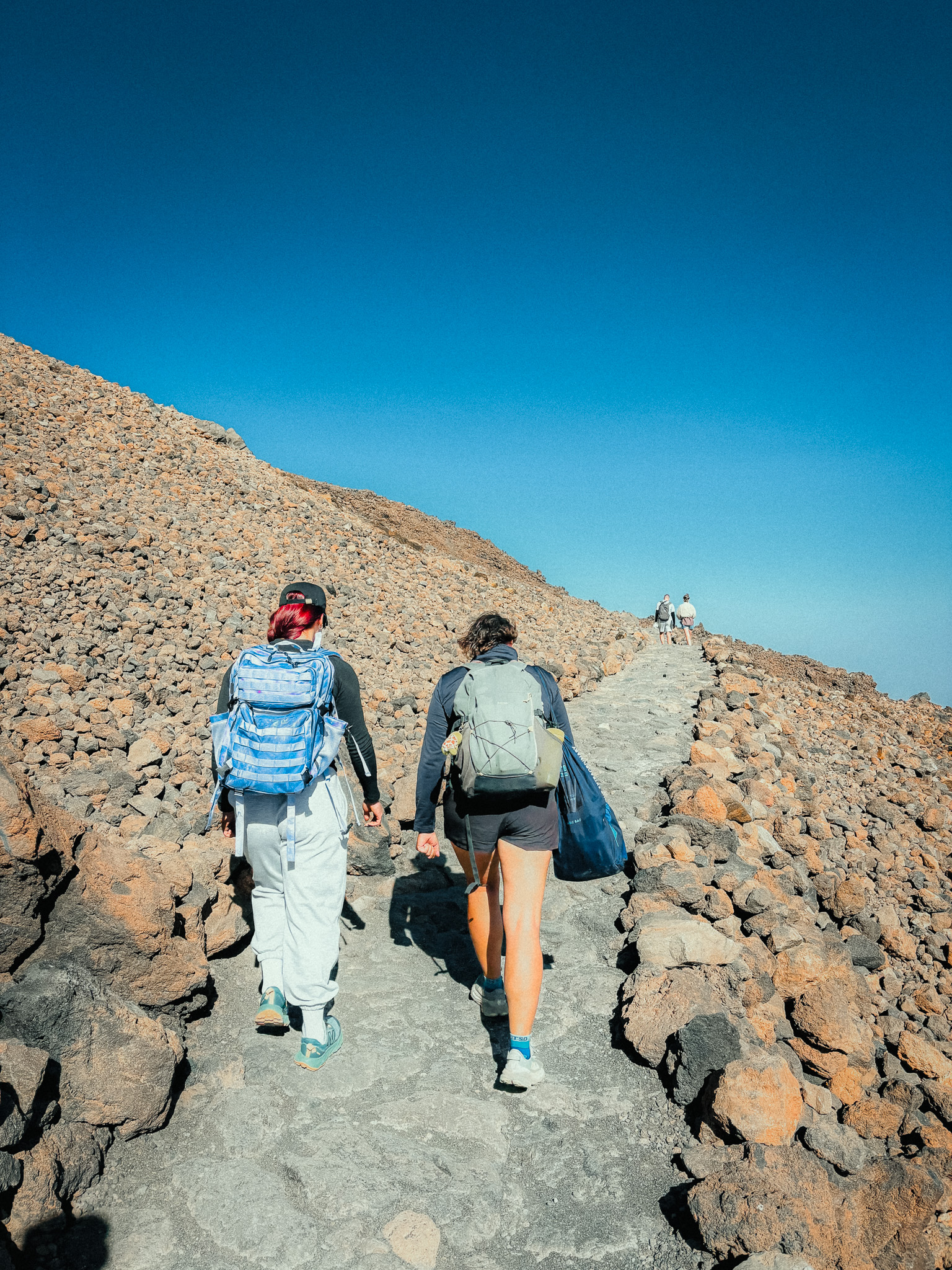
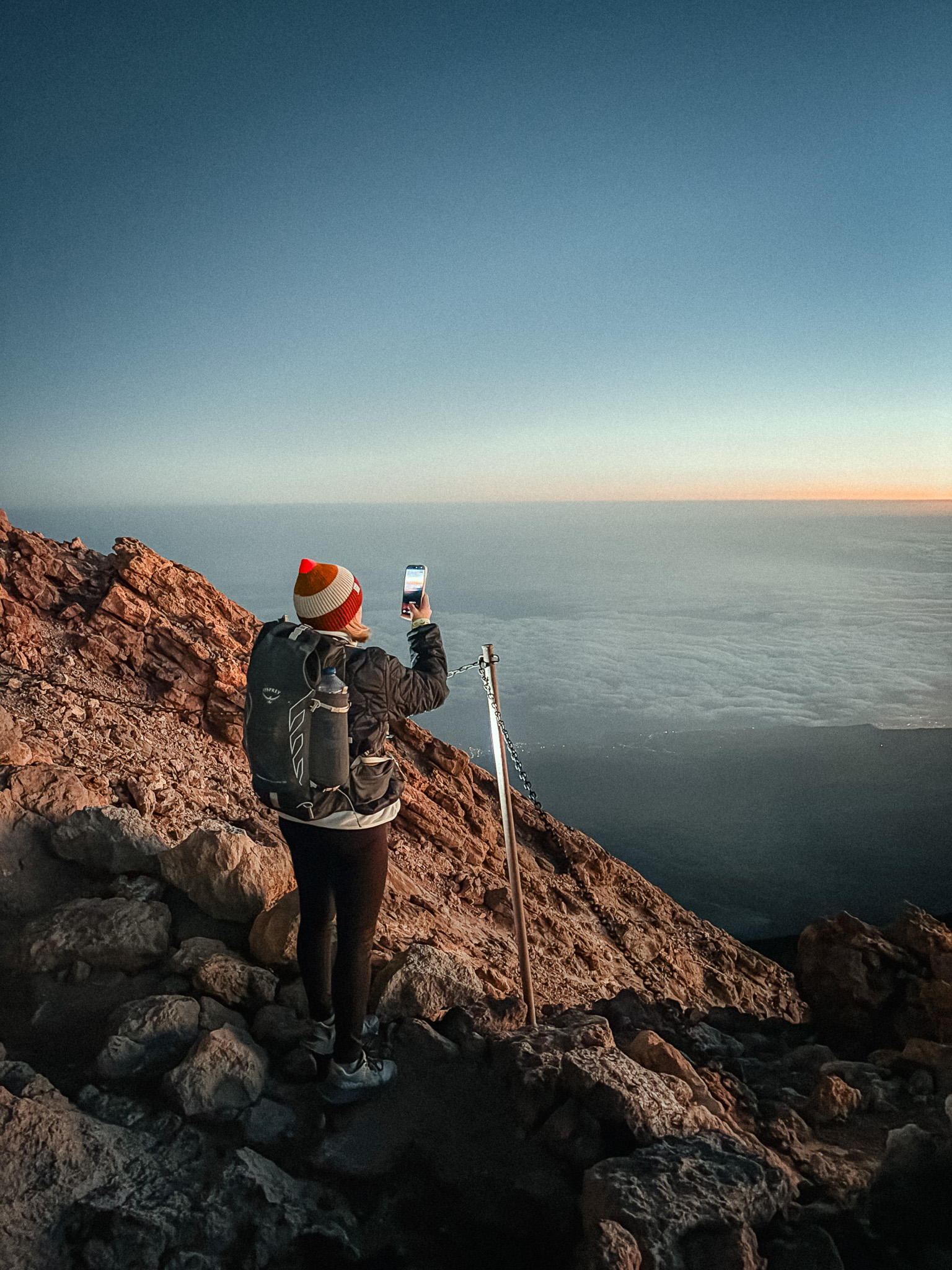
Early the next morning, while it was still dark, we started climbing back toward La Rambleta and then continued along PNT 10 Telesforo Bravo to the summit of Mount Teide. The final section is short but steep, and at this altitude even a relatively small climb feels much harder.
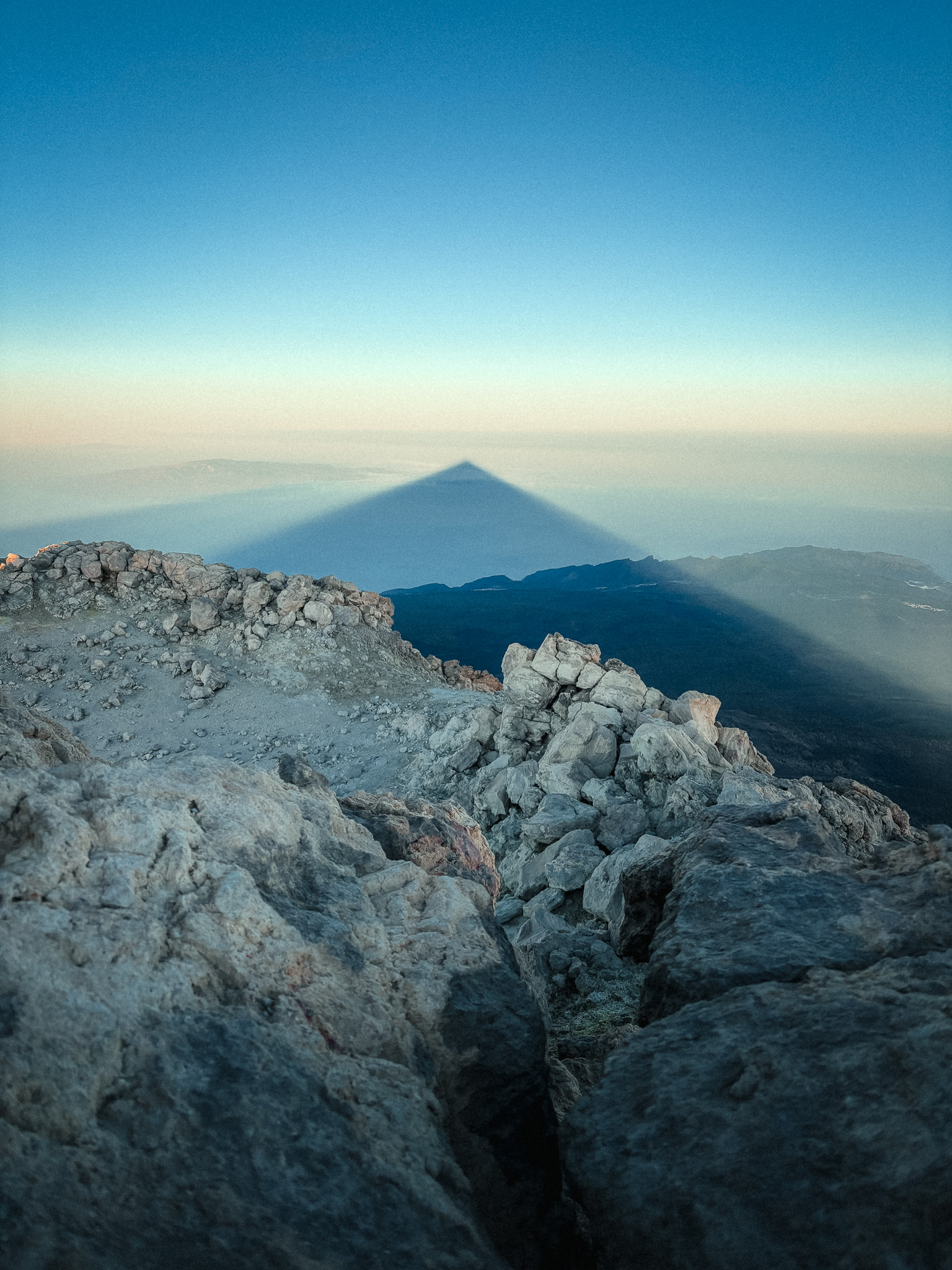
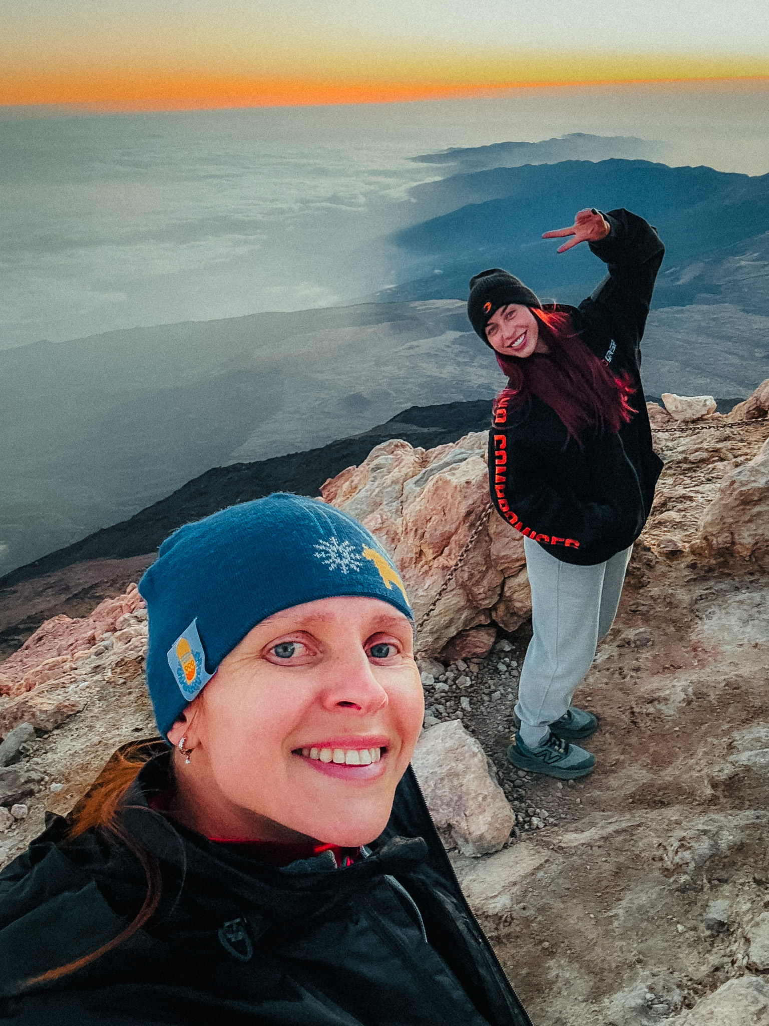
Reaching the summit for sunrise is unforgettable. From the highest point in Spain, the first light spreads across Tenerife and the neighbouring islands, while Teide's enormous triangular shadow stretches across the Atlantic.
Permits are important here. An overnight booking at Refugio de Altavista currently includes the required access permits for PNT 07 Montaña Blanca – La Rambleta and PNT 10 Telesforo Bravo. The included summit window on PNT 10 is 06:00–09:00 on the morning after your stay, so you do not need to obtain those two permits separately when they are covered by the refuge booking.
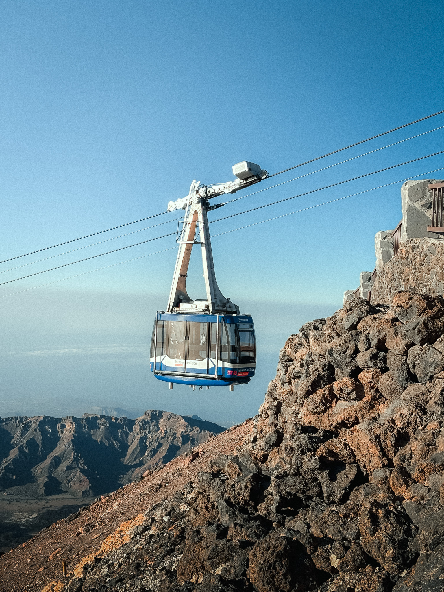
The cable car ticket is not included in the refuge booking and must be booked separately. The cable car can also close because of wind, weather, or technical conditions, so always check the latest operating status before going.
The refuge requires advance booking, has a minimum guest age of 14, and overnight guests must bring their own sleeping bag. Mandatory high-mountain equipment includes suitable hiking footwear, warm clothing, long trousers, a thermal blanket, sufficient water, a charged phone, and a headlamp or torch. Always recheck TenerifeON and the refuge website shortly before your trip because weather, trail status and access rules can change.
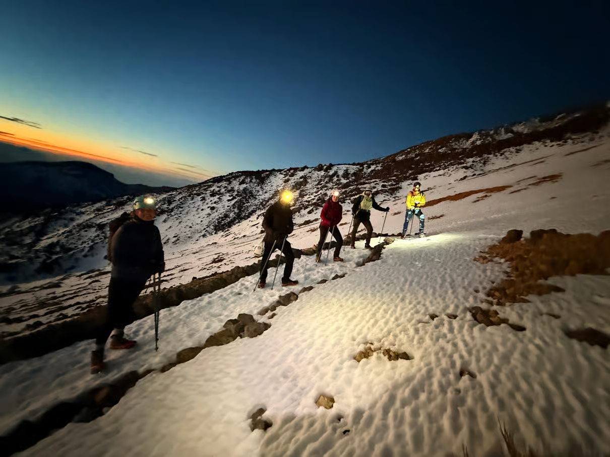
Teide Night Hike to Watch Sunrise and Summit
A demanding 10 km night ascent of Mount Teide with around 1,380 m of elevation gain, timed for sunrise before continuing to the summit. Permits are included; the cable-car descent is paid separately.
Affiliate disclosure: we may earn a commission at no extra cost to you.
Why Tenerife Is One of Europe's Best Hiking Destinations
Tenerife might seem like an unexpected hiking destination, but the island has plenty to offer. Each route offers a unique blend of landscapes. By exploring a few of them, you can hike along a tropical coastline lined with banana plantations, walk down to a wild black-sand beach, pass through a village where people live in cave houses, and climb to the crest of a mountain range with views of the Atlantic on both sides.
Tenerife's trails are incredibly diverse, and the best route depends on the season, weather, and your experience level. Bring suitable hiking shoes, enough water, sun protection, snacks, and an extra layer, and always check current trail and weather conditions before setting out.
Our Top 5 Recommended Tenerife Experiences
Want to mix your hiking days with something different? These five experiences combine mountain scenery, the ocean and the night sky. Choose the one that fits your interests, fitness and where you are staying.
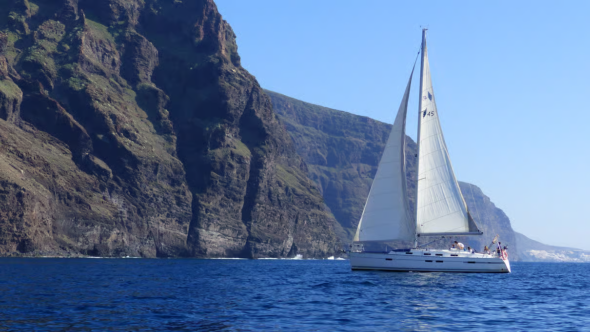
1. Sail from Los Gigantes and look for whales
A relaxed ocean day between hikes, with views of the cliffs and a small-group sailing-boat experience. Wildlife sightings depend on nature; swimming stops depend on sea conditions.
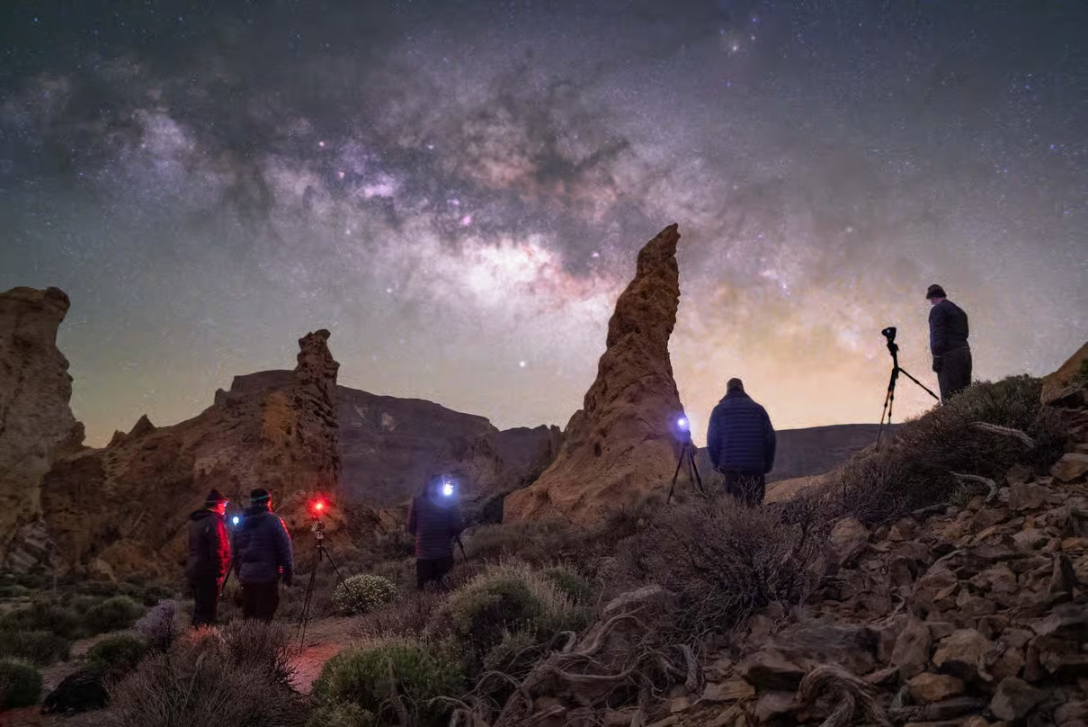
2. Teide sunset and stargazing
Swap the daytime trails for an evening in the volcanic landscape and guided observation of the night sky. Choose the pickup and meal option that suits your plans; clear skies are never guaranteed.
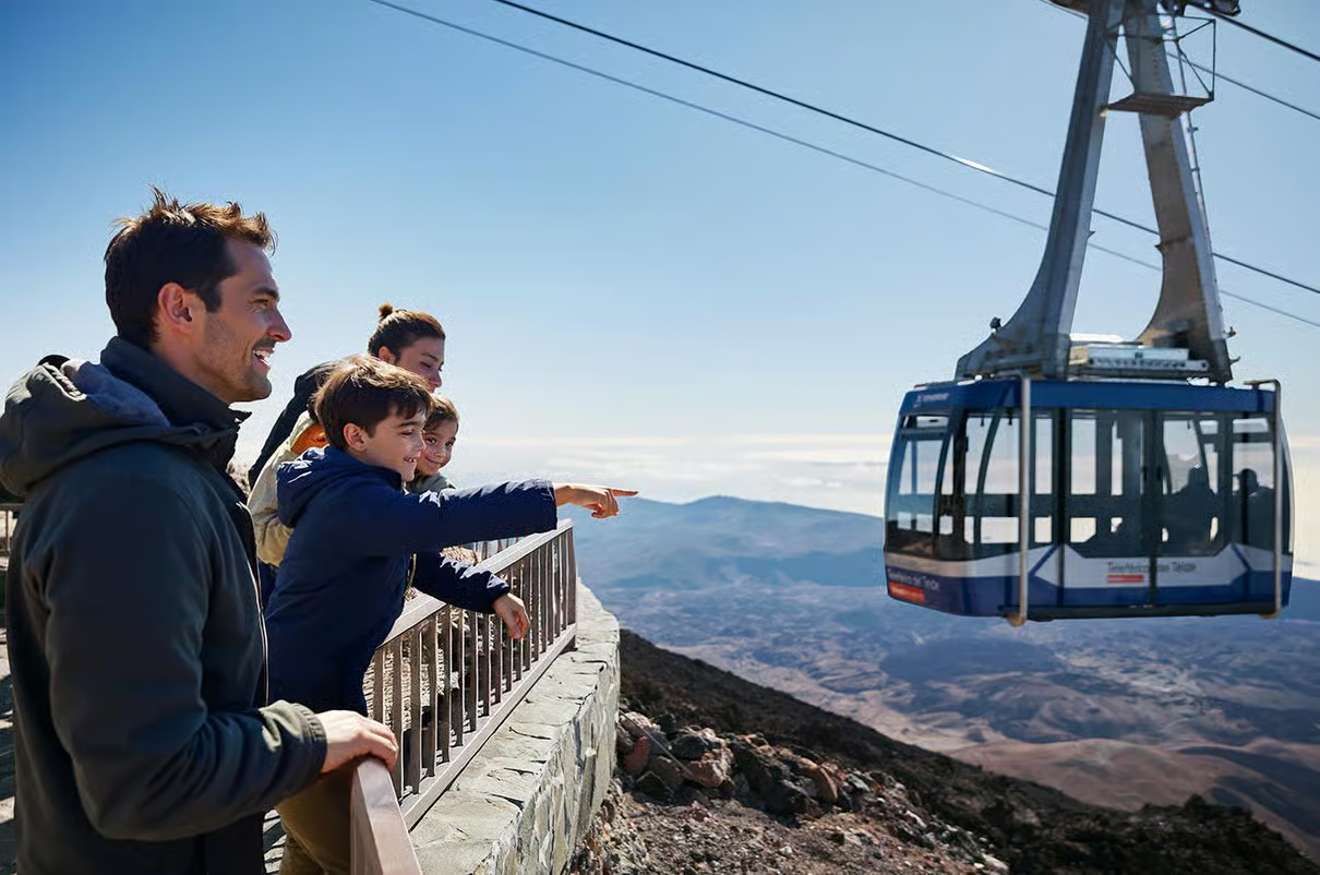
3. Teide cable car with transfer
A convenient way to see the high volcanic landscape with transport and a cable-car ticket included in the listed experience. The cable car does not take you to the summit itself; summit access requires separate permission. Check weather and altitude restrictions.
4. Sea Trek underwater walk
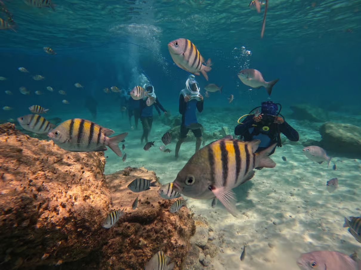
Try a guided underwater walk in Los Cristianos using a special diving helmet. A different way to experience the island’s coast; check the operator’s age and health requirements before booking.
5. Kayak and snorkel along the volcanic coast
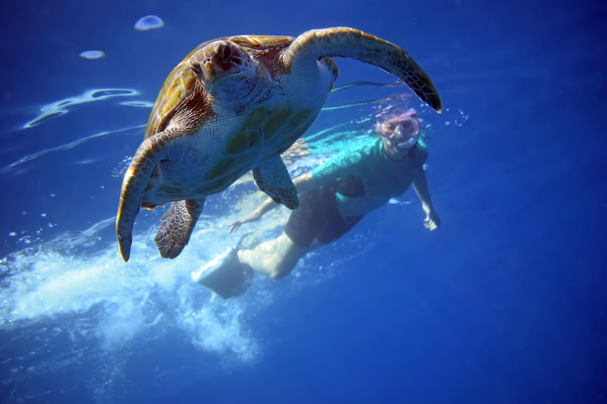
An active alternative for a day away from the mountain trails. Paddle along Tenerife’s coastline and explore the marine environment with a guide. Check swimming requirements and sea conditions; wildlife encounters cannot be promised.